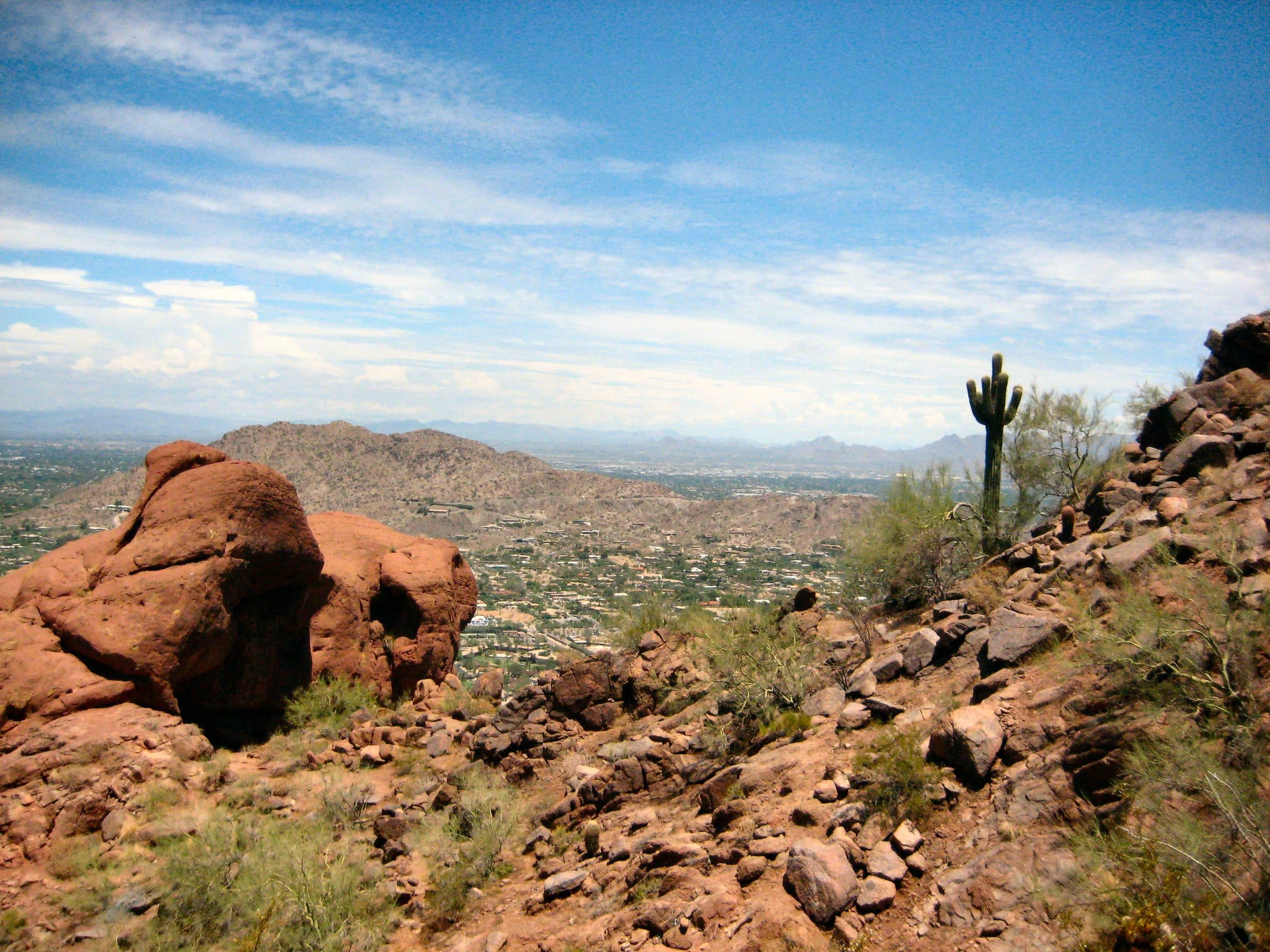
Camelback Mountain
Echo Canyon Trail · Cholla Trail · 2 routes
Photo: J. Miers (Jtesla16, Wikivoyage) · CC BY-SA 3.0Routes
- Distance
- 2.7 mimi
- Climb
- 1,492 ftft
- Est. time
- about 1 hours 40 minutes
- Difficulty
- Hard
Two steep, fully exposed routes to Camelback's 2,704-foot summit in the middle of Phoenix, both rated Extremely Difficult by the City.
Camelback rises out of the neighborhoods between Phoenix and Scottsdale, and the City calls it one of the nation's top hiking destinations. Echo Canyon, from the north side, is the shorter and steeper of the two routes; near the top the trail gets hard to follow and some sections are climbing rather than hiking. Cholla comes up the east end from Invergordon Rd, and its upper third is a steep boulder field; the City suggests tired hikers turn around at the saddle rest area. Neither route has shade, both close on Extreme Heat Warning days, and dogs aren't allowed.
- Parking
In winter and spring the lot is typically full from late morning on weekdays and all day on weekends; the gate closes when it's full, and idling on McDonald Dr or Tatum Blvd is ticketed.
Trailhead: Echo Canyon Trailhead.
- Fee
Free
- Dogs
- No dogs
- Shade
- Minimal
- Hazards
- The City of Phoenix closes this trail 8a–5p on Extreme Heat Warning days.
- Near the top the trail gets hard to follow, and some sections are climbing rather than hiking.
- The City says it's common for capable, prepared hikers to need rescue crews here.
- Best months
October to April, when the average high in Phoenix is under 90°F.
- Sources
5 sources · last verified Sep 24, 2026. Report a change
Photo: J. Miers (Jtesla16, Wikivoyage) · CC BY-SA 3.0
Where each fact comes from
- Camelback Mountain trail map — City of Phoenix (PDF) checked 2026-09-27
- Camelback Mountain — City of Phoenix Parks and Recreation checked 2026-09-24
- Camelback Mountain Trails — City of Phoenix Parks and Recreation checked 2026-09-24
- Camelback Mountain Parking — Adventure Evermore (updated 2026-02-14) checked 2026-09-24
- Best months: normal high under 90°F, Phoenix Sky Harbor 1991–2020 (NOAA NCEI) checked 2026-09-24
Low heat risk · now
74°F now · high 86°
Sunset 5:49p · ~1h 40m hike
As of Today 9:42a · NWS forecast · NWS alerts · NWS HeatRisk
Next 6 days · high / low · NWS HeatRisk today 1 of 4
- Tomorrow89° / 68°
- Wed83° / 72°Rain 80% 6:12a–5:47p
- Thu77° / 67°Rain 72% 6:13a–5p
- Fri74° / 60°
- Sat77° / 57°
- Sun80° / 58°
From the trail
Field notes
Owen · Echo Canyon Trail · Mar 2023
Arrive early to beat the crowds and heat. Like maybe even before sunrise if you have a headlamp and are comfortable hiking in low-light conditions. We started at Echo Canyon and hiked through to Cholla Trailhead. If you go that route, be prepared to walk a couple miles back to the parking lot or take an Uber.
Nearby
Phoenix
- Distance
- 3.1 mimi
- Climb
- 1,286 ftft
- Est. time
- about 1 hours 40 minutes
- Difficulty
- Hard
Two steep, fully exposed routes to Camelback's 2,704-foot summit in the middle of Phoenix, both rated Extremely Difficult by the City.
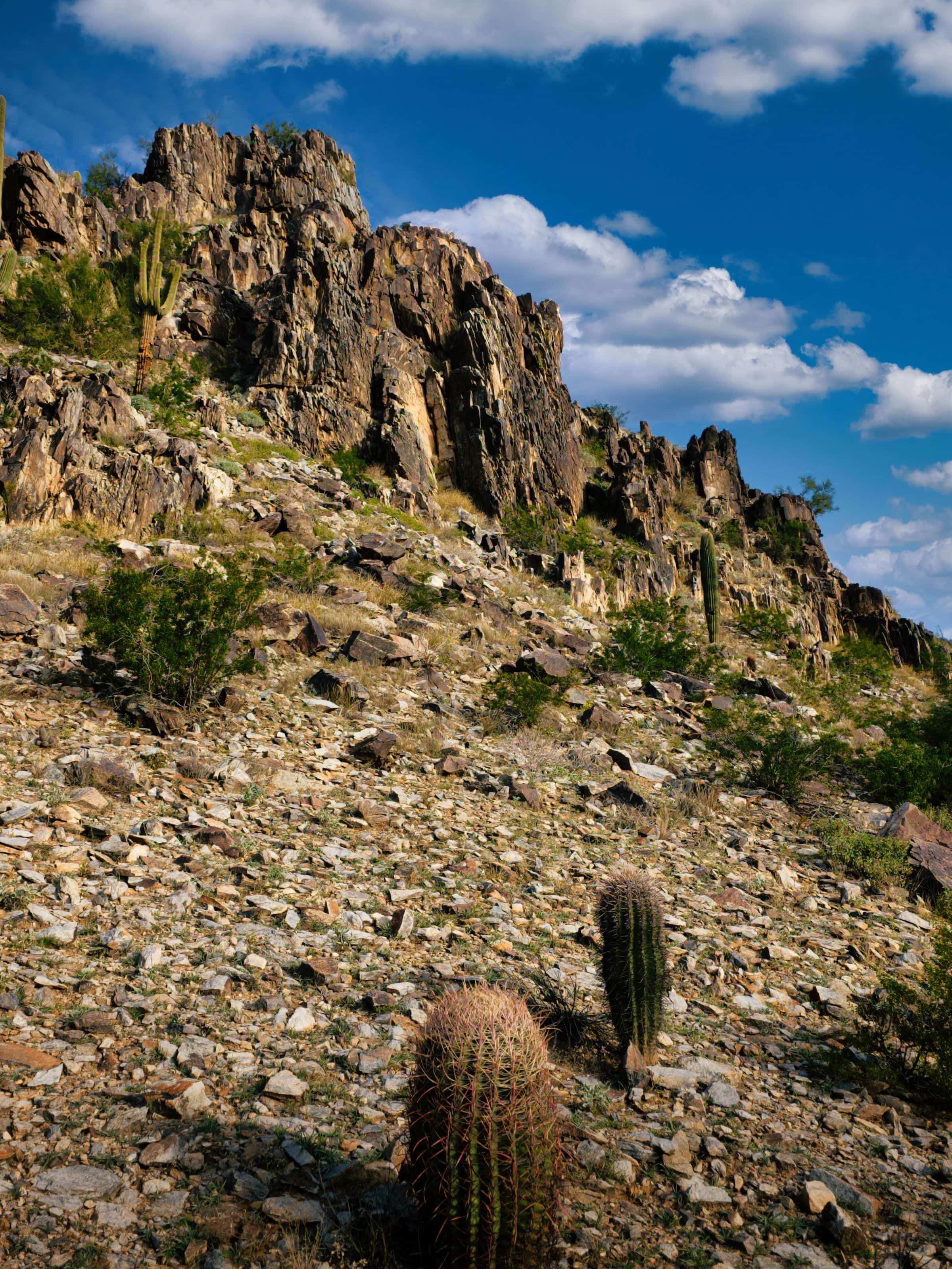
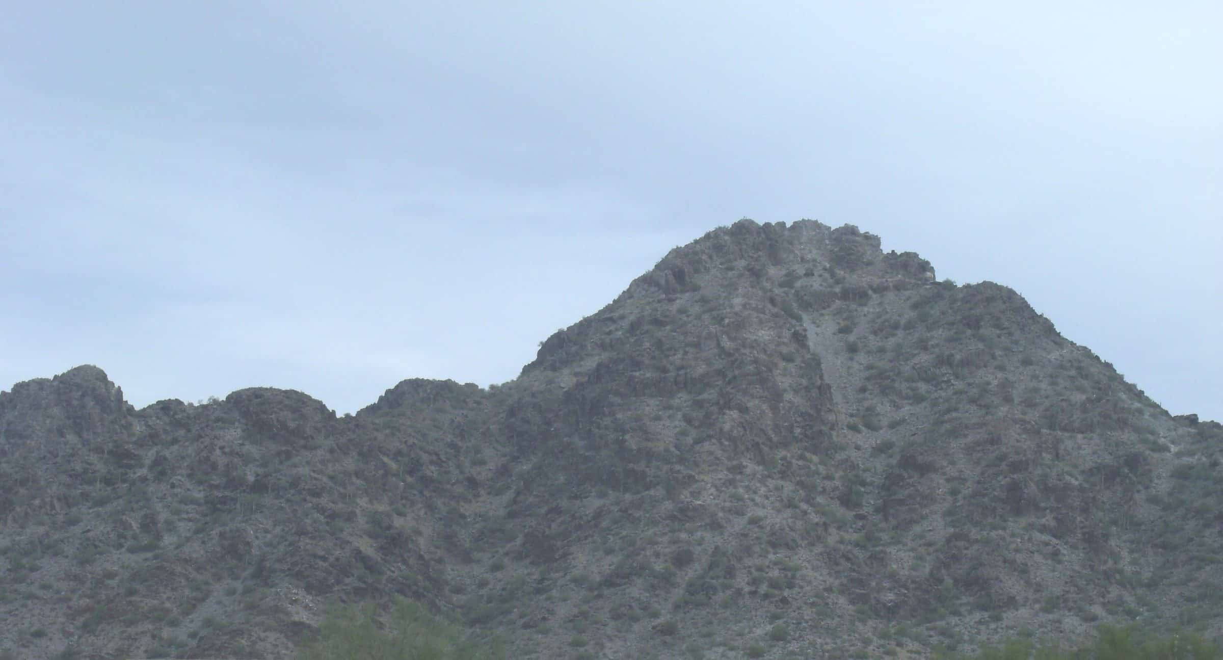
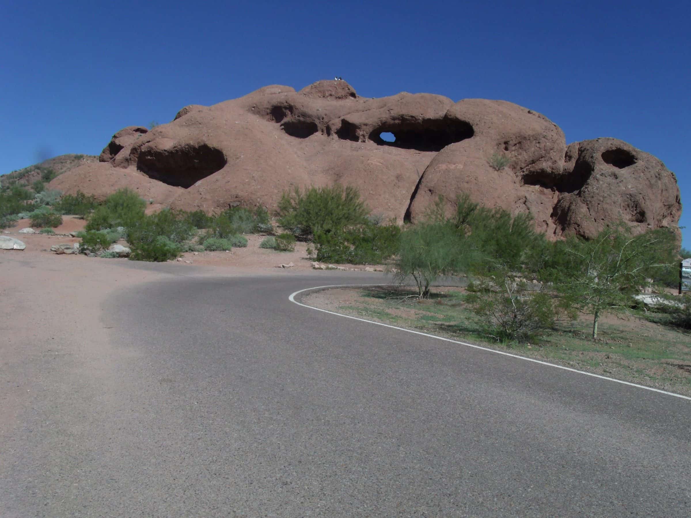
Camelback rises out of the neighborhoods between Phoenix and Scottsdale, and the City calls it one of the nation's top hiking destinations. Echo Canyon, from the north side, is the shorter and steeper of the two routes; near the top the trail gets hard to follow and some sections are climbing rather than hiking. Cholla comes up the east end from Invergordon Rd, and its upper third is a steep boulder field; the City suggests tired hikers turn around at the saddle rest area. Neither route has shade, both close on Extreme Heat Warning days, and dogs aren't allowed.
- Parking
No lot. Parallel parking only in the designated sections on the west side of Invergordon Rd, then a gravel path along Cholla Ln to the trailhead; cars parked elsewhere are towed.
Trailhead: Cholla Trailhead.
- Fee
Free
- Dogs
- No dogs
- Shade
- Minimal
- Hazards
- The City of Phoenix closes this trail 8a–5p on Extreme Heat Warning days.
- The upper third is extremely steep, strewn with boulders and hard to follow; the City advises tired hikers to turn around at the saddle rest area.
- Best months
October to April, when the average high in Phoenix is under 90°F.
- Sources
5 sources · last verified Sep 24, 2026. Report a change
Photo: J. Miers (Jtesla16, Wikivoyage) · CC BY-SA 3.0
Where each fact comes from
- Camelback Mountain trail map — City of Phoenix (PDF) checked 2026-09-27
- Camelback Mountain — City of Phoenix Parks and Recreation checked 2026-09-24
- Camelback Mountain Trails — City of Phoenix Parks and Recreation checked 2026-09-24
- Camelback Mountain Parking — Adventure Evermore (updated 2026-02-14) checked 2026-09-24
- Best months: normal high under 90°F, Phoenix Sky Harbor 1991–2020 (NOAA NCEI) checked 2026-09-24
Low heat risk · now
74°F now · high 86°
Sunset 5:49p · ~1h 40m hike
As of Today 9:42a · NWS forecast · NWS alerts · NWS HeatRisk
Next 6 days · high / low · NWS HeatRisk today 1 of 4
- Tomorrow89° / 68°
- Wed83° / 72°Rain 79% 6:12a–5:47p
- Thu77° / 66°Rain 73% 6:13a–5p
- Fri74° / 60°
- Sat76° / 57°
- Sun79° / 58°
From the trail
Field notes
Owen · Echo Canyon Trail · Mar 2023
Arrive early to beat the crowds and heat. Like maybe even before sunrise if you have a headlamp and are comfortable hiking in low-light conditions. We started at Echo Canyon and hiked through to Cholla Trailhead. If you go that route, be prepared to walk a couple miles back to the parking lot or take an Uber.
Nearby
Phoenix