About
Touch Dirt AZ
Where to hike in and around the Valley, what’s open, and the best time to go.
Why
In Arizona, when you hike matters as much as where. The facts you need are spread across the Weather Service, city and county park pages, the Forest Service and old trip reports. This site pulls it all into one place.
Who
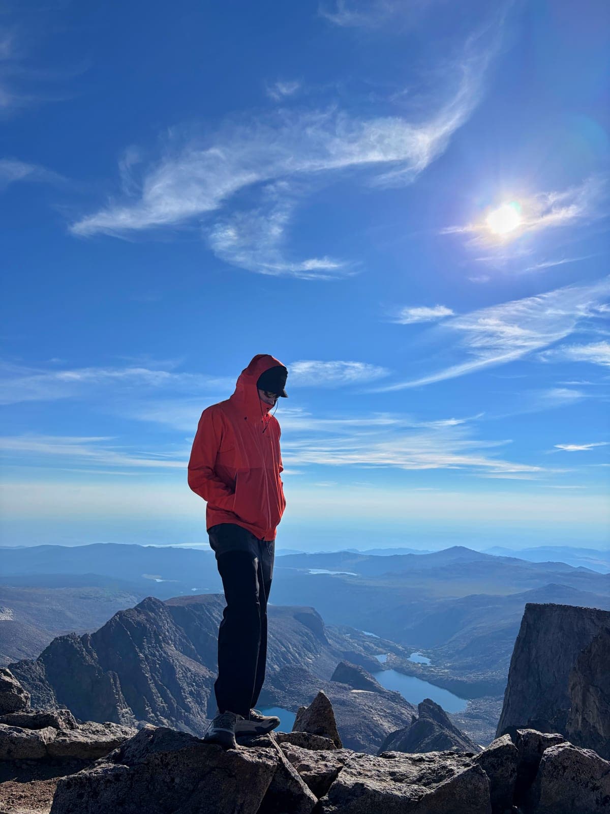
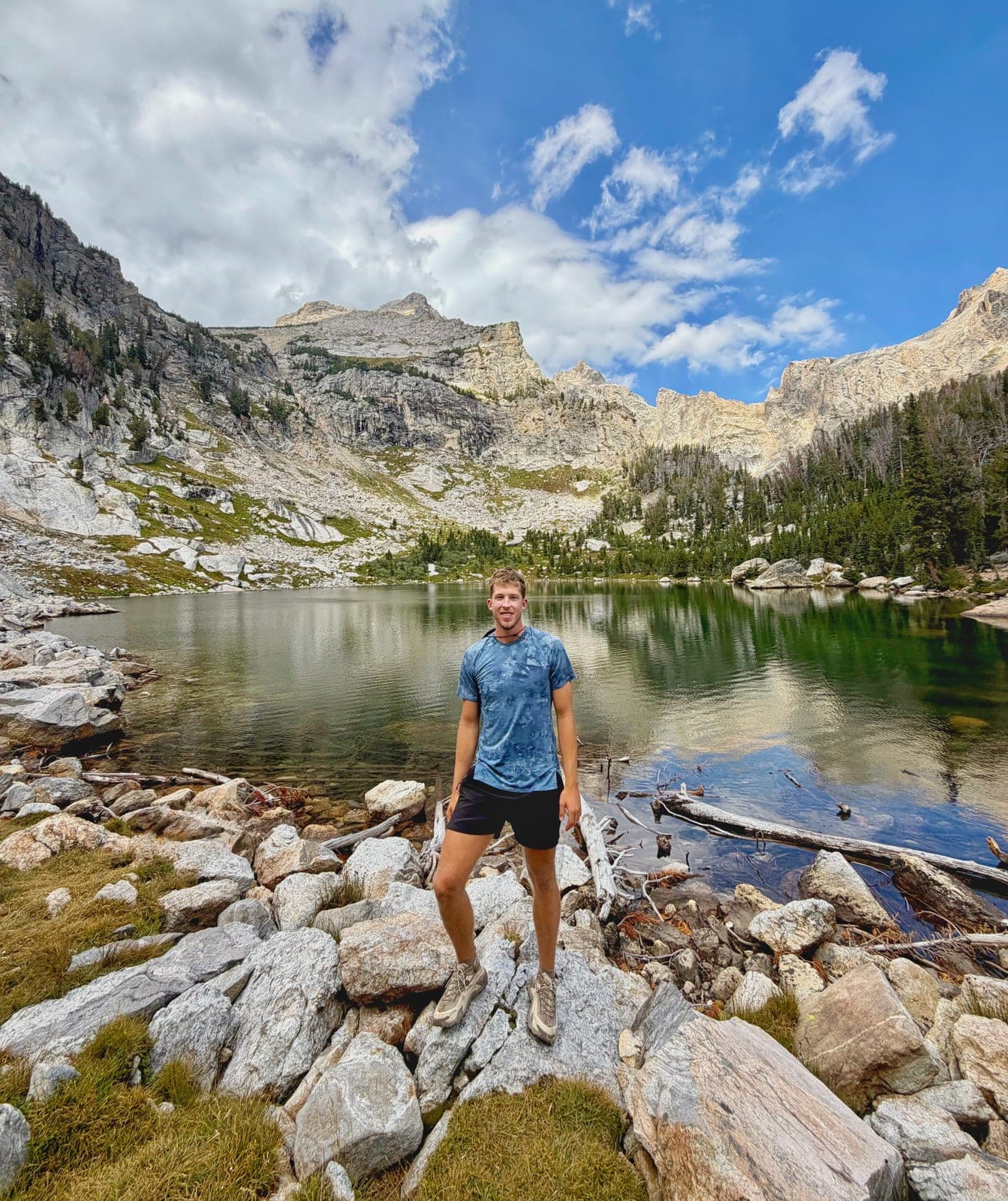
I’m Owen. I created Touch Dirt AZ shortly after moving to the Phoenix area from North Dakota in 2026. It started as the site I wanted when I got here: one place that says whether it’s a good time to go, and where.
How hikes are researched
- Rules, fees, closures and difficulty come from whoever manages the land: the City of Phoenix, Maricopa County Parks, Arizona State Parks, the Tonto National Forest and others. Every fact links to where it came from, under Sources on each hike.
- When I’ve hiked one, my field notes are on its page, with the route and the month. Until then, it’s researched from the sources alone.
- Conditions come live from the National Weather Service and NOAA, and refresh every 15 minutes. Hike times use a standard walking pace. How heat risk works.
Corrections
Trails change: lots close, rules update, fees go up. If something on a page is wrong or out of date, email hello@touchdirtaz.com with the hike and what you saw. Fixes go up as soon as they’re checked.
Photo credits
Photos not taken by me come from Wikimedia Commons under the licence named beside each one. The author links go to the original file.
- Today. Photo: Ray Redstone · CC BY-SA 4.0
- Barnhardt Trail. Photo: Matrixupgrade · CC BY-SA 4.0
- Black Mountain (Cave Creek). Photo: Chapm4sam · CC BY 4.0
- Boulder Canyon. Photo: Smiles1479 · CC BY-SA 3.0
- Brown's Ranch. Photo: Patrick Alexander · CC0
- Butcher Jones Trail. Photo: Owen
- Camelback Mountain. Photo: J. Miers (Jtesla16, Wikivoyage) · CC BY-SA 3.0
- Dobbins Lookout. Photo: Gage Skidmore · CC BY-SA 3.0
- Flatiron (Siphon Draw). Photo: Owen
- Four Peaks Trail. Photo: Richard N Horne · CC BY 4.0
- Four Peaks (Browns Peak). Photo: Jsayre64 · Public domain
- Fremont Saddle. Photo: David Taylor · CC BY 2.0
- Fremont Saddle. Photo: Owen
- Gateway Loop. Photo: Jeffrey Beall · CC BY 4.0
- Hidden Valley (Fat Man's Pass). Photo: ksblack99 · Public domain
- Hieroglyphic Trail. Photo: Thelighthouse at English Wikipedia · CC BY 3.0
- Hole-in-the-Rock. Photo: Tony the Marine · CC BY-SA 3.0
- Lookout Mountain. Photo: Patrick Alexander · CC0
- Lost Dog Wash and Ringtail Loop. Photo: Alysa Bajenaru · CC0
- Lower Salt River Nature Trail. Photo: Z Glyph · CC BY 3.0
- Mesquite Canyon and Goat Camp Loop. Photo: John Menard · CC BY-SA 2.0
- Pass Mountain Summit Loop. Photo: neepster · CC BY-SA 2.0
- Pass Mountain (Cat Peaks Loop). Photo: Z Glyph · CC BY 3.0
- Picacho Peak. Photo: Alan Stark · CC BY-SA 2.0
- Picketpost Mountain. Photo: Kevin Dooley · CC BY 2.0
- Piestewa Peak Freedom Trail. Photo: Carter Marchant · Pexels License
- Piestewa Peak. Photo: Tony the Marine · CC BY-SA 3.0
- Pinnacle Peak. Photo: Ray Redstone · CC BY-SA 4.0
- Pipeline Canyon. Photo: John Menard · CC BY-SA 2.0
- San Tan Mountain (Malpais Loop). Photo: Owen
- San Tan Mountain (Malpais Loop). Photo: Owen
- San Tan Mountain (Goldmine, San Tan and Moonlight Loop). Photo: Beyond My Ken · CC BY-SA 4.0
- San Tan Mountain (Dynamite and Goldmine Loop). Photo: Beyond My Ken · CC BY-SA 4.0
- Spur Cross Ranch. Photo: BowenLarsen · CC BY-SA 4.0
- Superstition Peak 5024 (Ironview Peak). Photo: Lisha Dunlap · Pexels License
- Superstition Ridgeline. Photo: Hoplophile · CC BY-SA 4.0
- Tom's Thumb. Photo: HTBFTBO · CC BY-SA 4.0
- Treasure Loop. Photo: Z Glyph · CC BY 3.0
- Wave Cave. Photo: lamblukas · CC BY 2.0
- White Tank Waterfall. Photo: Venske · CC BY-SA 3.0
- Wind Cave. Photo: Z Glyph · CC BY 3.0
Research note: hike details are gathered with AI-assisted research, checked against the cited sources, and reviewed by me. Field notes are my own.