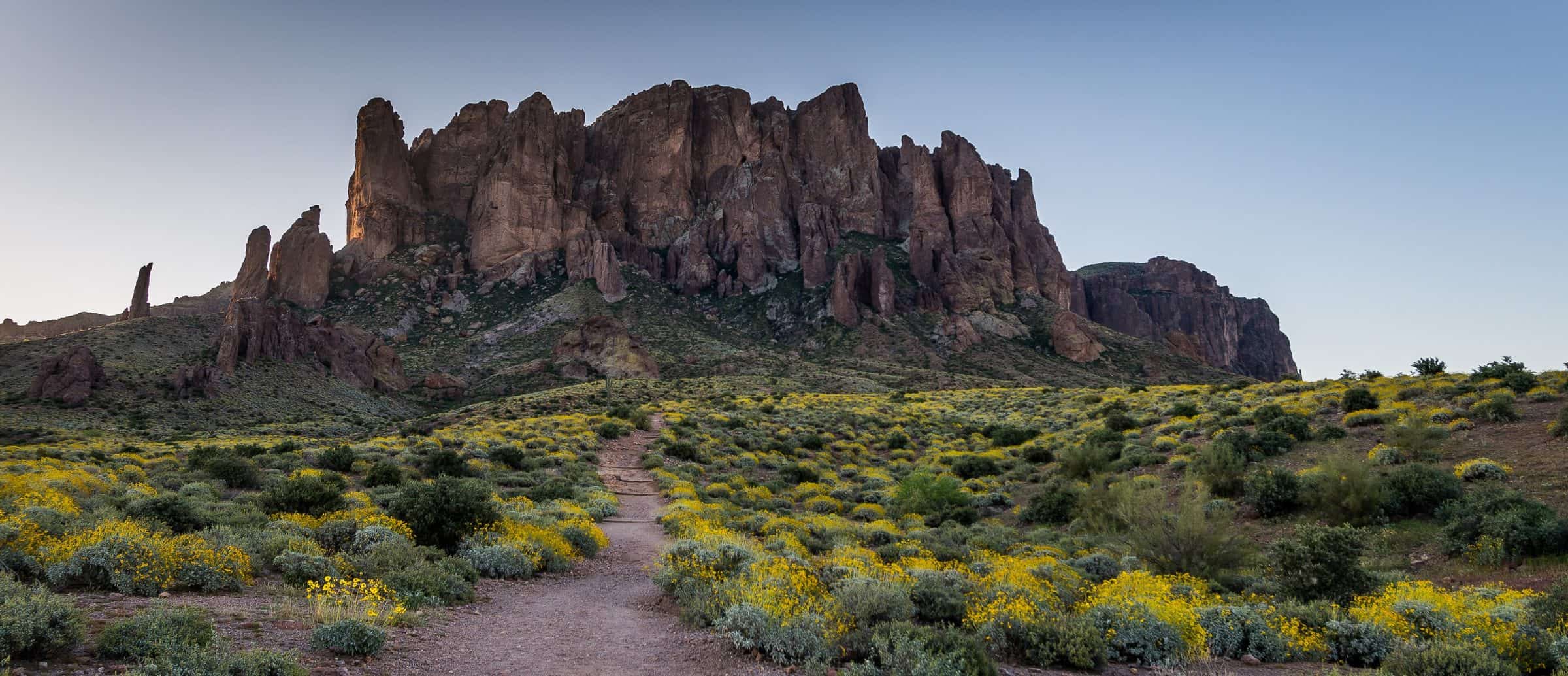
Superstition Ridgeline
Superstition Ridgeline, Siphon Draw to Peralta Road · Siphon Draw Trailhead, Lost Dutchman State Park; finish at the Lost Goldmine Trailhead (Peralta Rd.)
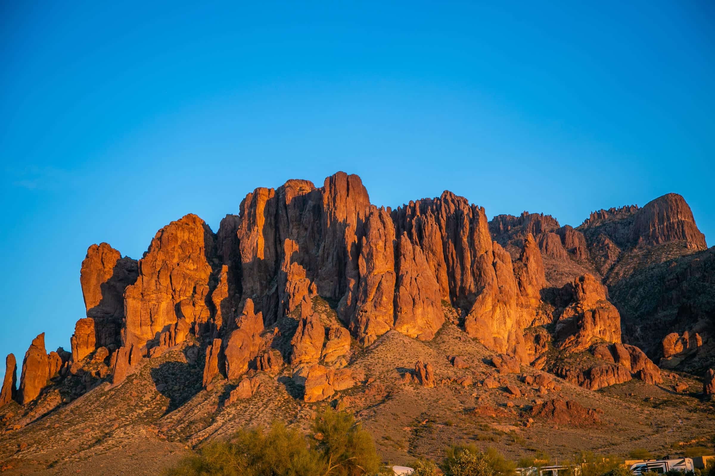
Photo: Hoplophile · CC BY-SA 4.0- Distance
- 11.5 mimi
- Climb
- 4,143 ftft
- Est. time
- about 5 hours 55 minutes
- Difficulty
- Hard
A long, rough traverse along the crest of the Superstitions, up Siphon Draw and south over the ridge to Peralta Road, with steady scrambling and route-finding. It needs a car at each end.
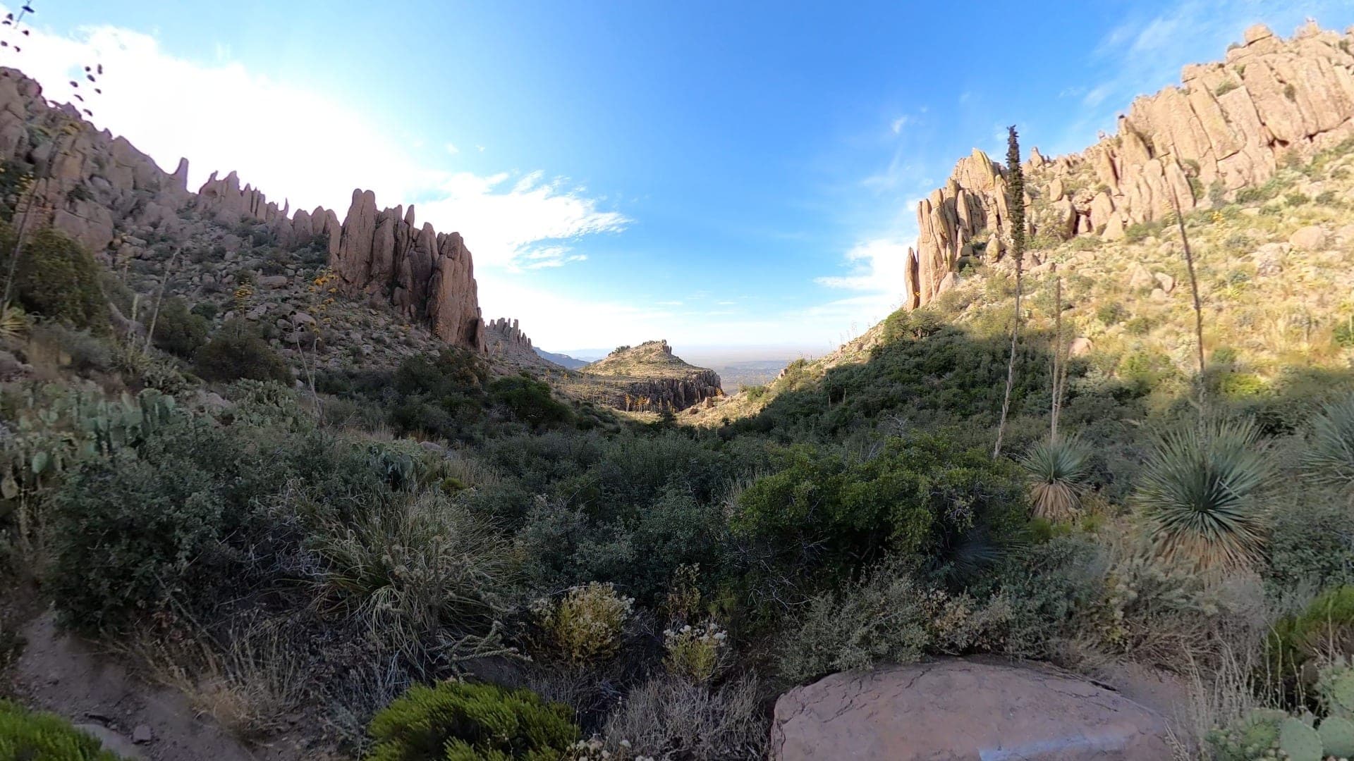
The Ridgeline follows the top of the Superstitions' western front, between the Flatiron above Lost Dutchman State Park and the Peralta Road area. It can be done in either direction. Along the crest the route drops and climbs again many times, with scrambling and some route-finding, and most hikers take 8 to 12 hours. The Carney Springs lot closed in March 2026, so the Peralta Road end is now the Lost Goldmine Trailhead. The Siphon Draw end is inside the state park, which charges a day-use fee.
- Parking
Start from the Siphon Draw lot in Lost Dutchman and leave a second car at the Lost Goldmine Trailhead on Peralta Rd. The old Carney Springs lot closed on March 2, 2026.
Trailhead: Siphon Draw Trailhead, Lost Dutchman State Park; finish at the Lost Goldmine Trailhead (Peralta Rd.).
- Fee
$20/vehicle
Lost Dutchman State Park day-use fee for the car at the Siphon Draw end; $10 with one person.
- Dogs
- Dogs on leash
- Shade
- Not confirmed yet
- Hazards
- A long day with repeated scrambling and route-finding on the crest; most hikers take 8 to 12 hours.
- The route between Siphon Draw and the crest isn't obvious. Carry a GPS track.
- Lost Dutchman's gates are locked from 8 p.m. to 6 a.m. Plan the car shuttle so a car isn't locked in.
- Best months
October to April, when the average high in Phoenix is under 90°F.
- Trail map
- None found
- Sources
8 sources · last verified Oct 2, 2026. Report a change
Photo: Hoplophile · CC BY-SA 4.0
Where each fact comes from
- Lost Dutchman State Park — Arizona State Parks checked 2026-10-02
- Trails — Lost Dutchman State Park, Arizona State Parks checked 2026-10-02
- Dog-Friendly Parks (6 ft leash rule) — Arizona State Parks checked 2026-09-24
- Tonto National Forest — FAQs ("Pets are welcome, but must be kept on a leash") checked 2026-10-02
- Supervisor Serdy Addresses Planned Peralta Road Improvements — Pinal County (Feb 26, 2026: Wave Cave/Carney Springs parking closes March 2, 2026) checked 2026-10-02
- OpenStreetMap — parking lot beside the Siphon Draw Trail checked 2026-09-24
- Superstition Ridgeline — WildPathsAZ (hiked Dec 2022) checked 2026-10-02
- Best months: normal high under 90°F, Phoenix Sky Harbor 1991–2020 (NOAA NCEI) checked 2026-10-02
Low heat risk · now
72°F now · high 81°
Sunset 5:47p · ~5h 55m hike
As of Today 9:42a · NWS forecast · NWS alerts · NWS HeatRisk · Tonto National Forest
Next 6 days · high / low · NWS HeatRisk today 1 of 4
- Tomorrow84° / 65°
- Wed80° / 68°Rain 83% 6:10a–5:45p
- Thu72° / 64°Rain 91% 6:11a–5:44p
- Fri69° / 58°
- Sat72° / 54°
- Sun75° / 57°
From the trail
Field notes
Not field-tested yet. This hike is researched from 8 sources, listed above. When Owen hikes it, his notes go here with the route and month.
Same trailhead
Siphon Draw Trailhead, Lost Dutchman State Park
Nearby
East Valley & Superstitions