San Tan Mountain (Goldmine, San Tan and Moonlight Loop)
Goldmine, San Tan and Moonlight Trail Loop · San Tan Mountain Regional Park trailhead
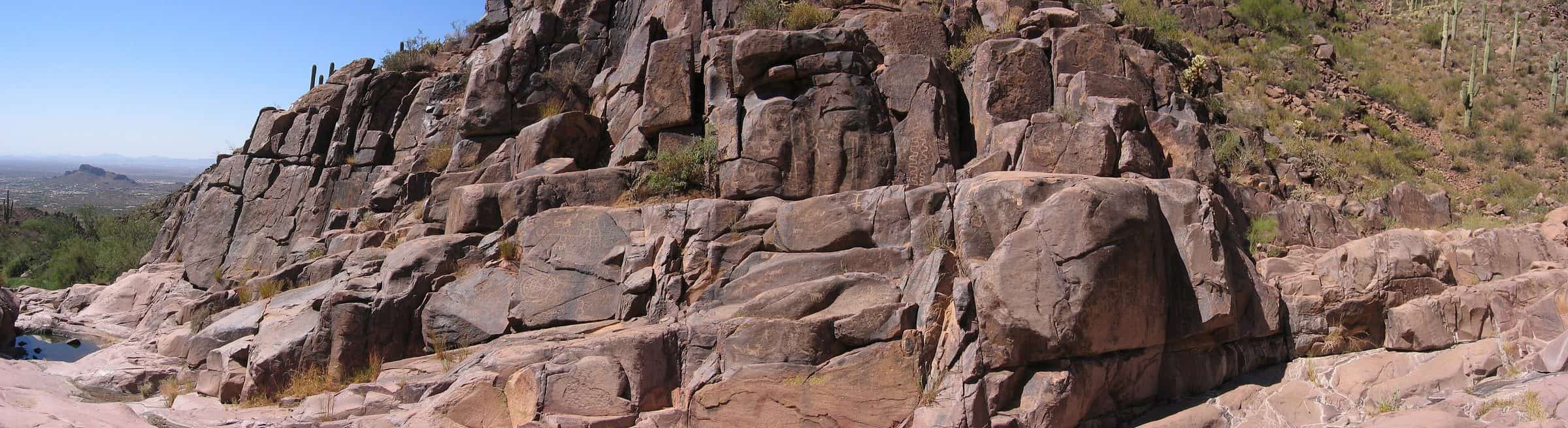
Photo: Beyond My Ken · CC BY-SA 4.0- Distance
- 3.8 mimi
- Climb
- 242 ftft
- Est. time
- about 1 hours 25 minutes
- Difficulty
- Easy
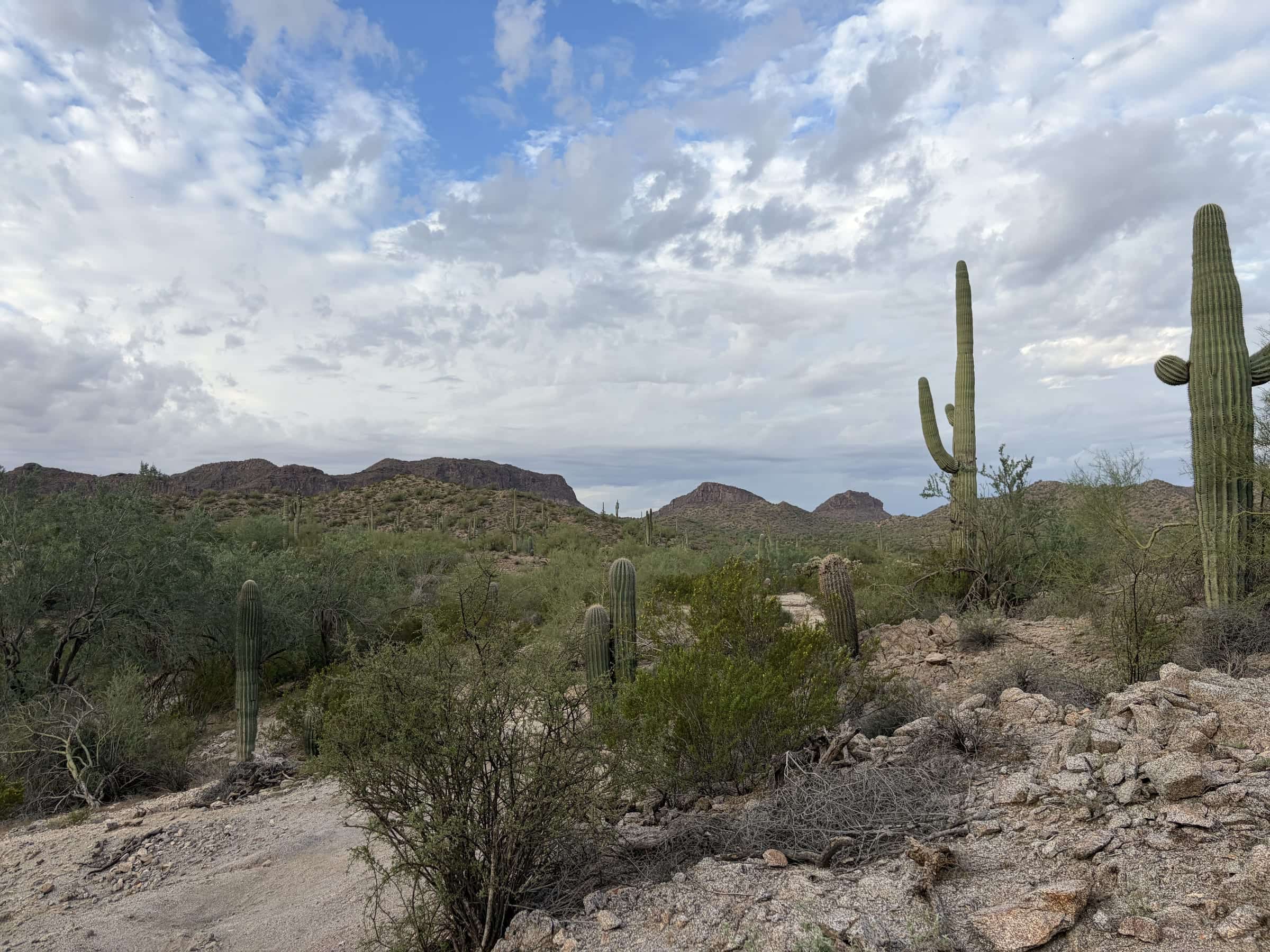
An easy, low loop on the Goldmine, San Tan and Moonlight trails in San Tan Mountain Regional Park, starting from the main lot by the visitor center.
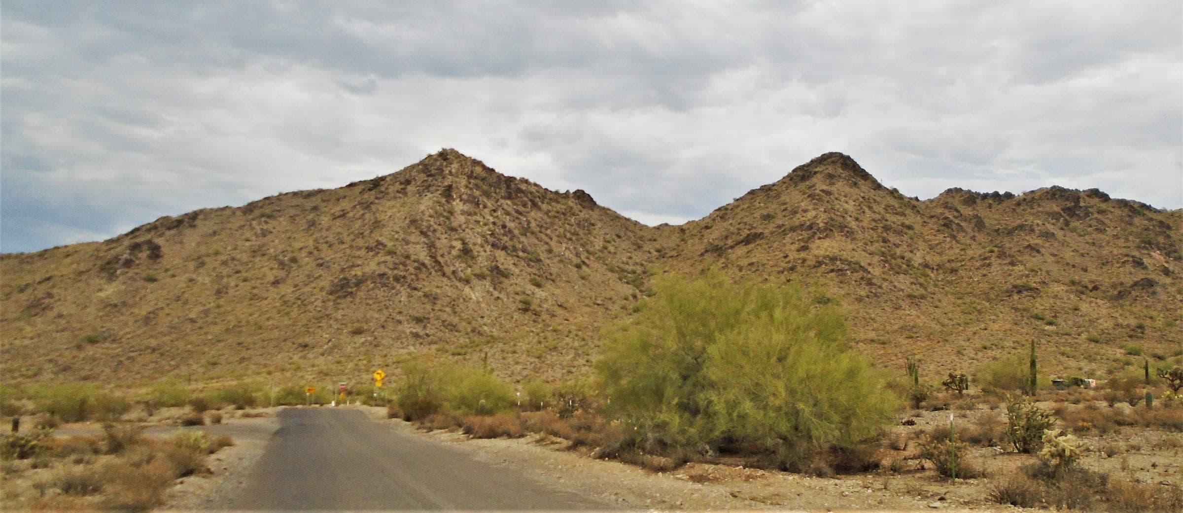
San Tan Mountain Regional Park covers more than 10,000 acres, from creosote flats to dense saguaro forest. This loop stays low and starts at the main lot by the visitor center, which has a tortoise habitat.
- Parking
No parking details yet.
Trailhead: San Tan Mountain Regional Park trailhead.
- Fee
$10/vehicle
$5 per person walking, biking or riding in
- Dogs
- Dogs on leash
- Shade
- Not confirmed yet
- Hazards
- No specific hazards recorded beyond desert heat.
- Best months
October to April, when the average high in Phoenix is under 90°F.
- Sources
7 sources · last verified Oct 2, 2026. Report a change
Photo: Beyond My Ken · CC BY-SA 4.0
Where each fact comes from
- San Tan Mountain Regional Park map — Maricopa County Parks (PDF) checked 2026-09-27
- Park Fees — Maricopa County Parks and Recreation checked 2026-09-24
- Park Rules — Maricopa County Parks checked 2026-09-24
- Easy loop: 3.8 mi with about 250 ft of gain (our reading of the route stats) checked 2026-09-24
- OpenStreetMap — main parking lot at the San Tan Mountain Regional Park entrance checked 2026-09-24
- Best months: normal high under 90°F, Phoenix Sky Harbor 1991–2020 (NOAA NCEI) checked 2026-09-24
- San Tan Mountain — Maricopa County Parks checked 2026-10-02
Low heat risk · now
72°F now · high 85°
Sunset 5:48p · ~1h 25m hike
As of Today 9:42a · NWS forecast · NWS alerts · NWS HeatRisk
Next 6 days · high / low · NWS HeatRisk today 1 of 4
- Tomorrow88° / 67°
- Wed84° / 70°Rain 65% 6:10a–5:46p
- Thu76° / 66°Rain 77% 6:11a–5p
- Fri73° / 59°
- Sat74° / 55°
- Sun78° / 56°
From the trail
Field notes
Not field-tested yet. This hike is researched from 7 sources, listed above. When Owen hikes it, his notes go here with the route and month.
Nearby
East Valley & Superstitions
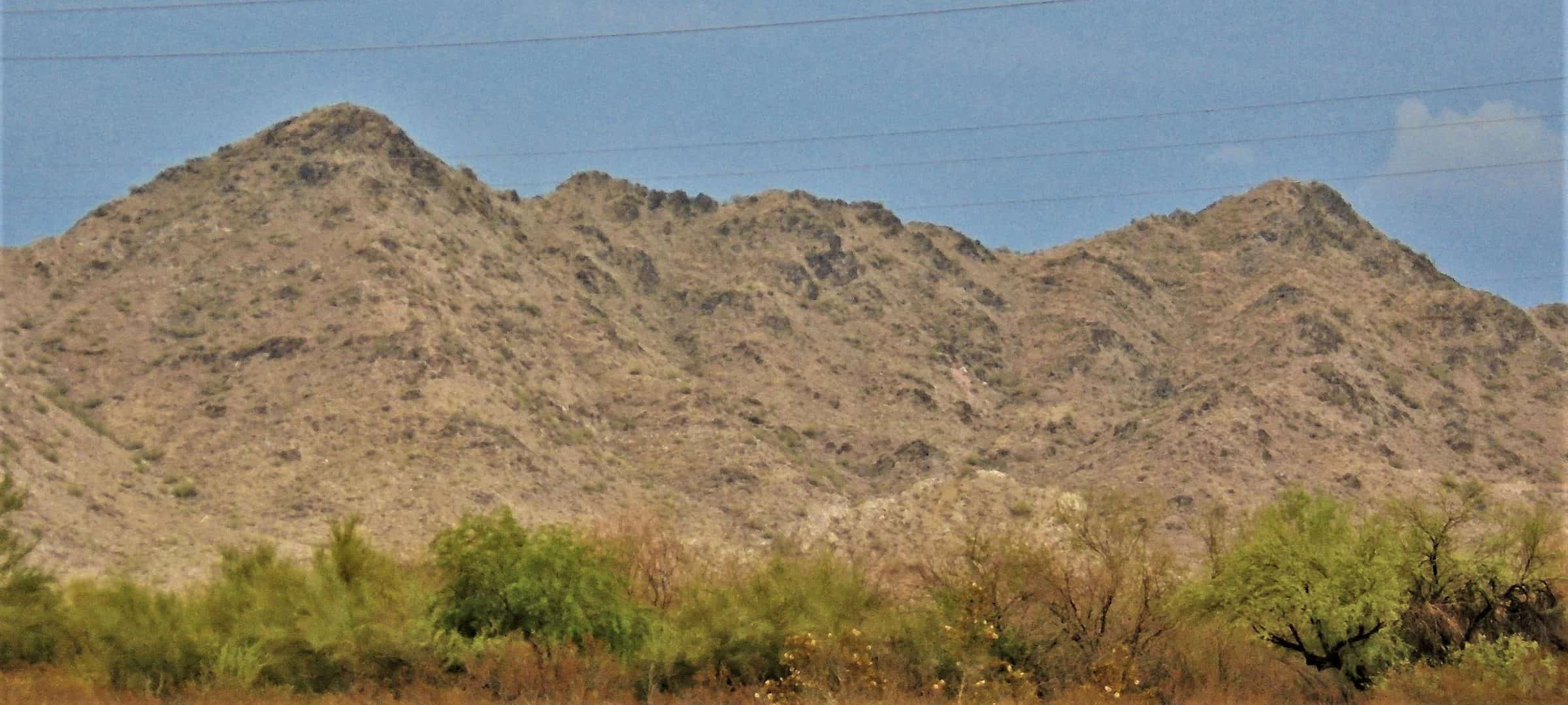
San Tan Mountain (Dynamite and Goldmine Loop)
4.7 mi · 770 ft · Hard · ~1h 55m
$10/vehicle · Dogs on leash