San Tan Mountain (Dynamite and Goldmine Loop)
Dynamite and Goldmine Trail Loop · Goldmine Trailhead (Skyline Dr. and Wagon Wheel Rd.)
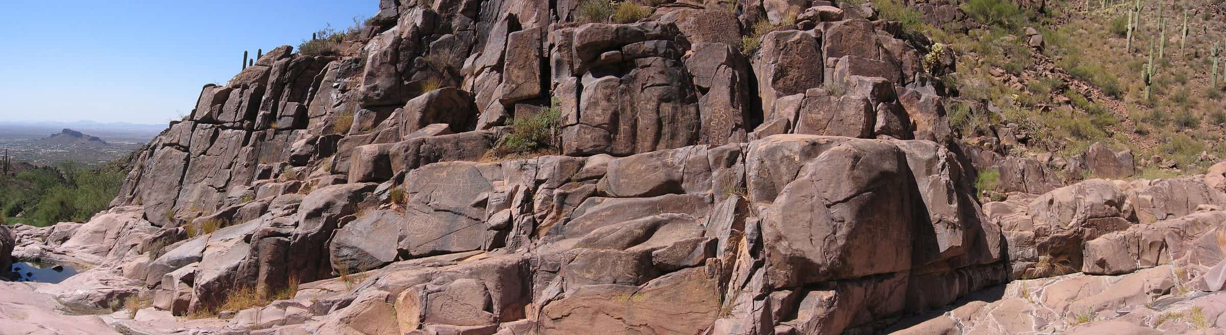
Photo: Beyond My Ken · CC BY-SA 4.0- Distance
- 4.7 mimi
- Climb
- 770 ftft
- Est. time
- about 1 hours 55 minutes
- Difficulty
- Hard
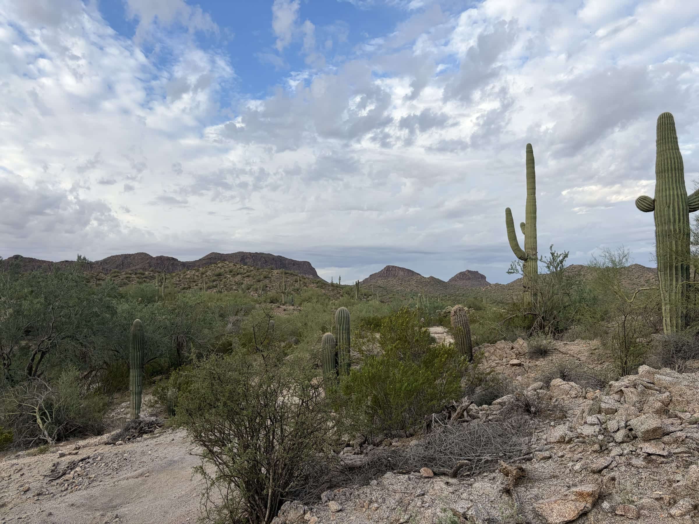
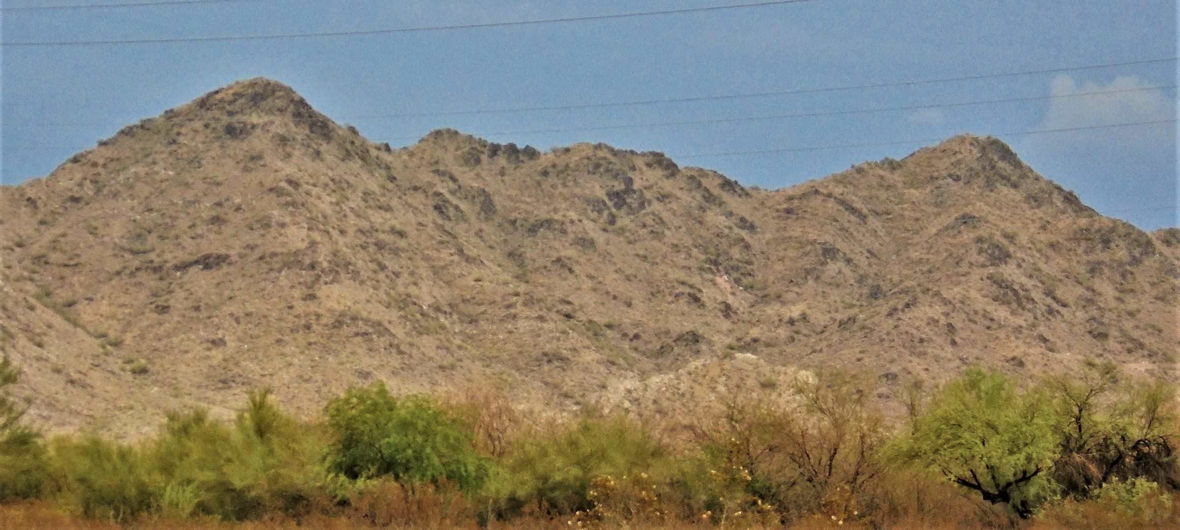
A loop over Goldmine Mountain from the Goldmine Trailhead on the north edge of San Tan Mountain Regional Park, with a steep, rocky climb on the Goldmine Trail.
San Tan Mountain Regional Park covers more than 10,000 acres, from creosote flats to dense saguaro forest. The Dynamite and Goldmine loop starts at the Goldmine Trailhead on the park's north edge and climbs over Goldmine Mountain.
- Parking
Small lot by the north trailhead.
Trailhead: Goldmine Trailhead (Skyline Dr. and Wagon Wheel Rd.).
- Fee
$10/vehicle
$5 per person walking, biking or riding in
- Dogs
- Dogs on leash
- Shade
- None
- Hazards
- Steep, rocky climb on the Goldmine Trail.
- Best months
October to April, when the average high in Phoenix is under 90°F.
- Sources
8 sources · last verified Oct 2, 2026. Report a change
Photo: Beyond My Ken · CC BY-SA 4.0
Where each fact comes from
- San Tan Mountain Regional Park map — Maricopa County Parks (PDF) checked 2026-09-27
- Trails — San Tan Mountain Regional Park, Maricopa County Parks checked 2026-09-24
- Park Fees — Maricopa County Parks and Recreation checked 2026-09-24
- Park Rules — Maricopa County Parks checked 2026-09-24
- Best months: normal high under 90°F, Phoenix Sky Harbor 1991–2020 (NOAA NCEI) checked 2026-09-24
- San Tan Mountain — Maricopa County Parks checked 2026-10-02
- Goldmine Trailhead — OpenStreetMap checked 2026-10-02
- Goldmine Dynamite Loop — WildPathsAZ (undated; mentions a new lot due late fall 2025) checked 2026-10-02
Low heat risk · now
74°F now · high 87°
Sunset 5:48p · ~1h 55m hike
As of Today 9:42a · NWS forecast · NWS alerts · NWS HeatRisk
Next 6 days · high / low · NWS HeatRisk today 1 of 4
- Tomorrow90° / 67°
- Wed86° / 71°Rain 67% 6:10a–5:46p
- Thu78° / 67°Rain 78% 6:11a–5p
- Fri75° / 59°
- Sat77° / 55°
- Sun81° / 58°
From the trail
Field notes
Owen · Dynamite and Goldmine Trail Loop · Mar 2025
This loop is great for a quick day hike, and is one I have came back to multiple times. It has a short steep section on the way up Goldmine, but after that there isn't much elevation change. It has good desert scenery and connects with other trails in San Tan Mountain Regional Park.
Nearby
East Valley & Superstitions
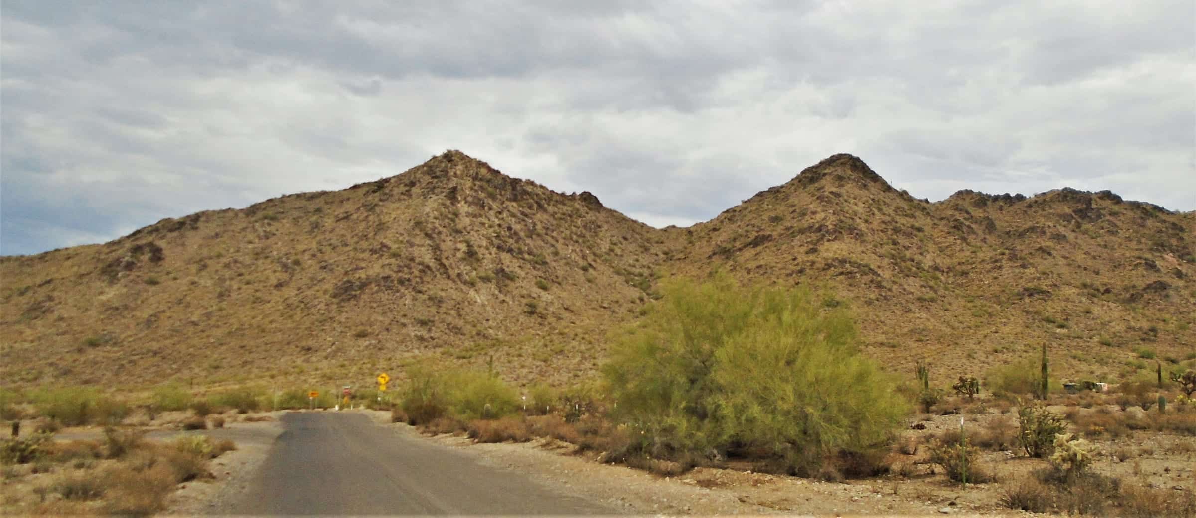
San Tan Mountain (Goldmine, San Tan and Moonlight Loop)
3.8 mi · 242 ft · Easy · ~1h 25m
$10/vehicle · Dogs on leash