- Distance
- 4.0 mimi
- Climb
- 318 ftft
- Est. time
- about 1 hours 30 minutes
- Difficulty
- Easy
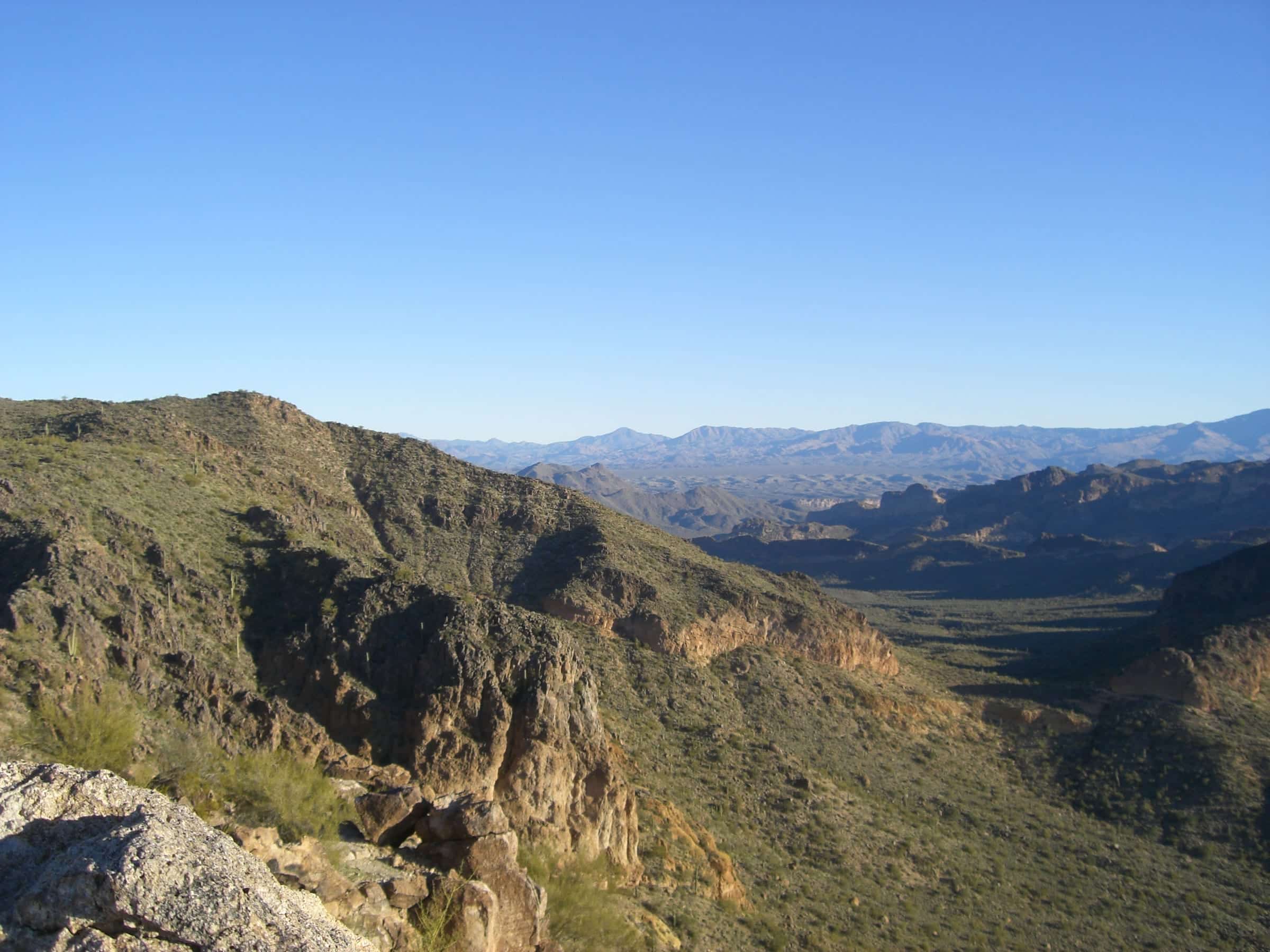
A gentle loop at Usery Mountain Regional Park along the base of Pass Mountain and around the small Cat Peaks.
A gentle loop on the flats below Pass Mountain, circling the small Cat Peaks. It's the easy option in the same park as the Wind Cave climb.
- Parking
No parking details yet.
Trailhead: Pass Mountain Trailhead, Usery Mountain Regional Park.
- Fee
$10/vehicle
$5 per person walking, biking or riding in
- Dogs
- Dogs on leash
- Shade
- Not confirmed yet
- Hazards
- No specific hazards recorded beyond desert heat.
- Best months
October to April, when the average high in Phoenix is under 90°F.
- Sources
8 sources · last verified Sep 24, 2026. Report a change
Where each fact comes from
- Usery Mountain Regional Park map — Maricopa County Parks (PDF) checked 2026-09-27
- Trails — Usery Mountain Regional Park, Maricopa County Parks checked 2026-09-24
- Park Fees — Maricopa County Parks and Recreation checked 2026-09-24
- Park Rules — Maricopa County Parks checked 2026-09-24
- Pass Mountain Trail / Maricopa Trail Trailhead — OpenStreetMap checked 2026-09-24
- Easy loop: 4.0 mi with about 300 ft of gain (our reading of the route stats) checked 2026-09-24
- Best months: normal high under 90°F, Phoenix Sky Harbor 1991–2020 (NOAA NCEI) checked 2026-09-24
- Usery Mountain — Maricopa County Parks checked 2026-10-02
Low heat risk · now
72°F now
First light Tomorrow 6:09a · ~1h 30m hike
- Not updating right now: NWS HeatRisk.
As of Today 9:09p · NWS forecast · NWS alerts · NWS HeatRisk
Next 6 days · high / low
- Tomorrow85° / 67°
- Tue87° / 68°
- Wed83° / 71°Rain 63% 6:10a–5:45p
- Thu75° / 64°Rain 77% 6:11a–5p
- Fri71° / 61°
- Sat75° / 59°
From the trail
Field notes
Not field-tested yet. This hike is researched from 8 sources, listed above. When Owen hikes it, his notes go here with the route and month.
Nearby
East Valley & Superstitions