Pass Mountain Summit Loop
Pass Mountain Summit Loop · Wind Cave Trailhead
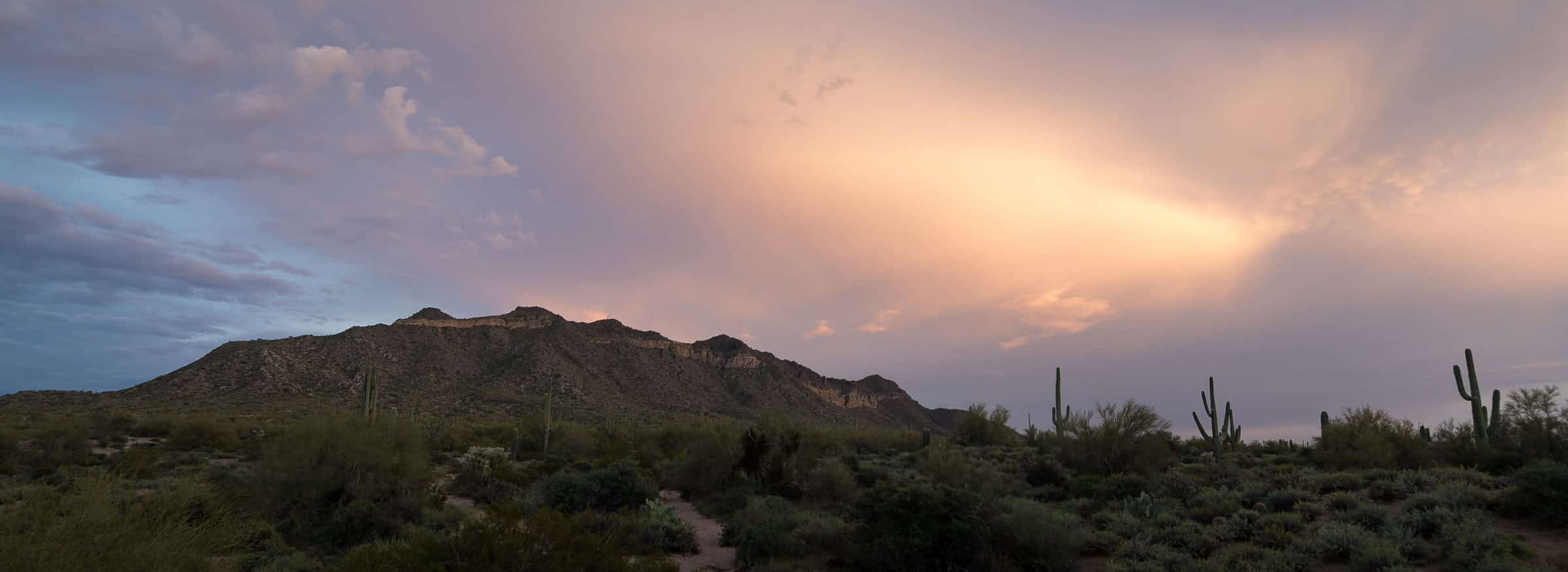
Photo: neepster · CC BY-SA 2.0- Distance
- 5.4 mimi
- Climb
- 1,528 ftft
- Est. time
- about 2 hours 35 minutes
- Difficulty
- Hard
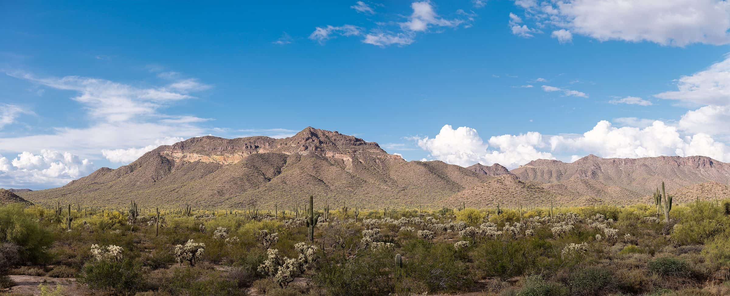
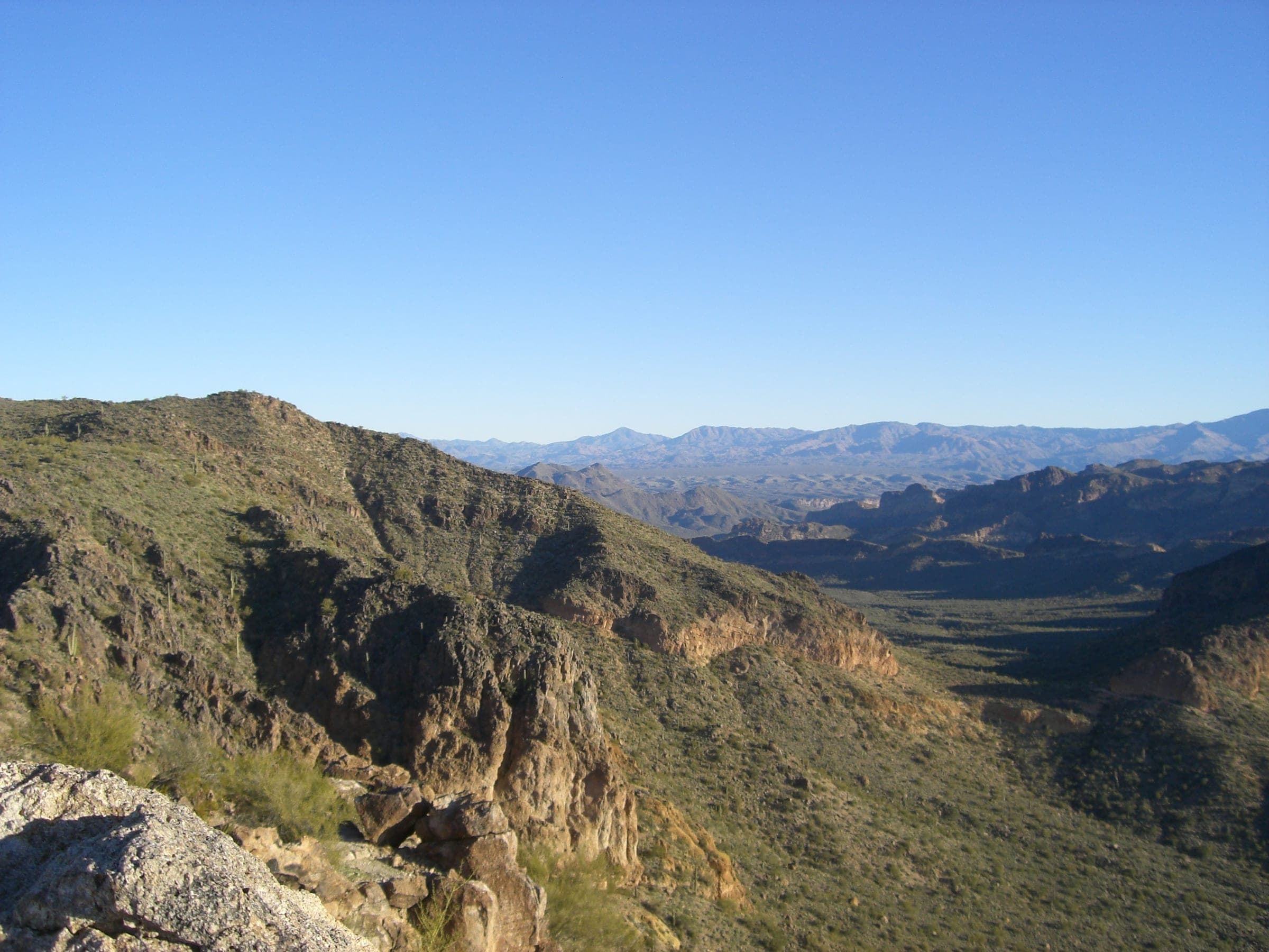
A rough loop that keeps going past Wind Cave on an unmaintained, cairned route along Pass Mountain's ridge, over the summit and back down to the Pass Mountain Trail.
The loop starts up the Wind Cave Trail and keeps going past the cave, where the maintained trail ends. From there it follows cairns along Pass Mountain's ridge, with some scrambling and a narrow, mildly exposed stretch north of the south peak, over the summit and down to the Pass Mountain Trail. There's no water on the route.
- Parking
The lot fills quickly on weekends; overflow parking is near the park entrance.
Trailhead: Wind Cave Trailhead.
- Fee
$10/vehicle
$5 per person walking, biking or riding in
- Dogs
- Dogs on leash
- Shade
- Minimal
- Hazards
- Past Wind Cave there's no maintained trail; the ridge route follows cairns and is easy to lose.
- Scrambling on the ridge, with mild exposure on a narrow section north of the south peak.
- No water on the route. Carry all you need.
- Best months
October to April, when the average high in Phoenix is under 90°F.
- Sources
7 sources · last verified Oct 2, 2026. Report a change
Photo: neepster · CC BY-SA 2.0
Where each fact comes from
- Usery Mountain Regional Park map — Maricopa County Parks (PDF) checked 2026-09-27
- Trails — Usery Mountain Regional Park, Maricopa County Parks checked 2026-09-24
- Fees — Usery Mountain Regional Park, Maricopa County Parks checked 2026-09-24
- Park Rules — Maricopa County Parks checked 2026-09-24
- Wind Cave Trailhead — OpenStreetMap checked 2026-09-24
- Pass Mountain Ridge Traverse — Earthline: The American West (hiked Dec 2018) checked 2026-10-02
- Best months: normal high under 90°F, Phoenix Sky Harbor 1991–2020 (NOAA NCEI) checked 2026-09-24
Low heat risk · now
72°F now · high 84°
Sunset 5:48p · ~2h 35m hike
As of Today 9:42a · NWS forecast · NWS alerts · NWS HeatRisk
Next 6 days · high / low · NWS HeatRisk today 1 of 4
- Tomorrow87° / 66°
- Wed82° / 70°Rain 82% 6:10a–5:45p
- Thu74° / 64°Rain 87% 6:11a–5p
- Fri72° / 58°
- Sat74° / 55°
- Sun77° / 57°
From the trail
Field notes
Owen · Pass Mountain Summit Loop · Mar 2026
I have done this loop a couple of times now, and it is perfect for someone feeling a little more adventurous after they reach Wind Cave. The trail up to the summit and along the ridge is not well maintained, but it is not too difficult to find. If you are continuing from Wind Cave, there will be some spots on the descent that have loose gravel so take it slow there. If you are someone who wasn't satisfied with the hike up to Wind Cave, completing the Summit Loop is perfect for you.
Same trailhead
Wind Cave Trailhead
Nearby
East Valley & Superstitions