Butcher Jones Trail
Butcher Jones Trail · Butcher Jones Day Use Area
Photo: Owen- Distance
- 5.9 mimi
- Climb
- 639 ftft
- Est. time
- about 2 hours 15 minutes
- Difficulty
- Moderate
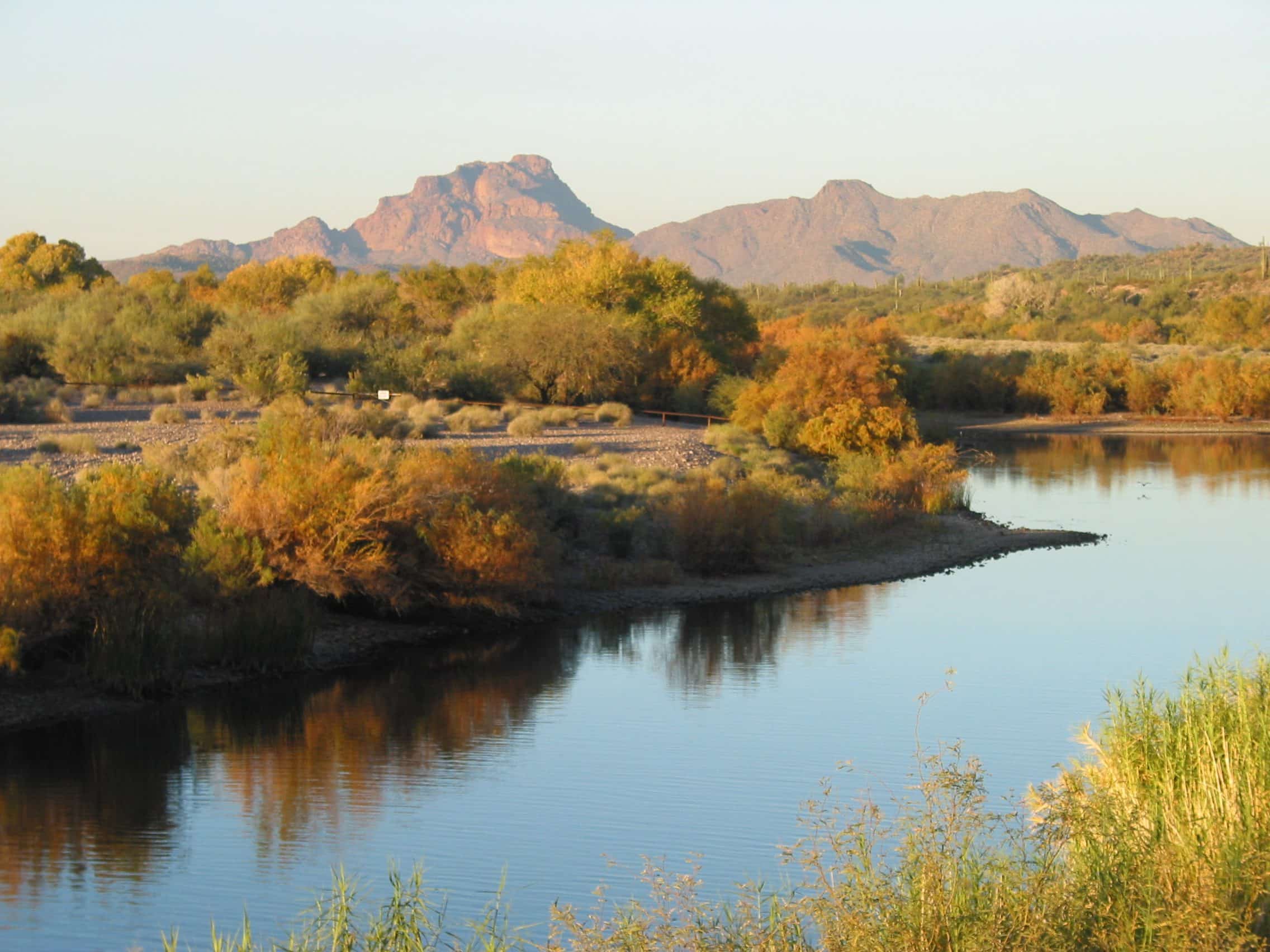
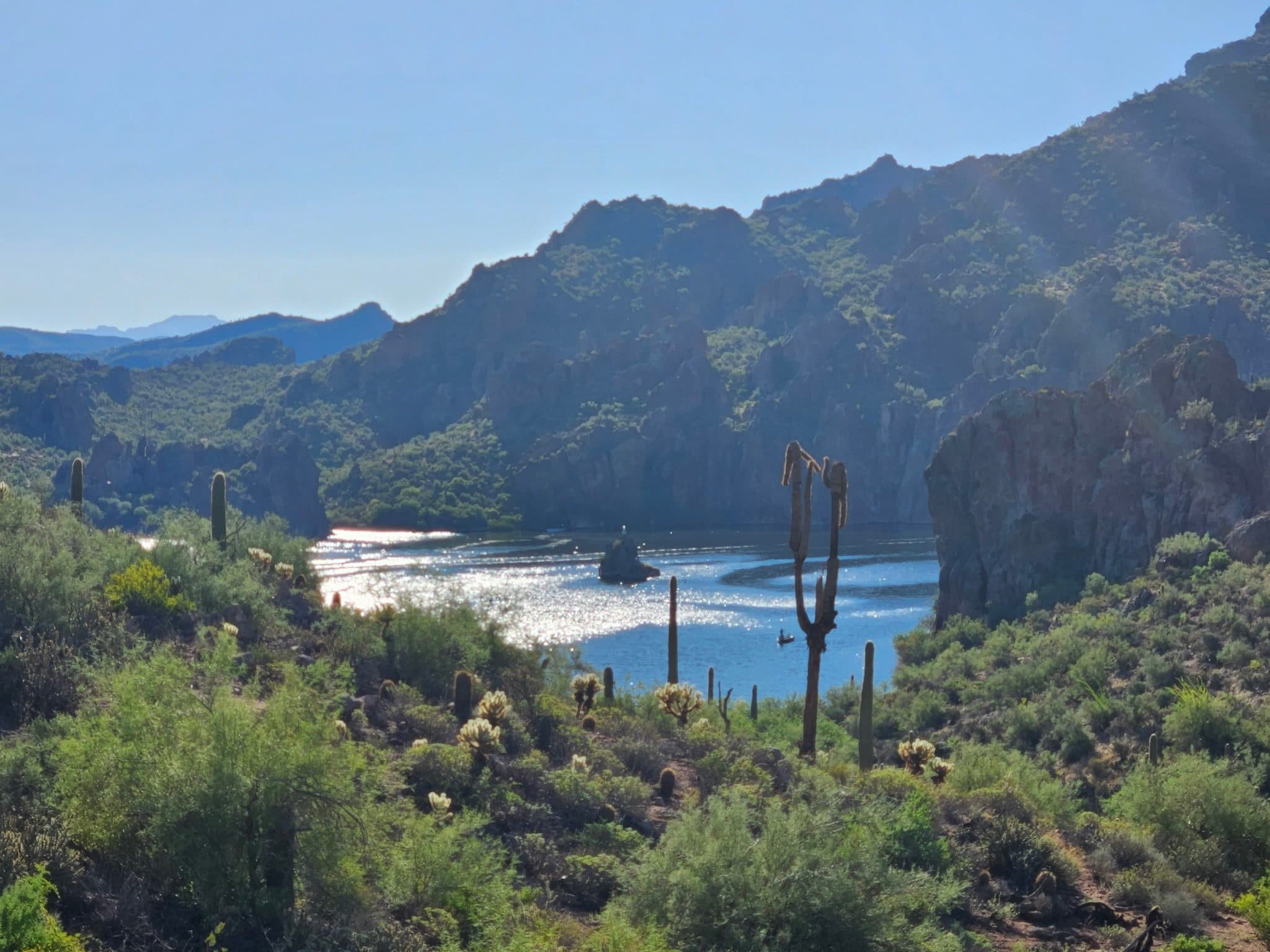
A rolling, mostly exposed shoreline trail along the north side of Saguaro Lake, running from a beach day-use area to a quiet cove near the Salt River.
The trail starts at Butcher Jones Beach on Saguaro Lake, a gently sloping beach with mesquite-shaded picnic tables, and follows the shore in and out of small coves. Most people turn around at Burro Cove, about three miles in. It's narrow and rocky in places, with little shade, and a Tonto Pass is required to park.
- Parking
The picnic and beach area fills rapidly in early spring and summer.
Trailhead: Butcher Jones Day Use Area.
- Fee
Tonto Pass
$8 per vehicle bought in advance from a Forest Service office or retail vendor; $12 at the on-site fee machine (card only).
- Dogs
- Dogs on leash
- Shade
- Minimal
- Hazards
- Rattlesnakes are most active from spring through early autumn.
- Best months
October to April, when the average high in Phoenix is under 90°F.
- Trail map
- Butcher Jones Trail on OpenStreetMap
- Sources
5 sources · last verified Sep 24, 2026. Report a change
Photo: Owen
Where each fact comes from
- Butcher Jones Trail — OpenStreetMap checked 2026-09-27
- Butcher Jones Day Use Area — Tonto National Forest checked 2026-09-24
- Butcher Jones Trail — 10Adventures (updated 2026-08-24) checked 2026-09-24
- Butcher Jones Trail: A Stunning Lakeside Hike — Danielle Outdoors (2024-03-06) checked 2026-09-24
- Best months: normal high under 90°F, Phoenix Sky Harbor 1991–2020 (NOAA NCEI) checked 2026-09-24
Low heat risk · now
74°F now · high 85°
Sunset 5:47p · ~2h 15m hike
As of Today 9:12a · NWS forecast · NWS alerts · NWS HeatRisk · Tonto National Forest
Next 6 days · high / low · NWS HeatRisk today 1 of 4
- Tomorrow88° / 67°
- Wed83° / 71°Rain 86% 6:10a–5:45p
- Thu75° / 66°Rain 92% 6:11a–5:44p
- Fri73° / 60°
- Sat76° / 57°
- Sun78° / 60°
From the trail
Field notes
Not field-tested yet. This hike is researched from 5 sources, listed above. When Owen hikes it, his notes go here with the route and month.
Nearby
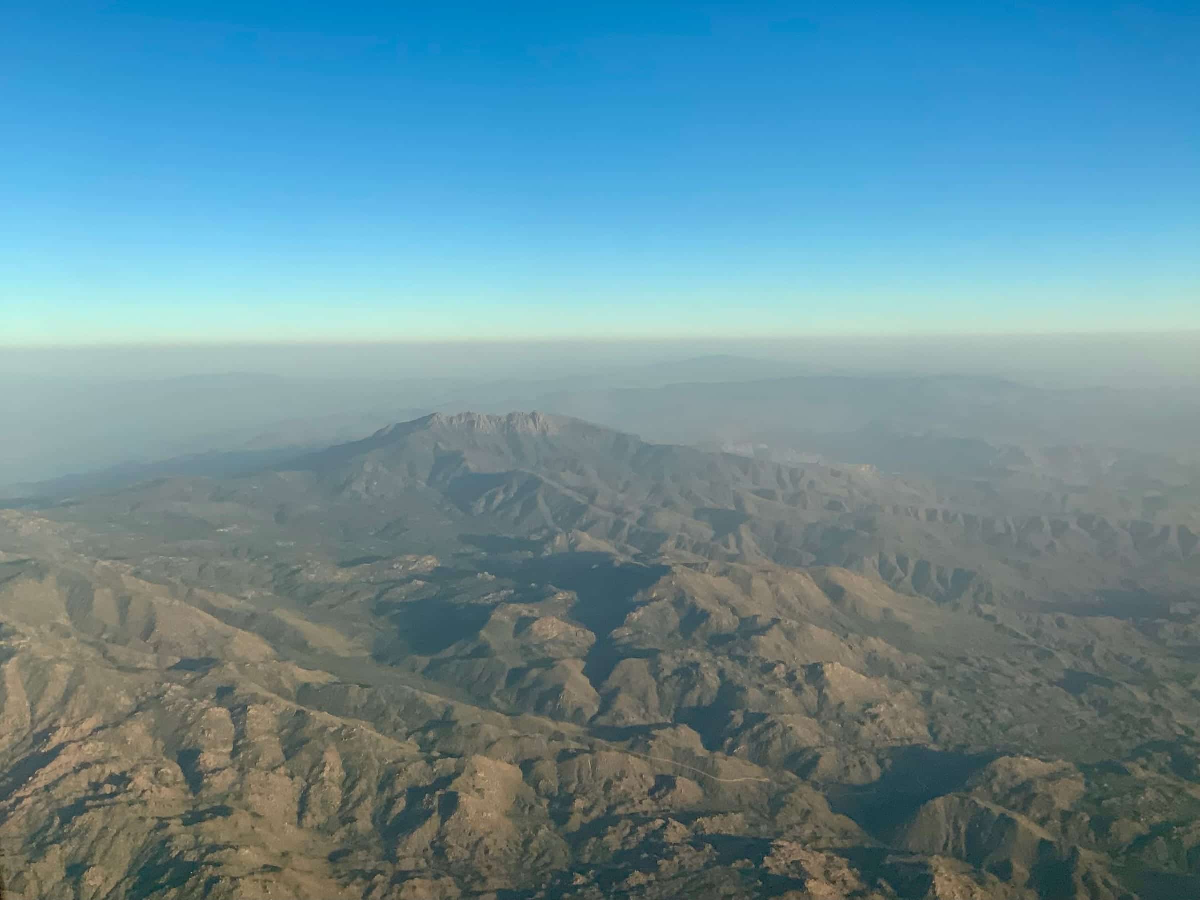
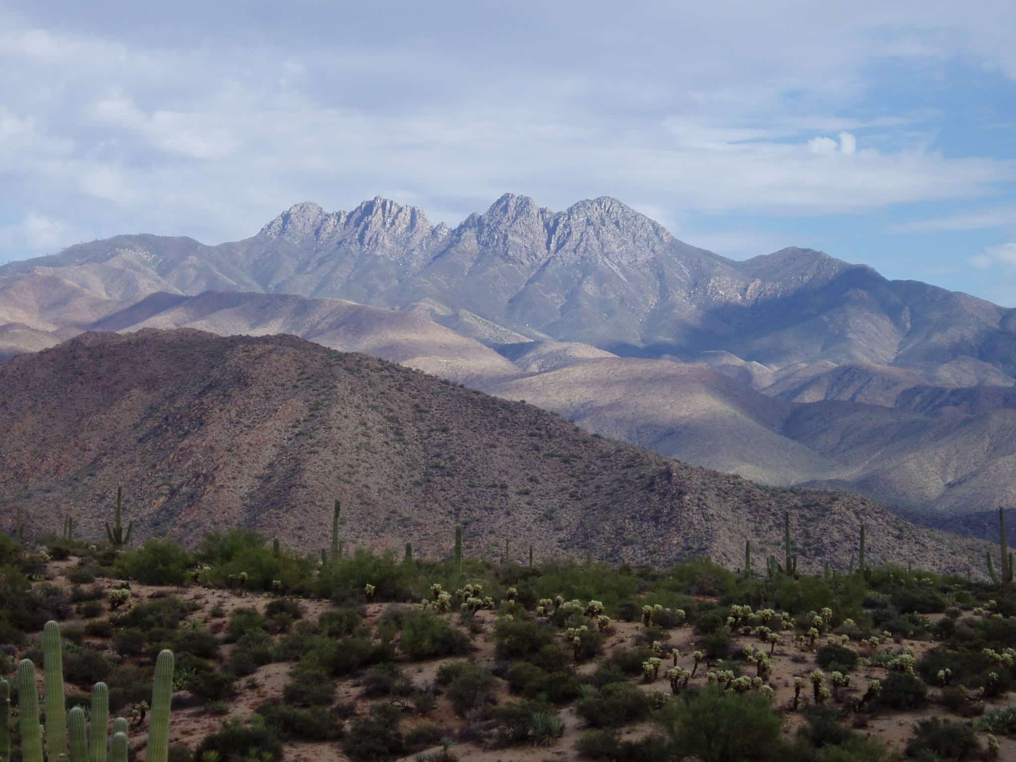
Salt River & Four Peaks