- Distance
- 2.3 mimi
- Climb
- 49 ftft
- Est. time
- about 0 hours 45 minutes
- Difficulty
- Easy
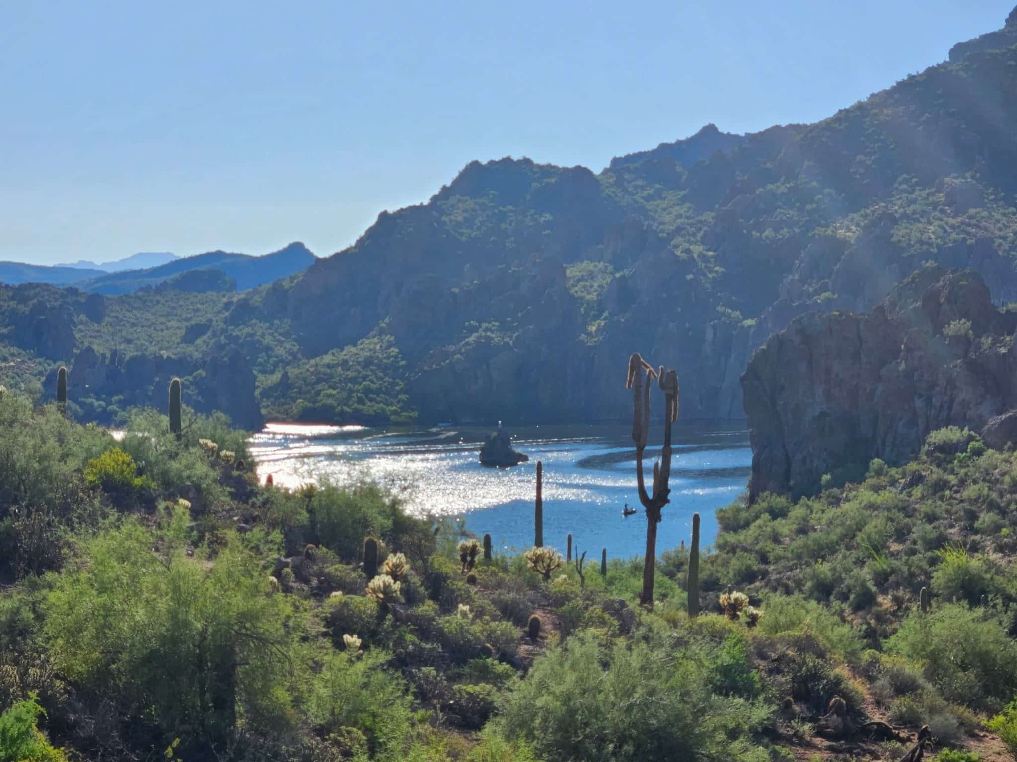
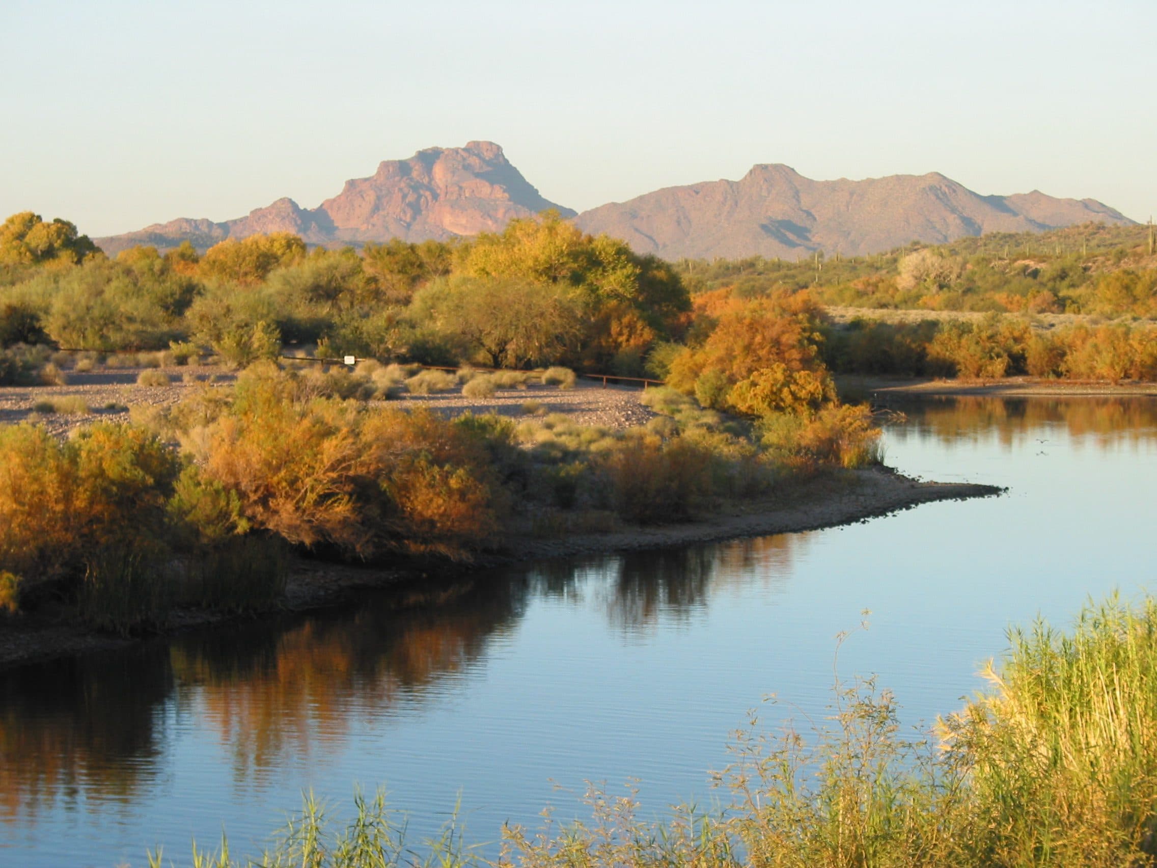
A flat nature trail through the green strip along the Lower Salt River, starting from the Phon D Sutton day-use area.
The nature trail loops through the riparian strip along the Lower Salt River from the Phon D Sutton day-use area, a popular take-out for tubers. The Forest Service calls the area outstanding for birding, and it's flat and short enough for kids. Wild horses live along this stretch of river, though they aren't always near the trail. A Tonto Pass is required, and there's no drinking water.
- Parking
No parking details yet.
Trailhead: Phon D Sutton Day Use Area.
- Fee
Tonto Pass
$8 per vehicle bought in advance from a Forest Service office or retail vendor; $12 at the on-site fee machine.
- Dogs
- Dogs on leash
- Shade
- Not confirmed yet
- Hazards
- Fallen trees and debris in the river can trap swimmers and floaters.
- Best months
October to April, when the average high in Phoenix is under 90°F.
- Sources
4 sources · last verified Sep 24, 2026. Report a change
Where each fact comes from
- Lower Salt River Interpretive Trail — OpenStreetMap checked 2026-09-27
- Phon D Sutton Day Use Area — Tonto National Forest checked 2026-09-24
- Easy loop: 2.3 mi with about 50 ft of gain (our reading of the route stats) checked 2026-09-24
- Best months: normal high under 90°F, Phoenix Sky Harbor 1991–2020 (NOAA NCEI) checked 2026-09-24
Low heat risk · now
72°F now
First light Tomorrow 6:09a · ~45m hike
- Not updating right now: NWS HeatRisk.
As of Today 9:10p · NWS forecast · NWS alerts · NWS HeatRisk · Tonto National Forest
Next 6 days · high / low
- Tomorrow86° / 66°
- Tue88° / 68°
- Wed84° / 70°Rain 67% 6:11a–5:45p
- Thu77° / 64°Rain 82% 6:11a–5:44p
- Fri73° / 60°
- Sat77° / 58°
From the trail
Field notes
Not field-tested yet. This hike is researched from 4 sources, listed above. When Owen hikes it, his notes go here with the route and month.
Nearby
Salt River & Four Peaks