Four Peaks (Browns Peak)
Brown's Trail to Browns Peak · Lone Pine Trailhead (end of Forest Road 648)
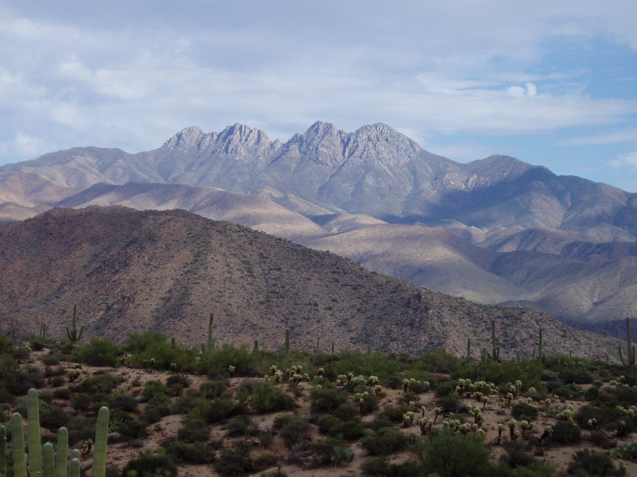
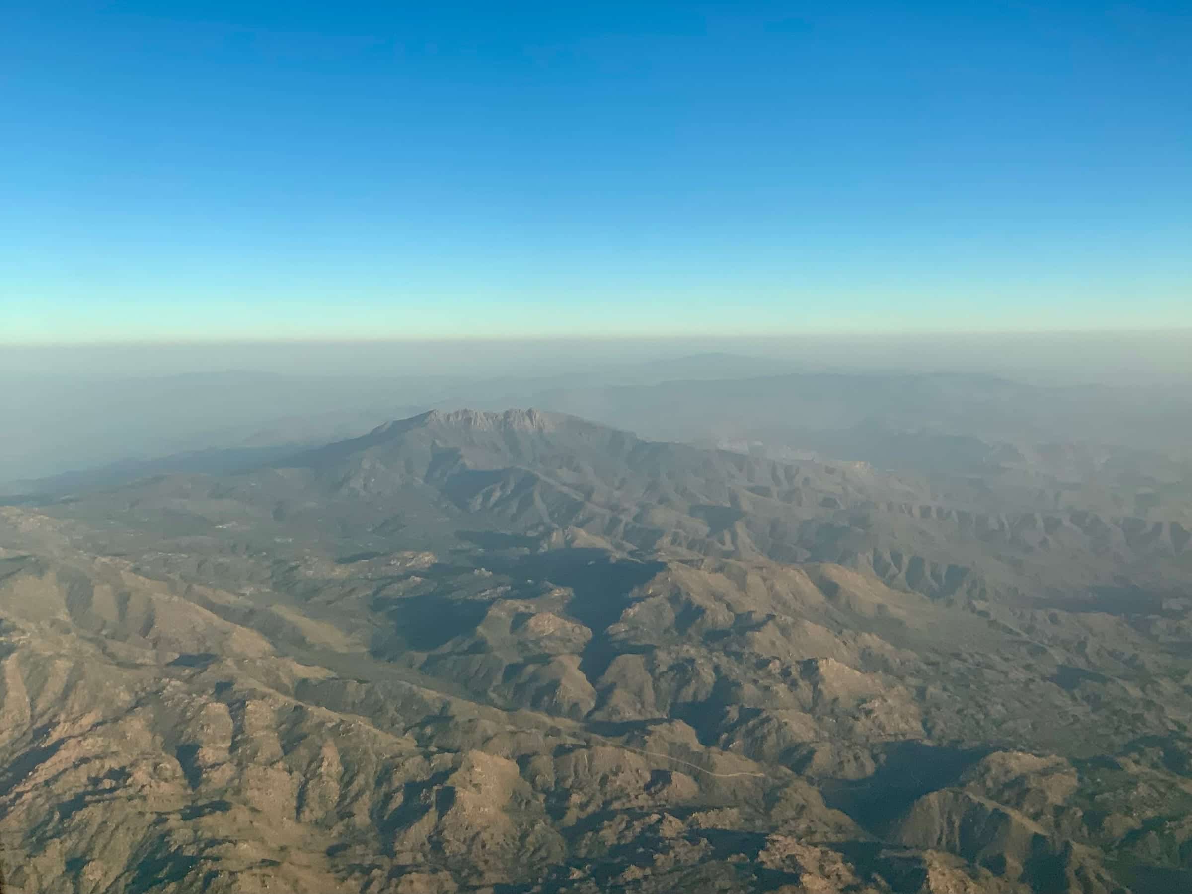
Photo: Jsayre64 · Public domain- Distance
- 5.3 mimi
- Climb
- 1,879 ftft
- Est. time
- about 2 hours 40 minutes
- Difficulty
- Hard
A short mountain trail from Lone Pine Saddle to the top of Browns Peak, the highest of the Four Peaks and of Maricopa County, ending in a steep, loose scramble up a chute.
Browns Peak is the tallest of the Four Peaks, the four-summit ridge on the Valley's eastern skyline, and at about 7,657 feet it's the highest point in Maricopa County. Getting there is half the trip, about 19 miles of rough dirt road from SR 87 to the Lone Pine Trailhead. Brown's Trail climbs through chaparral and scattered pines to a saddle, then the last stretch is a hands-on scramble up a loose scree chute, where rockfall from people above is a real risk. Because it's high, the season is the reverse of the desert. Spring and fall are best, and the chute holds ice and snow in winter.
- Parking
No parking details yet.
Trailhead: Lone Pine Trailhead (end of Forest Road 648).
- Fee
Free
- Dogs
- Dogs on leash
- Shade
- Not confirmed yet
- Hazards
- The summit chute is steep, loose scree and boulders. Watch for rocks knocked down by hikers above.
- Forest Road 143 is about 19 miles of rough dirt; high-clearance 4x4 is recommended, and it's impassable when wet or snowy.
- The chute holds ice and snow from about December into March.
- Dogs can manage the trail but not the summit scramble.
- No water on the route.
- Best months
April to May and September to November, when the average high in Phoenix is under 90°F.
- Trail map
- Brown's Peak Trail on OpenStreetMap
- Sources
7 sources · last verified Oct 2, 2026. Report a change
Photo: Jsayre64 · Public domain
Where each fact comes from
- Brown's Peak Trail — OpenStreetMap checked 2026-10-02
- Four Peaks Trail #130 — Tonto National Forest (Lone Pine TH directions: "high clearance 4x4 recommended") checked 2026-10-02
- Tonto National Forest — FAQs ("Pets are welcome, but must be kept on a leash") checked 2026-10-02
- OpenStreetMap — parking at Lone Pine Saddle, end of Forest Road 648 checked 2026-10-02
- Four Peaks (Browns Peak) — Wilderness Portal (undated) checked 2026-10-02
- Browns Peak Hike: Four Peaks Wilderness — The AZ Hikeaholics (undated) checked 2026-10-02
- Best months: normal high under 90°F, Payson Airport 1991–2020 (NOAA NCEI) checked 2026-10-02
Low heat risk · now
57°F now · high 66°
Sunset 5:46p · ~2h 40m hike
As of Today 9:42a · NWS forecast · NWS alerts · NWS HeatRisk · Tonto National Forest
Next 6 days · high / low · NWS HeatRisk today 0 of 4
- Tomorrow69° / 54°
- Wed64° / 57°Rain 90% 6:10a–5:44p
- Thu57° / 53°Rain 96% 6:10a–5:43p
- Fri56° / 48°
- Sat58° / 45°
- Sun61° / 46°
From the trail
Field notes
Not field-tested yet. This hike is researched from 7 sources, listed above. When Owen hikes it, his notes go here with the route and month.
Same trailhead
Lone Pine Trailhead (end of Forest Road 648)
Nearby
Salt River & Four Peaks