Barnhardt Trail
Barnhardt Trail to the waterfall · Barnhardt Trailhead (end of Forest Road 419)
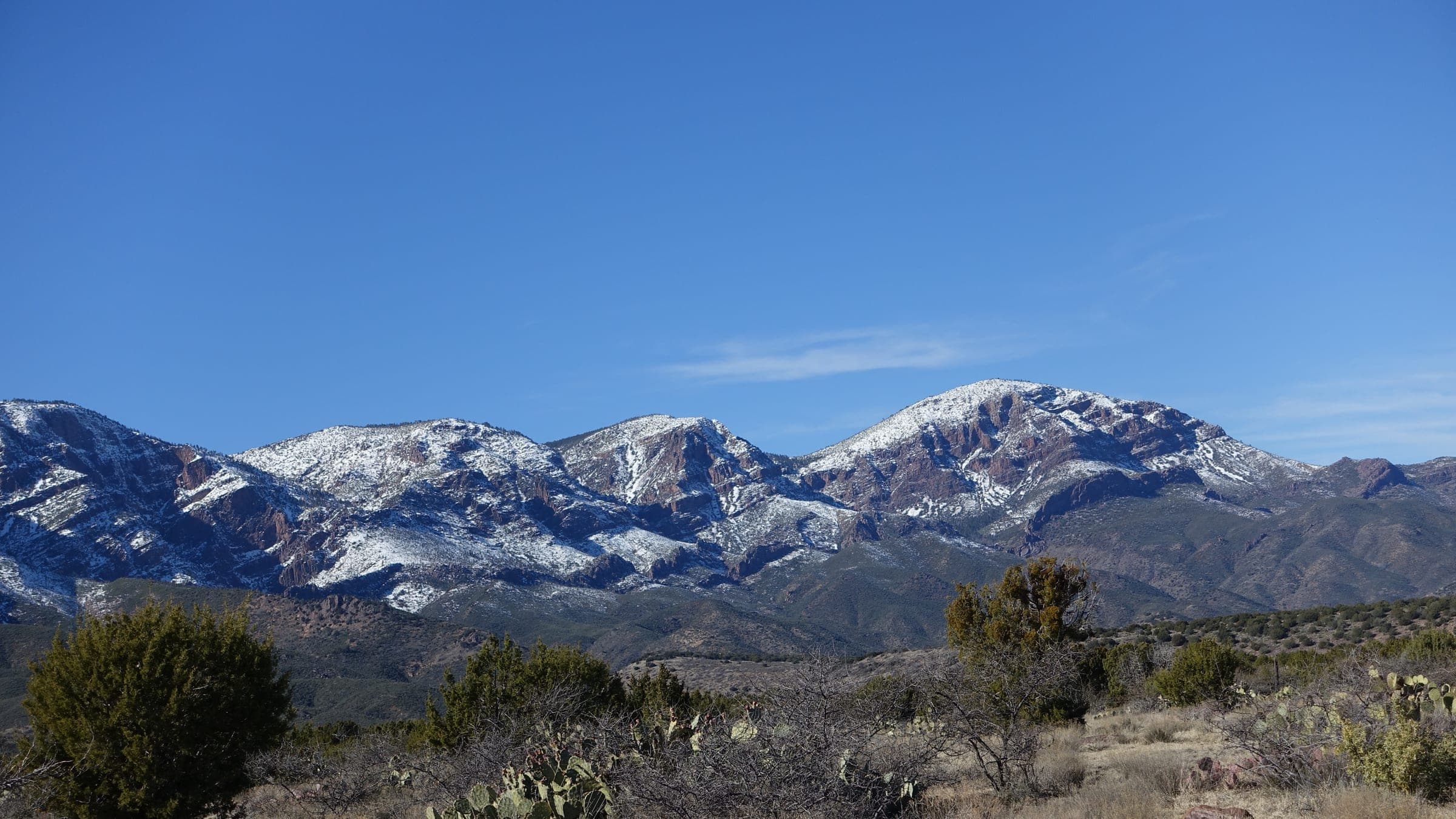
Photo: Matrixupgrade · CC BY-SA 4.0- Distance
- 6.2 mimi
- Climb
- 1,479 ftft
- Est. time
- about 2 hours 50 minutes
- Difficulty
- Moderate
A long, steady climb into the Mazatzal Wilderness south of Payson, past red rock canyon walls to a seasonal waterfall that runs best after rain.
The Barnhardt Trail starts at the end of Forest Road 419, about 5 miles of dirt off SR 87 south of Payson, and is one of the busiest trails in the Mazatzal Wilderness. It climbs on long switchbacks up the side of Barnhardt Canyon, with red rock walls and views back east, to a waterfall in a side canyon. The falls don't run all year, so go after rain, but stay out of the canyon if flash floods are possible. The full trail keeps climbing about 6 miles to the Mazatzal Divide Trail.
- Parking
No parking details yet.
Trailhead: Barnhardt Trailhead (end of Forest Road 419).
- Fee
Free
- Dogs
- Dogs on leash
- Shade
- Not confirmed yet
- Hazards
- Long uphill grades on the way in.
- Avoid the waterfall canyon when there's a flash-flood risk.
- Best months
September to May, when the average high in Phoenix is under 90°F.
- Trail map
- Barnhardt Trail on OpenStreetMap
- Sources
9 sources · last verified Oct 2, 2026. Report a change
Photo: Matrixupgrade · CC BY-SA 4.0
Where each fact comes from
- Barnhardt Trail #43 — OpenStreetMap checked 2026-10-02
- Trails — Tonto National Forest (Barnhardt Trail #43: 5.8 miles, "long uphill grades", "one of the heaviest-used trails in the Mazatzal Wilderness") checked 2026-10-02
- Free: the Tonto trail listing for Barnhardt Trail #43 lists no fee or pass (our reading) checked 2026-10-02
- Tonto National Forest — FAQs ("Pets are welcome, but must be kept on a leash") checked 2026-10-02
- Barnhardt Trailhead — OpenStreetMap checked 2026-10-02
- Barnhardt Waterfall Trail — 10Adventures (updated 2026-08-24) checked 2026-10-02
- Barnhardt Trail — Arizona Highways (undated) checked 2026-10-02
- Barnhardt Hiking Trail — AZ Utopia (undated; "FEES: None") checked 2026-10-02
- Best months: normal high under 90°F, Payson Airport 1991–2020 (NOAA NCEI) checked 2026-10-02
Low heat risk · now
59°F now · high 68°
Sunset 5:46p · ~2h 50m hike
As of Today 9:42a · NWS forecast · NWS alerts · NWS HeatRisk · Tonto National Forest
Next 6 days · high / low · NWS HeatRisk today 0 of 4
- Tomorrow70° / 56°
- Wed66° / 60°Rain 93% 6:10a–5:44p
- Thu60° / 54°Rain 98% 6:11a–5:43p
- Fri58° / 49°
- Sat62° / 47°
- Sun64° / 49°
From the trail
Field notes
Not field-tested yet. This hike is researched from 9 sources, listed above. When Owen hikes it, his notes go here with the route and month.
Nearby
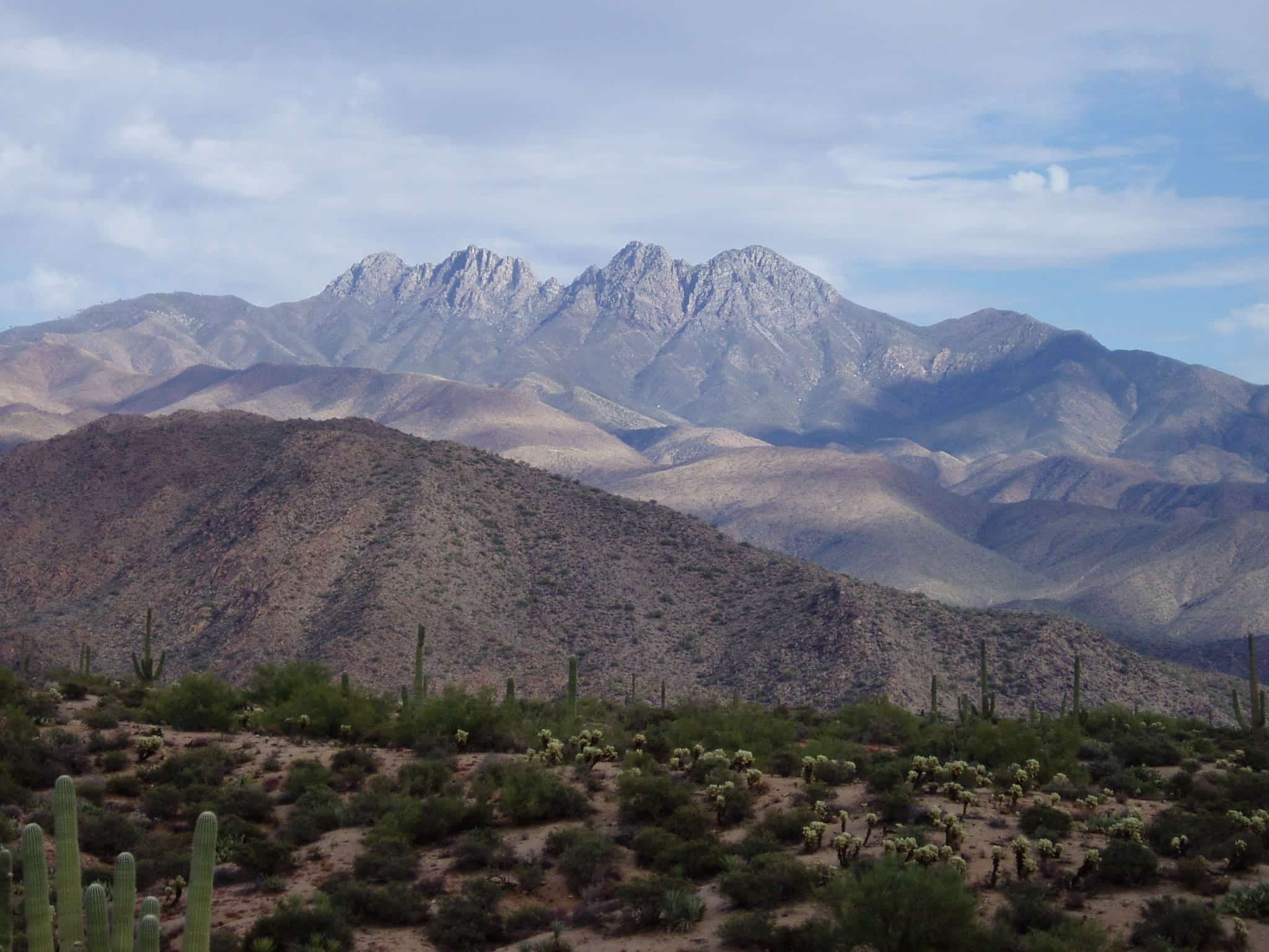
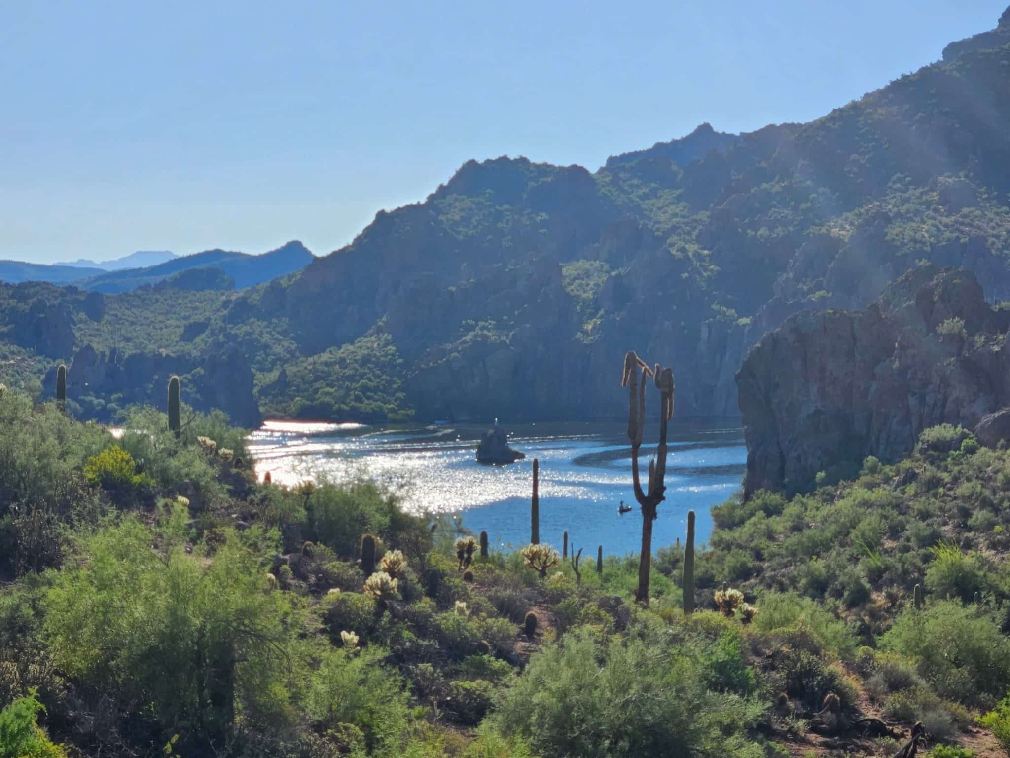
Salt River & Four Peaks