Four Peaks Trail
Four Peaks Trail to the Arizona Trail · Lone Pine Trailhead (end of Forest Road 648)
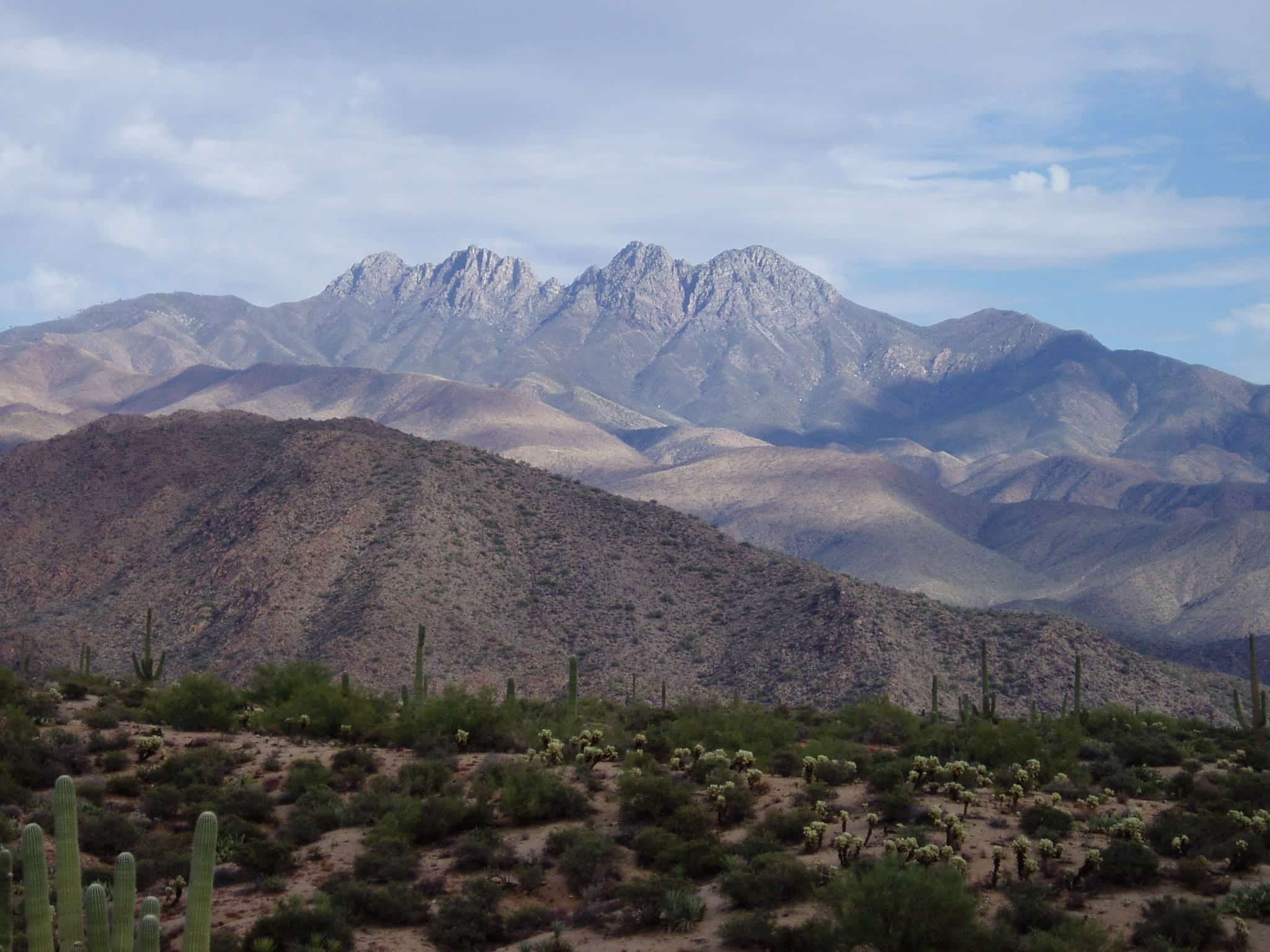
Photo: Richard N Horne · CC BY 4.0- Distance
- 13.0 mimi
- Climb
- 2,224 ftft
- Est. time
- about 5 hours 25 minutes
- Difficulty
- Hard
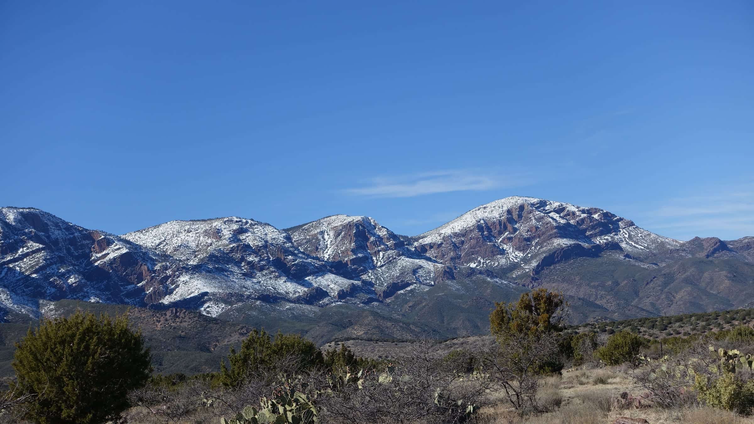
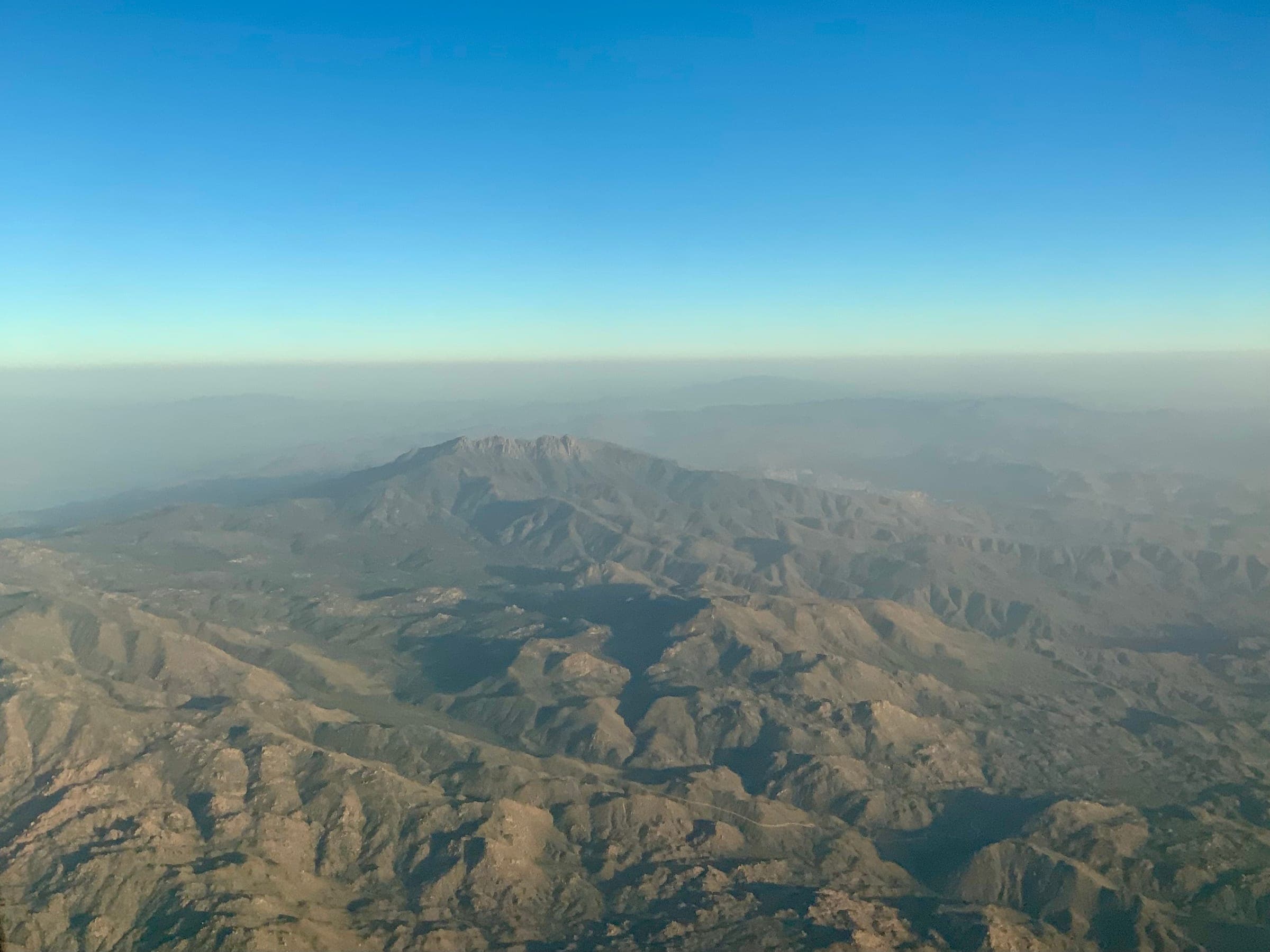
A long out-and-back from Lone Pine Saddle that drops to meet the Arizona Trail below the Four Peaks, with steep ups and downs and views of Roosevelt Lake.
- Parking
No parking details yet.
Trailhead: Lone Pine Trailhead (end of Forest Road 648).
- Fee
Free
- Dogs
- Dogs on leash
- Shade
- Not confirmed yet
- Hazards
- Long ups and downs once the trail joins the Arizona Trail, with some grades over 30%.
- Forest Road 143 is about 19 miles of rough dirt; high-clearance 4x4 is recommended, and it's impassable when wet or snowy.
- Bear country; rattlesnakes and mountain lions live here too.
- Best months
September to May, when the average high in Phoenix is under 90°F.
- Trail map
- None found
- Sources
7 sources · last verified Oct 2, 2026. Report a change
Photo: Richard N Horne · CC BY 4.0
Where each fact comes from
- Four Peaks Trail #130 — Tonto National Forest (Lone Pine TH directions: "high clearance 4x4 recommended") checked 2026-10-02
- Tonto National Forest — FAQs ("Pets are welcome, but must be kept on a leash") checked 2026-10-02
- OpenStreetMap — parking at Lone Pine Saddle, end of Forest Road 648 checked 2026-10-02
- Four Peaks (Browns Peak) — Wilderness Portal (undated) checked 2026-10-02
- Browns Peak Hike: Four Peaks Wilderness — The AZ Hikeaholics (undated) checked 2026-10-02
- Best months: normal high under 90°F, Payson Airport 1991–2020 (NOAA NCEI) checked 2026-10-02
- Four Peaks (Trail checked 2026-10-02
Low heat risk · now
57°F now · high 66°
Sunset 5:46p · ~5h 25m hike
As of Today 9:42a · NWS forecast · NWS alerts · NWS HeatRisk · Tonto National Forest
Next 6 days · high / low · NWS HeatRisk today 0 of 4
- Tomorrow69° / 54°
- Wed64° / 57°Rain 90% 6:10a–5:44p
- Thu57° / 53°Rain 96% 6:10a–5:43p
- Fri56° / 48°
- Sat58° / 45°
- Sun61° / 46°
From the trail
Field notes
Not field-tested yet. This hike is researched from 7 sources, listed above. When Owen hikes it, his notes go here with the route and month.
Same trailhead
Lone Pine Trailhead (end of Forest Road 648)
Nearby
Salt River & Four Peaks