Tom's Thumb
Tom's Thumb Trail · Tom's Thumb Trailhead (23015 N. 128th St.)
Photo: HTBFTBO · CC BY-SA 4.0- Distance
- 4.4 mimi
- Climb
- 1,236 ftft
- Est. time
- about 2 hours 5 minutes
- Difficulty
- Moderate
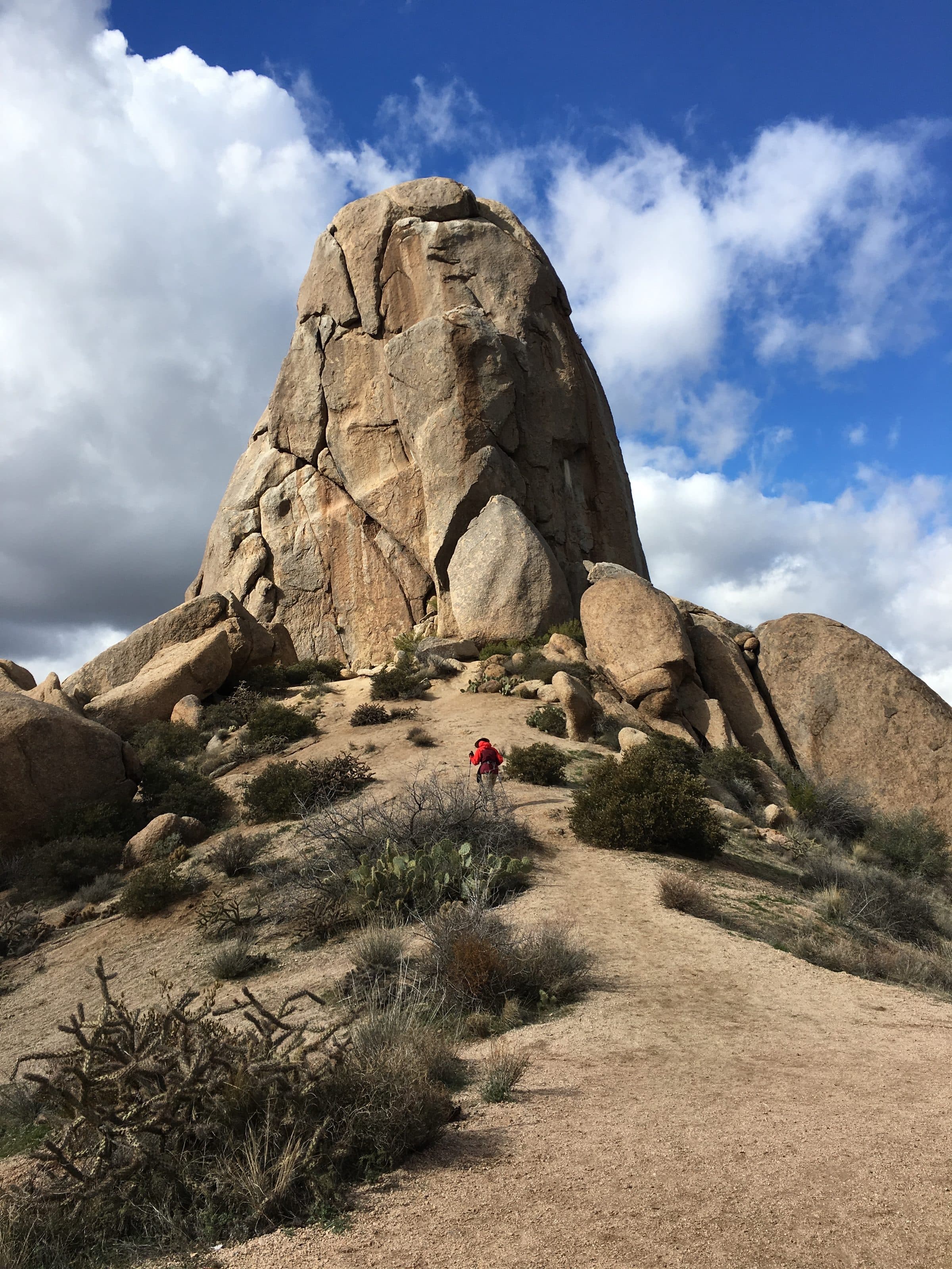
A steep, switchbacking climb in the northern McDowell Mountains to the base of Tom's Thumb, a rock tower with views over north Scottsdale.
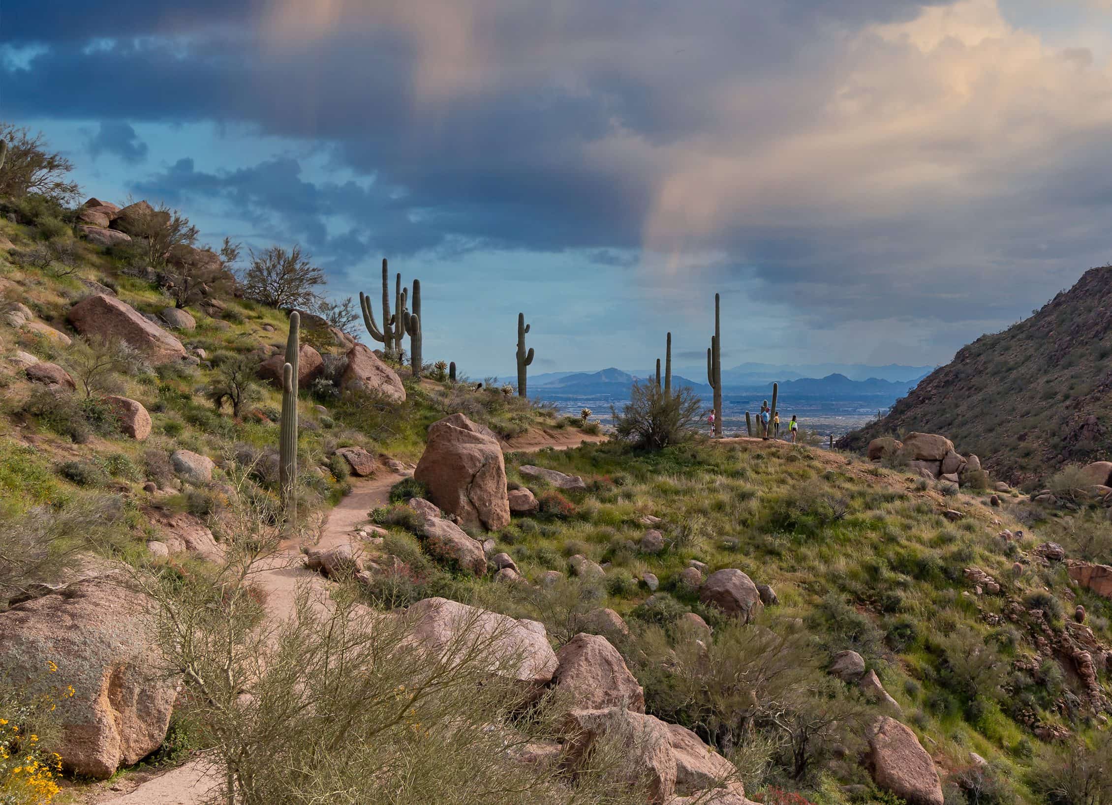
Tom's Thumb is a granite tower on a ridge of the northern McDowell Mountains, and it's hard to miss: it looks like a thumb sticking straight up. The trail climbs about 1,200 feet in 2.2 miles, mostly on switchbacks, passing a couple of lookouts on the way. Near the top it levels out at the base of the Thumb, with views over the McDowell Sonoran Preserve and out across the Valley. Climbers use routes up the tower itself; the hiking trail stops at its base. It's busy on weekends; midweek is quieter.
- Parking
A trailhead lot for cars and horse trailers, with shade ramadas.
Trailhead: Tom's Thumb Trailhead (23015 N. 128th St.).
- Fee
Free
- Dogs
- Dogs on leash
- Shade
- Minimal
- Hazards
- No specific hazards recorded beyond desert heat.
- Best months
October to April, when the average high in Phoenix is under 90°F.
- Sources
5 sources · last verified Sep 24, 2026. Report a change
Photo: HTBFTBO · CC BY-SA 4.0
Where each fact comes from
- McDowell Sonoran Preserve south area trail map — City of Scottsdale (PDF) checked 2026-09-27
- McDowell Sonoran Preserve — City of Scottsdale checked 2026-09-24
- Tom's Thumb Trailhead — OpenStreetMap checked 2026-09-24
- Tom's Thumb Trail — 10Adventures (updated 2026-09-01) checked 2026-09-24
- Best months: normal high under 90°F, Phoenix Sky Harbor 1991–2020 (NOAA NCEI) checked 2026-09-24
Low heat risk · now
67°F now · high 78°
Sunset 5:48p · ~2h 05m hike
As of Today 9:28a · NWS forecast · NWS alerts · NWS HeatRisk
Next 6 days · high / low · NWS HeatRisk today 1 of 4
- Tomorrow81° / 62°
- Wed75° / 65°Rain 85% 6:11a–5:46p
- Thu68° / 59°Rain 87% 6:12a–5p
- Fri67° / 55°
- Sat69° / 52°
- Sun72° / 53°
From the trail
Field notes
Owen · Tom's Thumb Trail · May 2024
This was one of the first hikes I did in Arizona, and it made a great first impression. The climb is steady but it was cool to have a goal of seeing the "thumb" at the end. Overall, it was a great hike on a well maintained trail. I even was given a Tom's Thumb sticker from a volunteer.
Nearby
North Scottsdale & Cave Creek