Pinnacle Peak
Pinnacle Peak Trail · Pinnacle Peak Park (26802 N. 102nd Way)
Photo: Ray Redstone · CC BY-SA 4.0- Distance
- 3.9 mimi
- Climb
- 1,007 ftft
- Est. time
- about 1 hours 50 minutes
- Difficulty
- Moderate
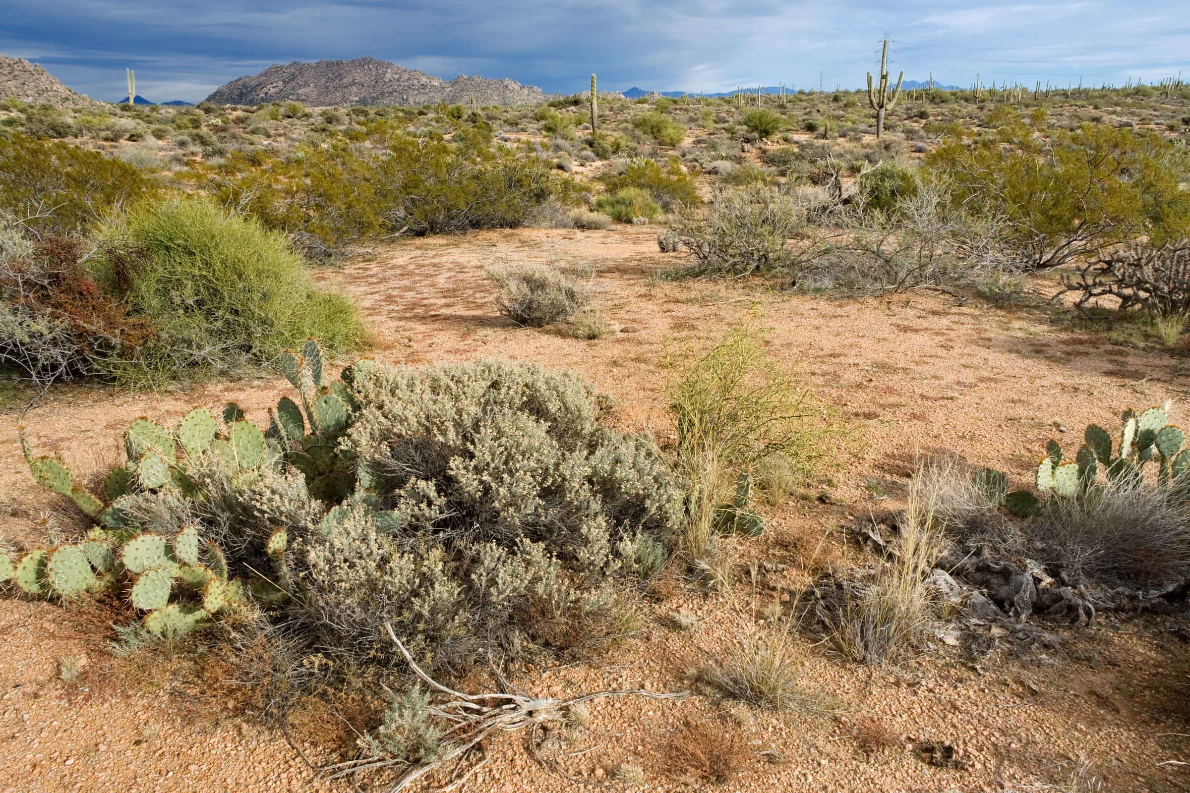
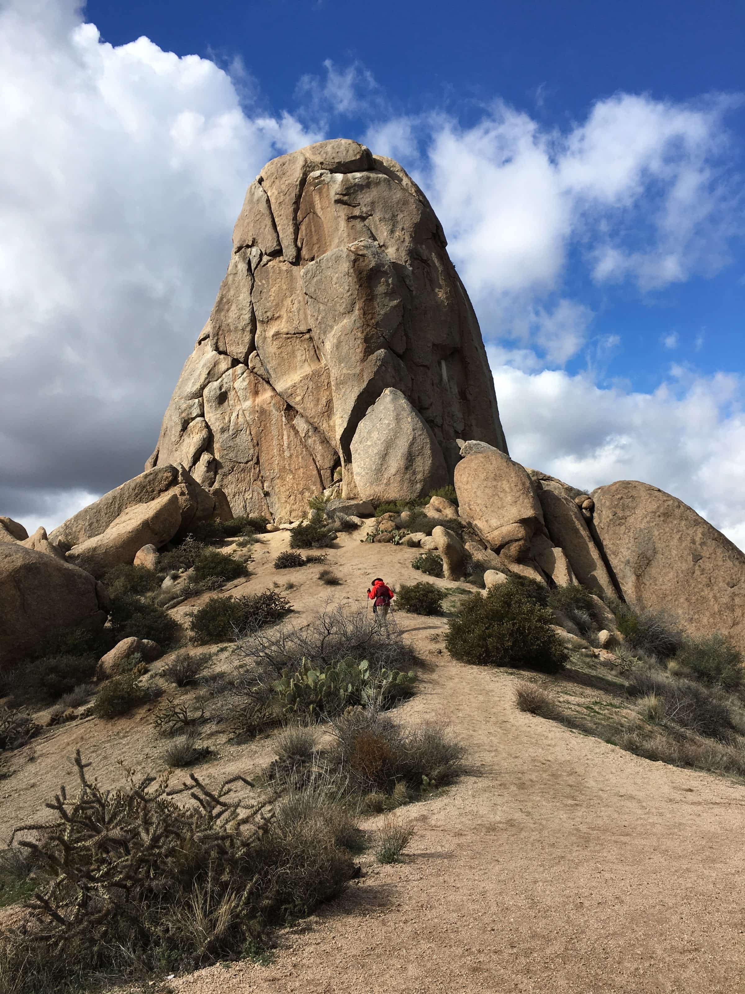
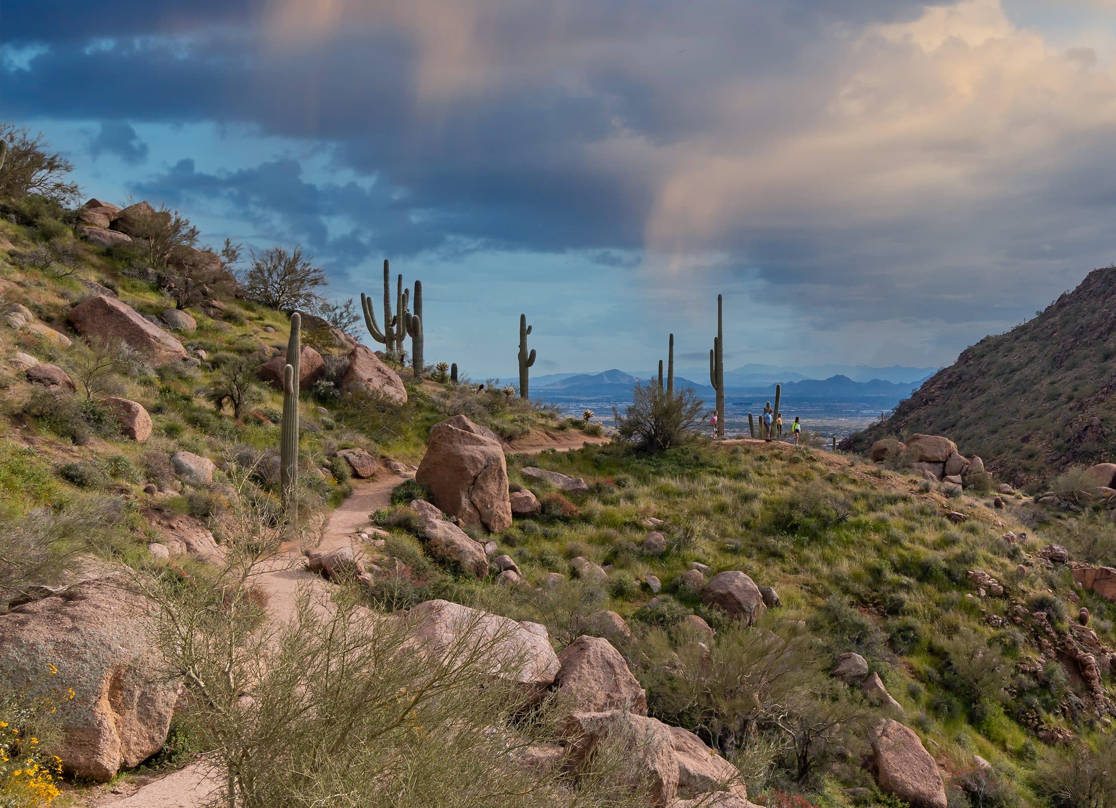
An out-and-back trail along the flank of Pinnacle Peak in north Scottsdale, rolling up and down past granite boulders to an overlook; rock climbers use the cliffs above.
Pinnacle Peak is a 150-acre City of Scottsdale park, and the trail doesn't go to the summit. It runs along the peak's flank, rolling up and down past eroded rock towers, saguaros and cholla, and you turn around at the far end. Climbers use three areas of the park. Dogs and bikes aren't allowed on the trail, and it's busy, so midweek or early is best.
- Parking
No parking details yet.
Trailhead: Pinnacle Peak Park (26802 N. 102nd Way).
- Fee
Free
- Dogs
- No dogs
- Shade
- Minimal
- Hazards
- No specific hazards recorded beyond desert heat.
- Best months
October to April, when the average high in Phoenix is under 90°F.
- Sources
6 sources · last verified Sep 24, 2026. Report a change
Photo: Ray Redstone · CC BY-SA 4.0
Where each fact comes from
- Pinnacle Peak Park trail map — City of Scottsdale (PDF) checked 2026-09-27
- Pinnacle Peak Park — City of Scottsdale checked 2026-09-24
- Free: the City lists hours, rules and trail facts for Pinnacle Peak Park but no fee checked 2026-09-24
- Pinnacle Peak Trail — 10Adventures (updated 2026-09-01) checked 2026-09-24
- OpenStreetMap — Pinnacle Peak Park trailhead node (tagged "Pinacle Peak Trail") checked 2026-09-24
- Best months: normal high under 90°F, Phoenix Sky Harbor 1991–2020 (NOAA NCEI) checked 2026-09-24
Low heat risk · now
68°F now
First light Tomorrow 6:10a · ~1h 50m hike
- Not updating right now: NWS HeatRisk.
As of Today 9:09p · NWS forecast · NWS alerts · NWS HeatRisk
Next 6 days · high / low
- Tomorrow81° / 63°
- Tue83° / 65°
- Wed78° / 68°Rain 67% 6:12a–5:46p
- Thu72° / 61°Rain 84% 6:12a–5:45p
- Fri68° / 58°
- Sat73° / 56°
From the trail
Field notes
Not field-tested yet. This hike is researched from 6 sources, listed above. When Owen hikes it, his notes go here with the route and month.
Nearby
North Scottsdale & Cave Creek