Granite Mountain Loop
Granite Mountain Loop · Granite Mountain Trailhead (31402 N. 136th St.)
- Distance
- 5.6 mimi
- Climb
- 393 ftft
- Est. time
- about 2 hours 5 minutes
- Difficulty
- Easy
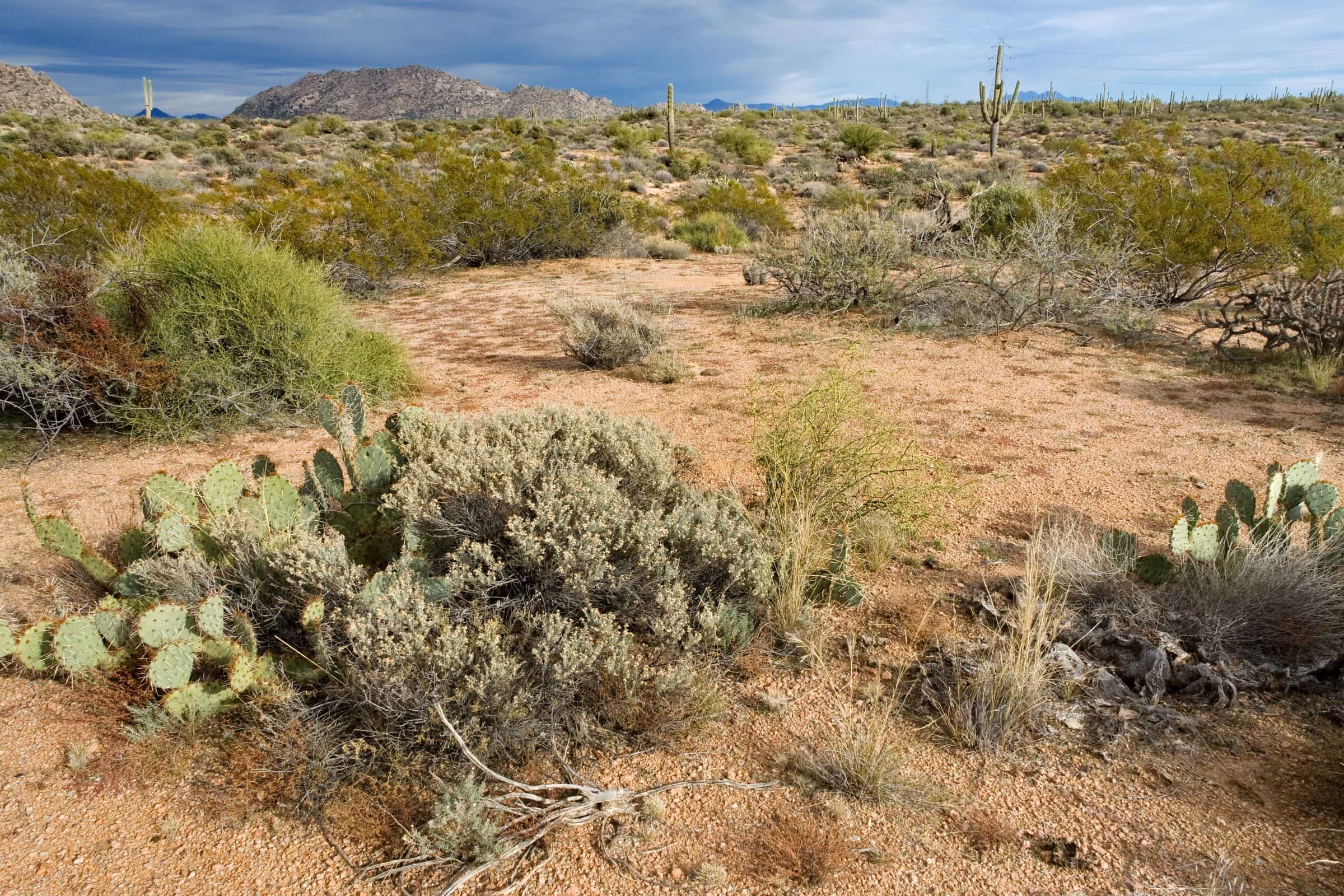
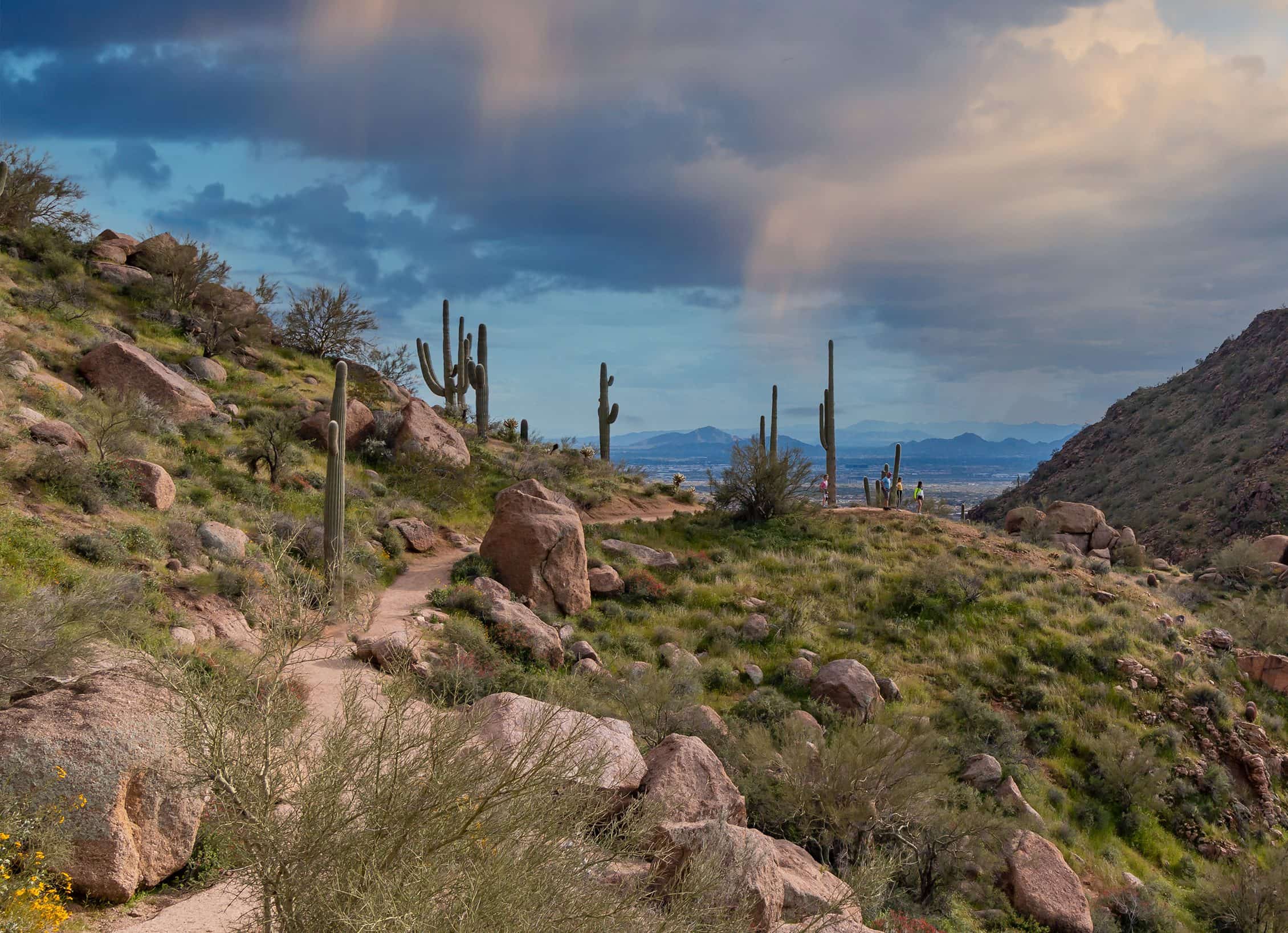
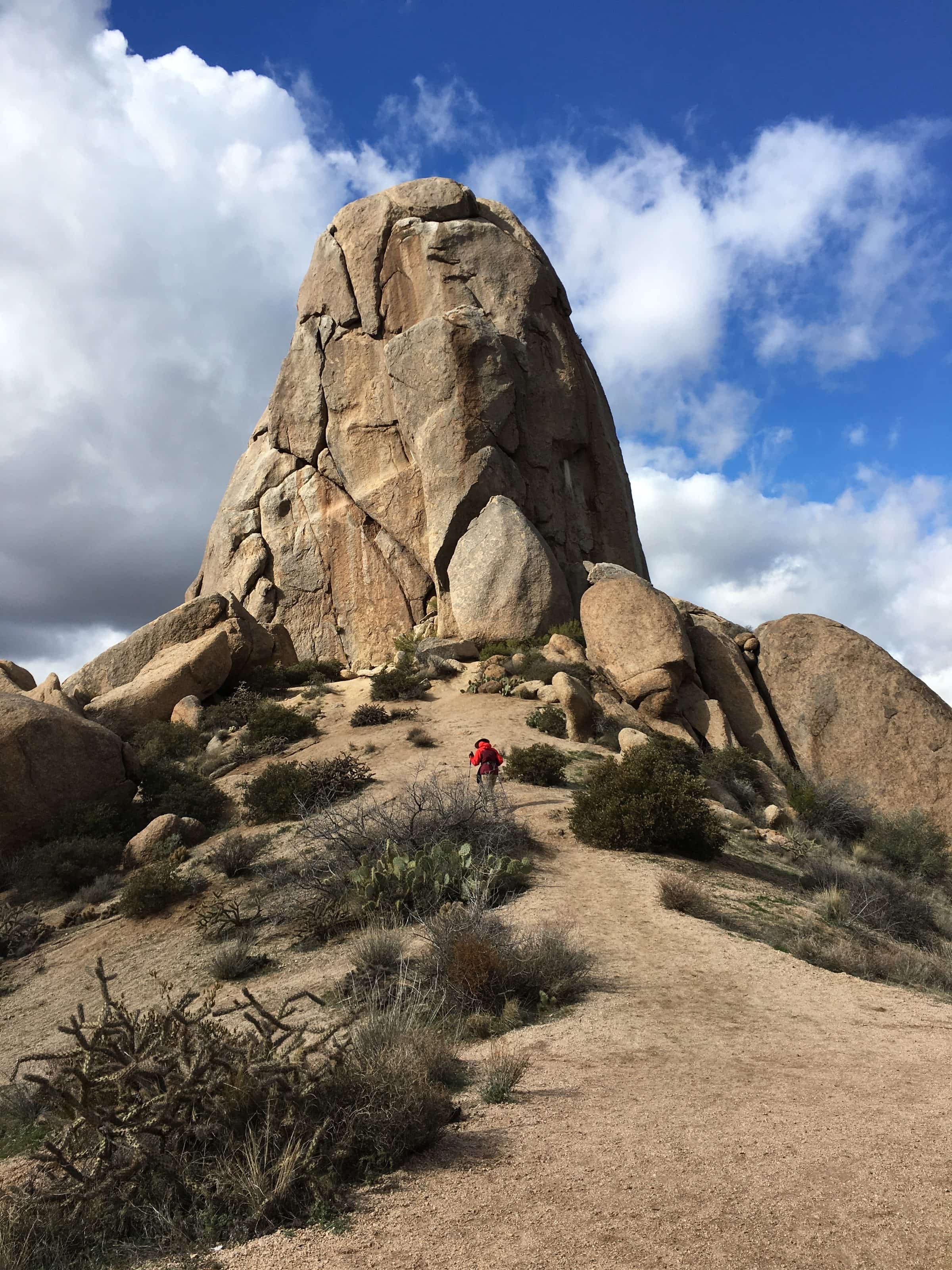
A mostly flat loop around Granite Mountain in the northern McDowell Sonoran Preserve, from a trailhead with restrooms but no drinking water.
The loop circles Granite Mountain on mostly flat ground, so it's a long walk rather than a climb, with views of the mountain from every side and the desert around it. It's popular and gets heavy traffic. The Granite Mountain Trailhead has restrooms and a shade ramada but no drinking water, so bring all you'll need.
- Parking
Car and horse-trailer parking, restrooms and a shade ramada; no drinking water.
Trailhead: Granite Mountain Trailhead (31402 N. 136th St.).
- Fee
Free
- Dogs
- Dogs on leash
- Shade
- Not confirmed yet
- Hazards
- No drinking water at the trailhead or on the loop.
- Best months
October to April, when the average high in Phoenix is under 90°F.
- Sources
4 sources · last verified Oct 16, 2026. Report a change
Where each fact comes from
- McDowell Sonoran Preserve north area trail map — City of Scottsdale (PDF) checked 2026-10-16
- McDowell Sonoran Preserve — City of Scottsdale checked 2026-10-16
- Granite Mountain Loop — 10Adventures checked 2026-10-16
- Best months: normal high under 90°F, Phoenix Sky Harbor 1991–2020 (NOAA NCEI) checked 2026-10-16
Low heat risk · now
65°F now
First light Tomorrow 6:10a · ~2h 05m hike
- Not updating right now: NWS HeatRisk.
As of Today 9:09p · NWS forecast · NWS alerts · NWS HeatRisk
Next 6 days · high / low
- Tomorrow79° / 61°
- Tue81° / 63°
- Wed76° / 64°Rain 76% 6:11a–5:46p
- Thu69° / 59°Rain 87% 6:12a–5:45p
- Fri66° / 56°
- Sat71° / 54°
From the trail
Field notes
Not field-tested yet. This hike is researched from 4 sources, listed above. When Owen hikes it, his notes go here with the route and month.
Nearby
North Scottsdale & Cave Creek