Brown's Ranch
Brown's Ranch Short Loop · Brown's Ranch Trailhead (30301 N. Alma School Pkwy.)
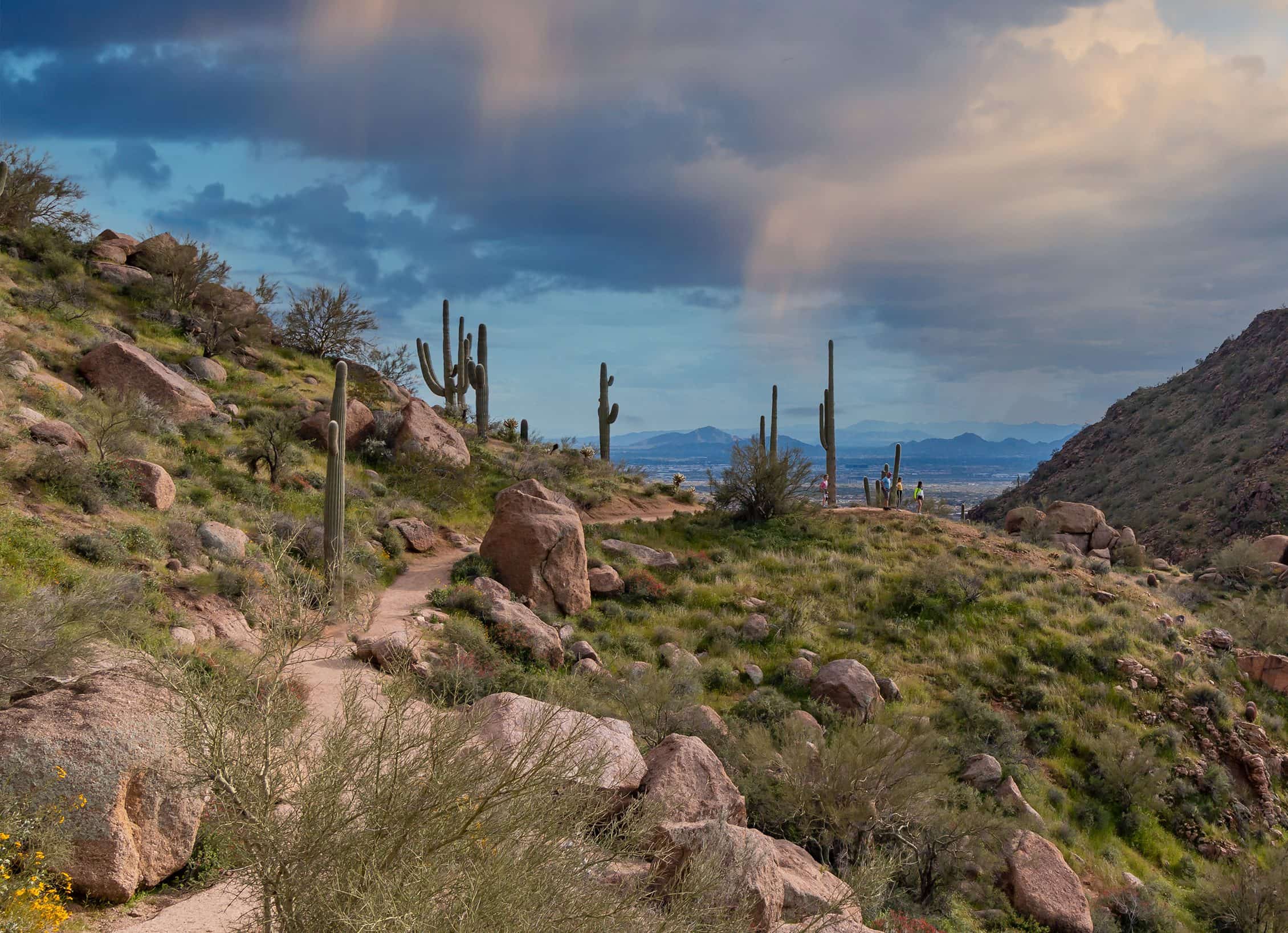
Photo: Patrick Alexander · CC0- Distance
- 2.2 mimi
- Climb
- 108 ftft
- Est. time
- about 0 hours 45 minutes
- Difficulty
- Easy
A near-flat loop from Brown's Ranch Trailhead, an easy way into the northern McDowell Sonoran Preserve.
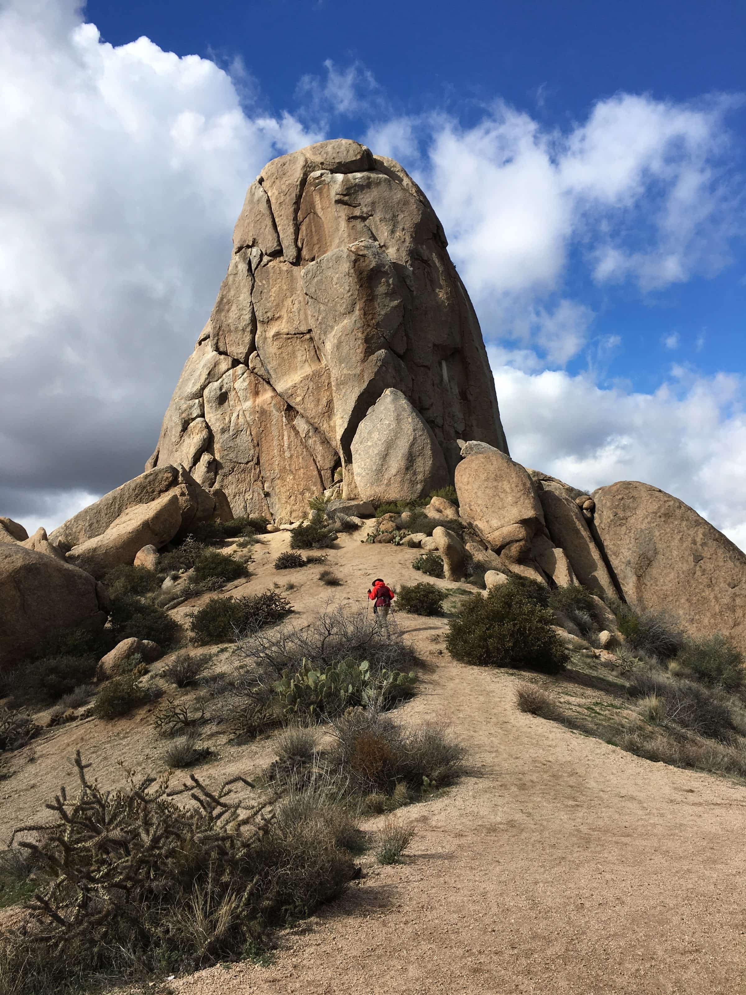
Most of the McDowell Sonoran Preserve was once the Brown family's cattle ranch. This short, nearly flat loop starts from the trailhead named for it, which also leads to Brown's Mountain, Balanced Rock and Cathedral Rock.
- Parking
No parking details yet.
Trailhead: Brown's Ranch Trailhead (30301 N. Alma School Pkwy.).
- Fee
Free
- Dogs
- Dogs on leash
- Shade
- Not confirmed yet
- Hazards
- No specific hazards recorded beyond desert heat.
- Best months
October to April, when the average high in Phoenix is under 90°F.
- Sources
5 sources · last verified Sep 24, 2026. Report a change
Photo: Patrick Alexander · CC0
Where each fact comes from
- McDowell Sonoran Preserve north area trail map — City of Scottsdale (PDF) checked 2026-09-27
- McDowell Sonoran Preserve — City of Scottsdale checked 2026-09-24
- Easy loop: 2.2 mi with about 100 ft of gain (our reading of the route stats) checked 2026-09-24
- Best months: normal high under 90°F, Phoenix Sky Harbor 1991–2020 (NOAA NCEI) checked 2026-09-24
- Our history — McDowell Sonoran Conservancy checked 2026-10-02
Closure: Brown's Ranch Trailhead and its lot are closed for upgrades, with no street parking nearby. The City suggests the Pima Dynamite, Fraesfield, Granite Mountain or Tom's Thumb trailheads.
Low heat risk · now
69°F now · high 79°
Sunset 5:48p · ~45m hike
As of Today 9:12a · NWS forecast · NWS alerts · NWS HeatRisk
Next 6 days · high / low · NWS HeatRisk today 1 of 4
- Tomorrow82° / 62°
- Wed76° / 65°Rain 87% 6:12a–5:46p
- Thu69° / 59°Rain 88% 6:12a–5p
- Fri68° / 55°
- Sat70° / 52°
- Sun73° / 54°
From the trail
Field notes
Not field-tested yet. This hike is researched from 5 sources, listed above. When Owen hikes it, his notes go here with the route and month.
Nearby
North Scottsdale & Cave Creek