Pipeline Canyon
Pipeline Canyon Trail · Cottonwood Day Use Area (north end of the trail), Lake Pleasant Regional Park
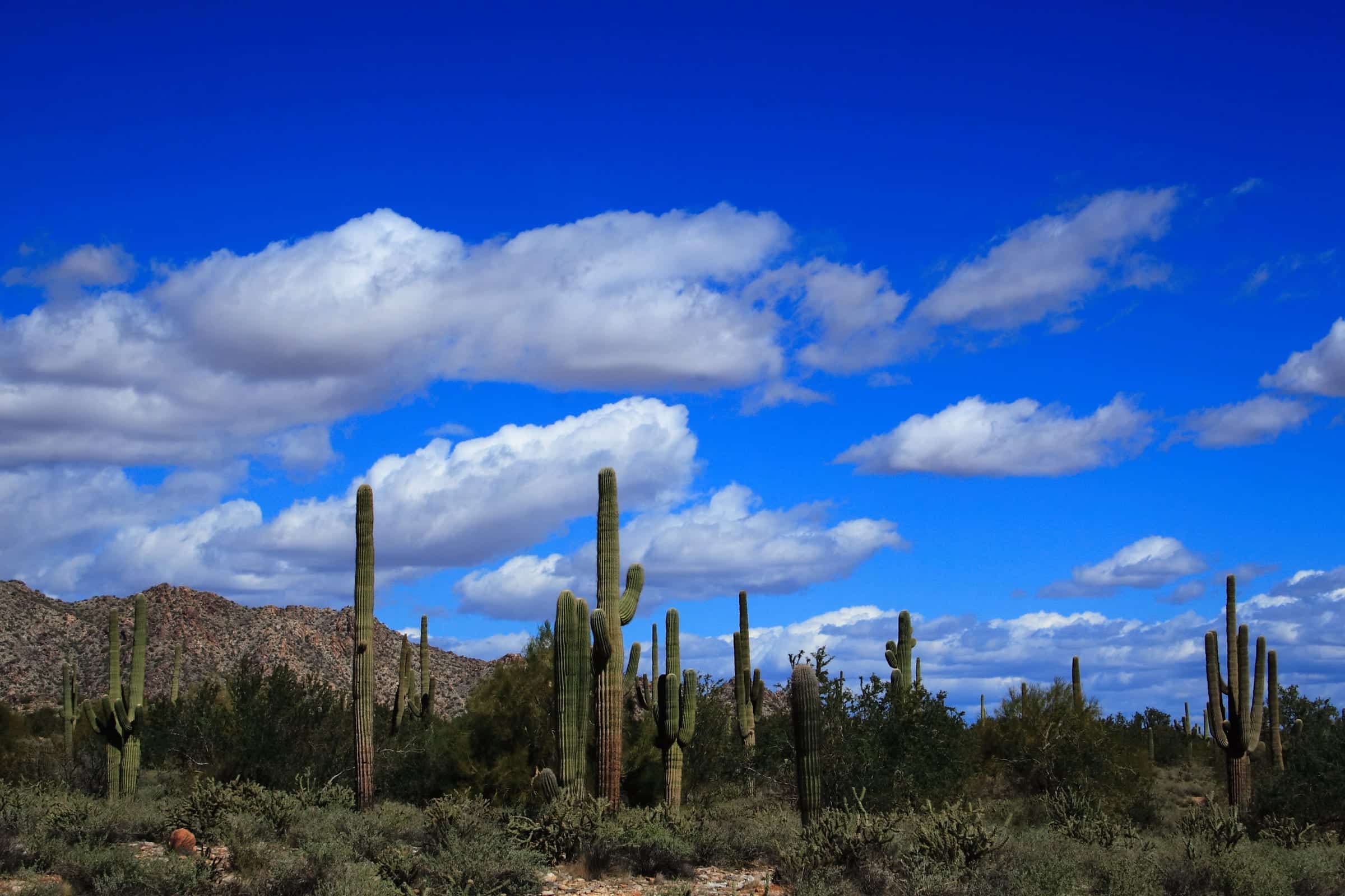
Photo: John Menard · CC BY-SA 2.0- Distance
- 4.0 mimi
- Climb
- 528 ftft
- Est. time
- about 1 hours 35 minutes
- Difficulty
- Moderate
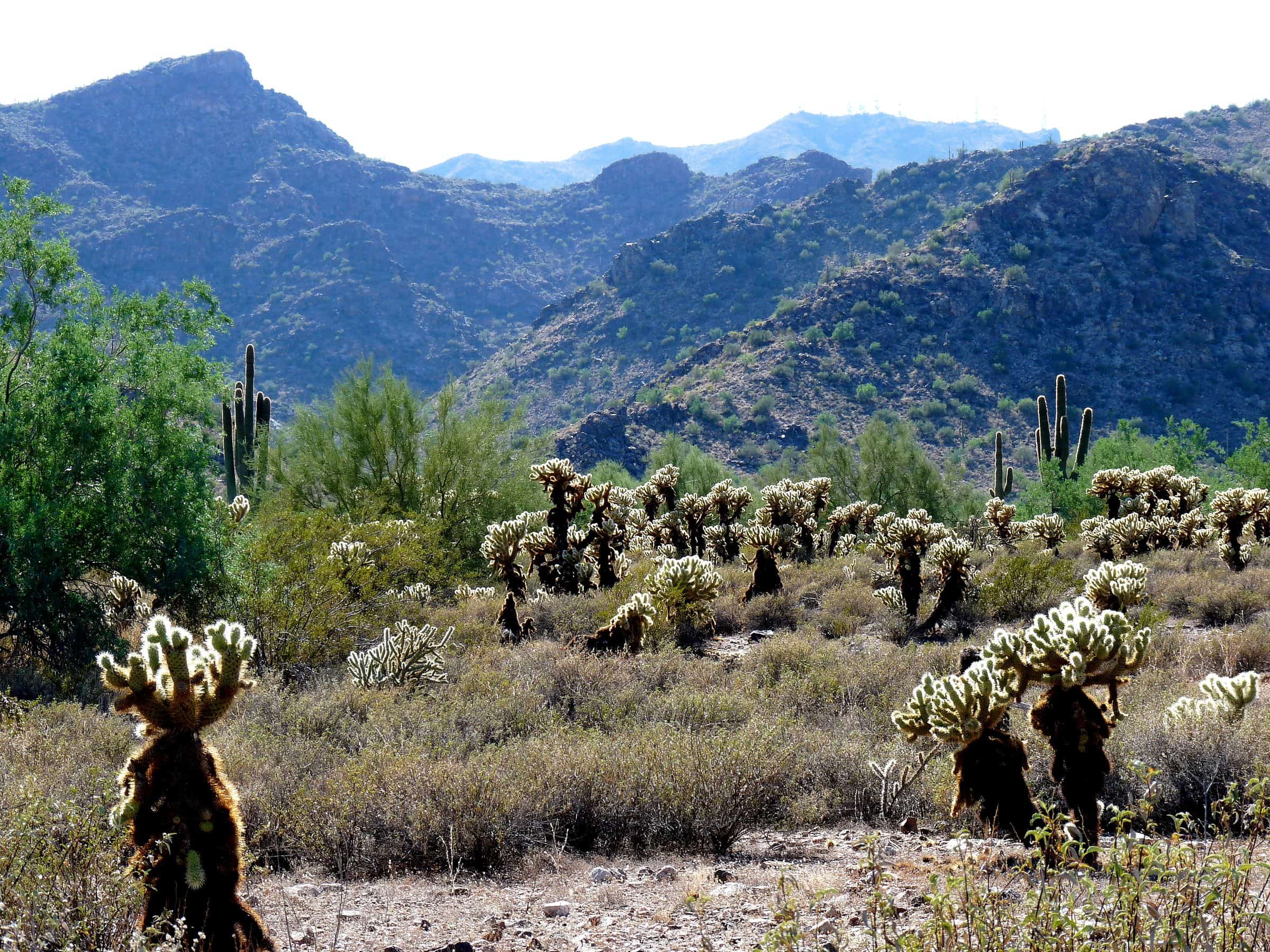
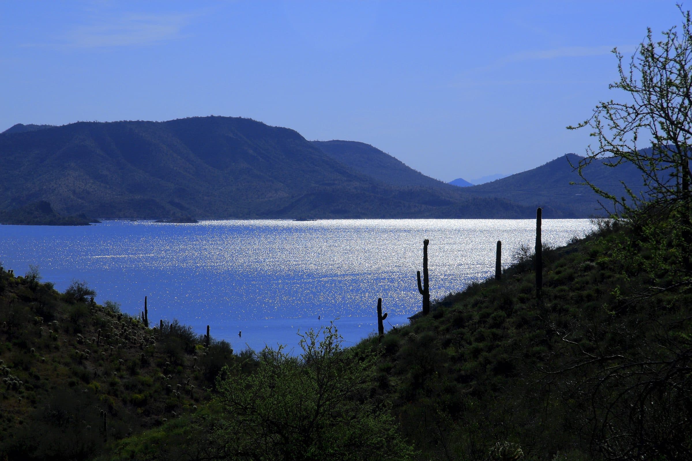
A desert trail beside Lake Pleasant that crosses a cove on a floating bridge when the lake level allows.
Lake Pleasant is a reservoir on the Central Arizona Project, which pumps water in through fall and winter and releases it through spring and summer, so the lake runs lowest in the fall. The trail crosses a cove on a floating bridge, and the bridge can be out when the water is low, so check with the park before counting on the full route. The rest is open desert hills with views of the lake.
- Parking
No parking details yet.
Trailhead: Cottonwood Day Use Area (north end of the trail), Lake Pleasant Regional Park.
- Fee
$10/vehicle
$5 per person walking, biking or riding in
- Dogs
- Dogs on leash
- Shade
- Not confirmed yet
- Hazards
- No specific hazards recorded beyond desert heat.
- Best months
October to April, when the average high in Phoenix is under 90°F.
- Sources
9 sources · last verified Sep 24, 2026. Report a change
Photo: John Menard · CC BY-SA 2.0
Where each fact comes from
- Lake Pleasant Regional Park trails map — Maricopa County Parks (PDF) checked 2026-09-27
- Trails — Lake Pleasant Regional Park, Maricopa County Parks checked 2026-09-24
- Park Fees — Maricopa County Parks and Recreation checked 2026-09-24
- Park Rules — Maricopa County Parks checked 2026-09-24
- OpenStreetMap — parking lot at the north end of the Pipeline Canyon Trail, Cottonwood Day Use Area checked 2026-09-24
- Best months: normal high under 90°F, Phoenix Sky Harbor 1991–2020 (NOAA NCEI) checked 2026-09-24
- Lake Pleasant — Maricopa County Parks checked 2026-10-02
- Pipeline Canyon Trail and its floating bridge — AZUtopia checked 2026-10-07
- Lake Pleasant water operations — Central Arizona Project checked 2026-10-07
Low heat risk · now
71°F now
First light Tomorrow 6:12a · ~1h 35m hike
- Not updating right now: NWS HeatRisk.
As of Today 9:10p · NWS forecast · NWS alerts · NWS HeatRisk
Next 6 days · high / low
- Tomorrow84° / 66°
- Tue86° / 68°
- Wed82° / 70°Rain 72% 6:14a–5:48p
- Thu75° / 64°Rain 77% 6:14a–5:47p
- Fri72° / 60°
- Sat75° / 59°
From the trail
Field notes
Not field-tested yet. This hike is researched from 9 sources, listed above. When Owen hikes it, his notes go here with the route and month.
Nearby
West Valley