Dixie Mountain Loop
Dixie Mountain Loop via Hawks Nest Trail · Desert Vista Trailhead (1900 W. Desert Vista Tr.)
- Distance
- 5.2 mimi
- Climb
- 964 ftft
- Est. time
- about 2 hours 15 minutes
- Difficulty
- Moderate
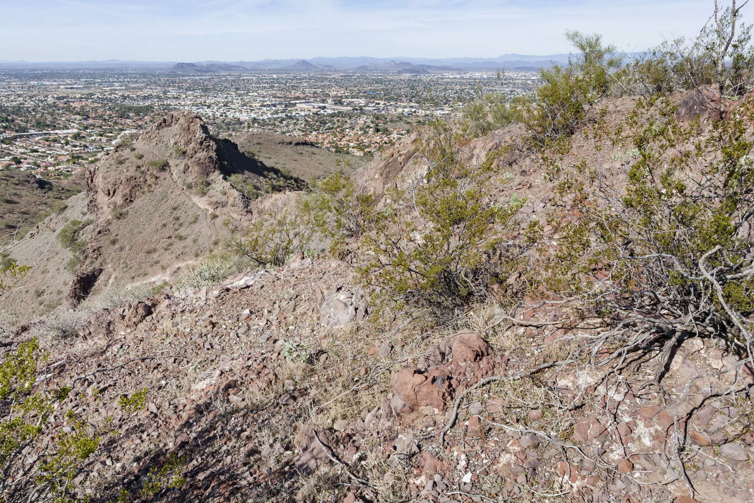
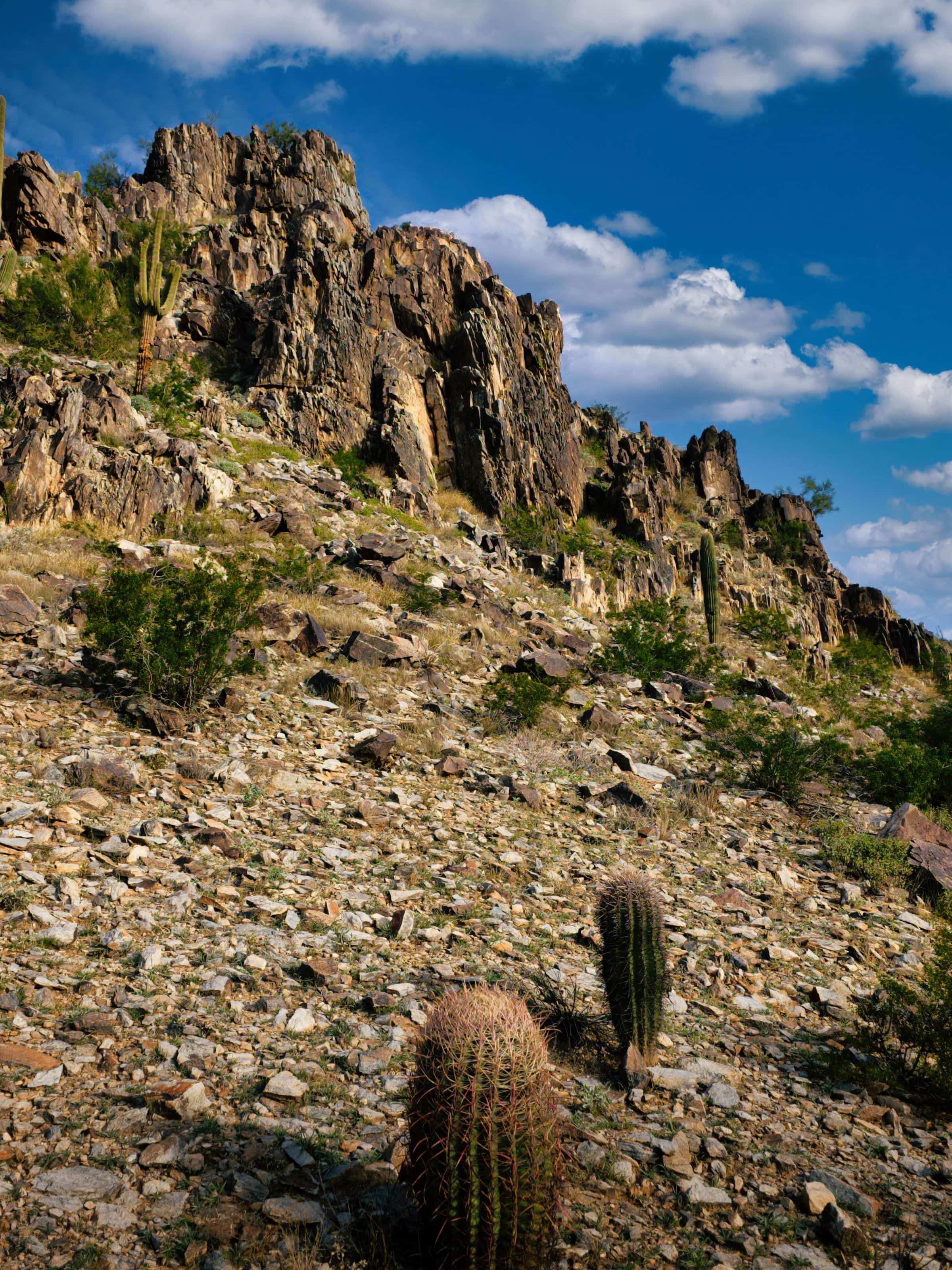
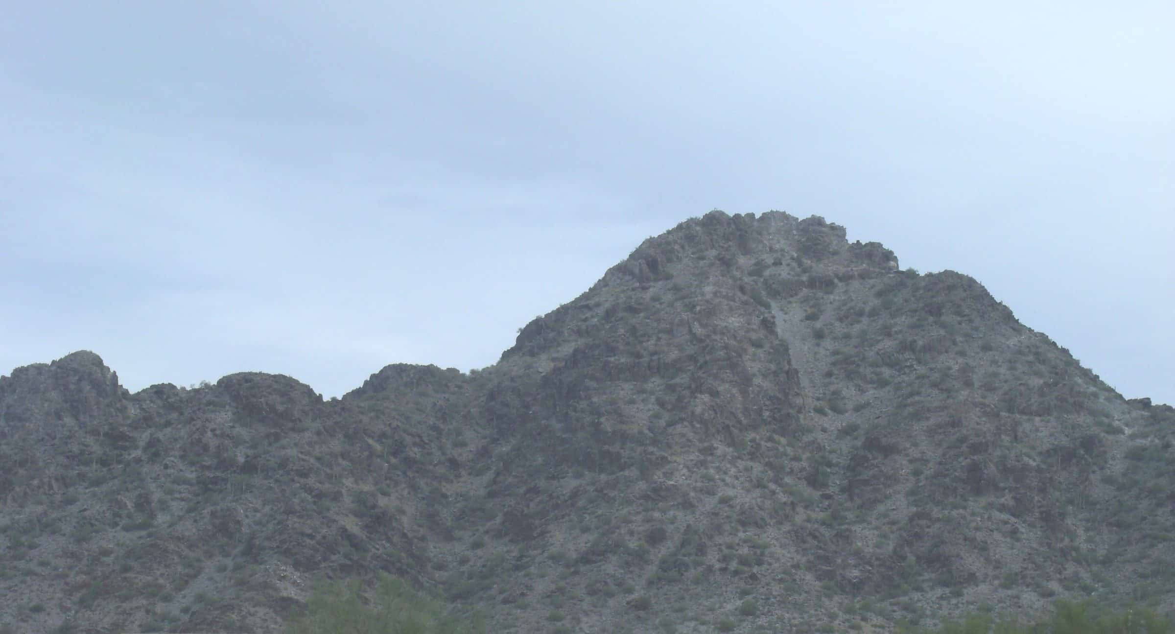
A rolling, almost fully exposed loop around two low peaks in the Phoenix Sonoran Preserve in north Phoenix, with views over Dove Valley.
From the Desert Vista Trailhead, the Hawks Nest Trail leads to the Dixie Mountain Loop, which starts on one side of the southern mountain and comes back around the north one with views over Dove Valley. The City says the climbs are a bit smaller counterclockwise, and two short spur trails reach the highest peaks in this part of the preserve. The trail narrows in a few spots, and there's almost no shade.
- Parking
No parking details yet.
Trailhead: Desert Vista Trailhead (1900 W. Desert Vista Tr.).
- Fee
Free
- Dogs
- Dogs on leash
- Shade
- None
- Hazards
- No dogs on City trails when it’s above 100°F.
- Almost entirely exposed; bring plenty of water and sun protection.
- The trail narrows in a few spots.
- Best months
October to April, when the average high in Phoenix is under 90°F.
- Sources
5 sources · last verified Oct 16, 2026. Report a change
Where each fact comes from
- Sonoran Preserve trail map — City of Phoenix (PDF) checked 2026-10-16
- Sonoran Preserve Trails — City of Phoenix Parks and Recreation checked 2026-10-16
- Hiking and Trails (leash and heat rules) — City of Phoenix checked 2026-10-16
- Free: the City lists hours and trails for the Sonoran Preserve but no fee checked 2026-10-16
- Best months: normal high under 90°F, Phoenix Sky Harbor 1991–2020 (NOAA NCEI) checked 2026-10-16
Low heat risk · now
73°F now · high 83°
Sunset 5:49p · ~2h 15m hike
As of Today 9:12a · NWS forecast · NWS alerts · NWS HeatRisk
Next 6 days · high / low · NWS HeatRisk today 1 of 4
- Tomorrow86° / 65°
- Wed80° / 69°Rain 85% 6:13a–5:47p
- Thu74° / 63°Rain 78% 6:13a–5p
- Fri72° / 58°
- Sat74° / 56°
- Sun77° / 57°
From the trail
Field notes
Not field-tested yet. This hike is researched from 5 sources, listed above. When Owen hikes it, his notes go here with the route and month.
Nearby
Phoenix