White Tank Waterfall
Waterfall Trail · Waterfall Trailhead, White Tank Mountain Regional Park
Photo: Venske · CC BY-SA 3.0- Distance
- 1.9 mimi
- Climb
- 229 ftft
- Est. time
- about 0 hours 45 minutes
- Difficulty
- Easy
A short walk up a rocky canyon in White Tank Mountain Regional Park to a waterfall that flows after heavy rain; the first half mile is barrier-free.
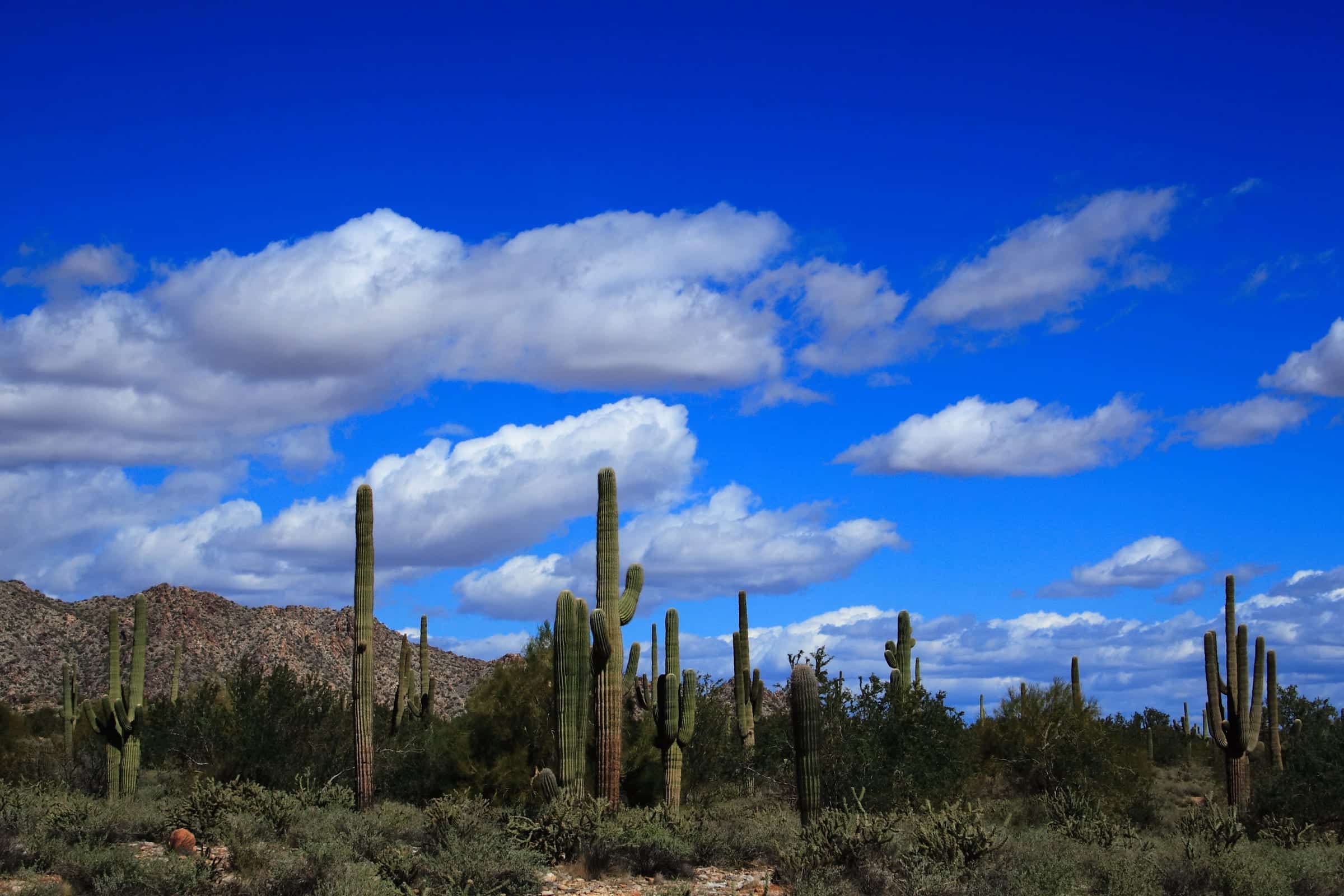
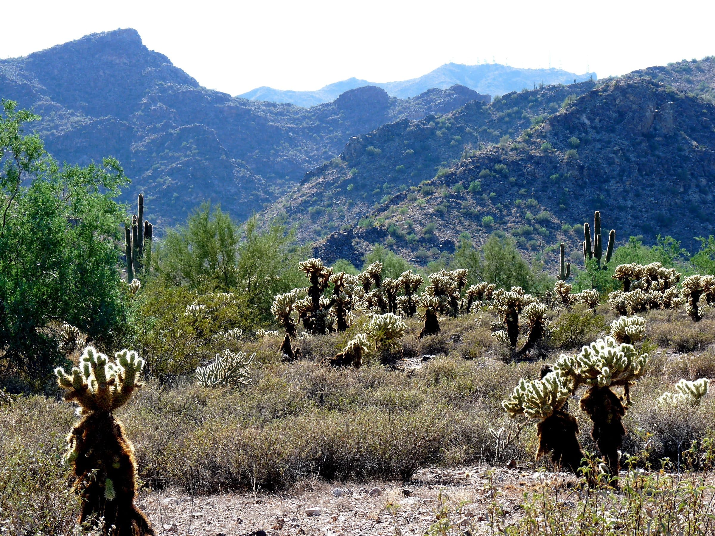
White Tank Mountain Regional Park is the largest park in Maricopa County's system, nearly 30,000 acres on the Valley's west edge. The "tanks" that name the range are depressions that flash floods have scoured into white granite. The Waterfall Trail's first half mile is barrier-free with interpretive signs; past that it's hike-only up a rocky canyon to the falls, which run only after heavy rain. The park says petroglyphs can be seen along its trails, including at Petro Plaza.
- Parking
No parking details yet.
Trailhead: Waterfall Trailhead, White Tank Mountain Regional Park.
- Fee
$10/vehicle
$5 per person walking, biking or riding in
- Dogs
- Dogs on leash
- Shade
- Not confirmed yet
- Hazards
- No specific hazards recorded beyond desert heat.
- Best months
October to April, when the average high in Phoenix is under 90°F.
- Sources
8 sources · last verified Sep 24, 2026. Report a change
Photo: Venske · CC BY-SA 3.0
Where each fact comes from
- White Tank Mountain Regional Park map — Maricopa County Parks (PDF) checked 2026-09-27
- Trails — White Tank Mountain Regional Park, Maricopa County Parks checked 2026-09-24
- Park Fees — Maricopa County Parks and Recreation checked 2026-09-24
- Park Rules — Maricopa County Parks checked 2026-09-24
- Waterfall Trailhead — OpenStreetMap checked 2026-09-24
- Easy: 1.8 mi round trip, the first half mile barrier-free per the county, about 230 ft of gain checked 2026-09-24
- Best months: normal high under 90°F, Phoenix Sky Harbor 1991–2020 (NOAA NCEI) checked 2026-09-24
- White Tank Mountain — Maricopa County Parks checked 2026-10-02
Low heat risk · now
72°F now
First light Tomorrow 6:13a · ~45m hike
- Not updating right now: NWS HeatRisk.
As of Today 9:10p · NWS forecast · NWS alerts · NWS HeatRisk
Next 6 days · high / low
- Tomorrow87° / 66°
- Tue88° / 68°
- Wed84° / 70°Rain 46% 11a–5p
- Thu78° / 64°Rain 48% 6:15a–11a
- Fri75° / 60°
- Sat78° / 58°
From the trail
Field notes
Not field-tested yet. This hike is researched from 8 sources, listed above. When Owen hikes it, his notes go here with the route and month.
Nearby
West Valley