Dobbins Lookout
Holbert Trail to Dobbins Lookout · Holbert Trailhead
Photo: Gage Skidmore · CC BY-SA 3.0- Distance
- 4.5 mimi
- Climb
- 1,003 ftft
- Est. time
- about 2 hours 0 minutes
- Difficulty
- Moderate
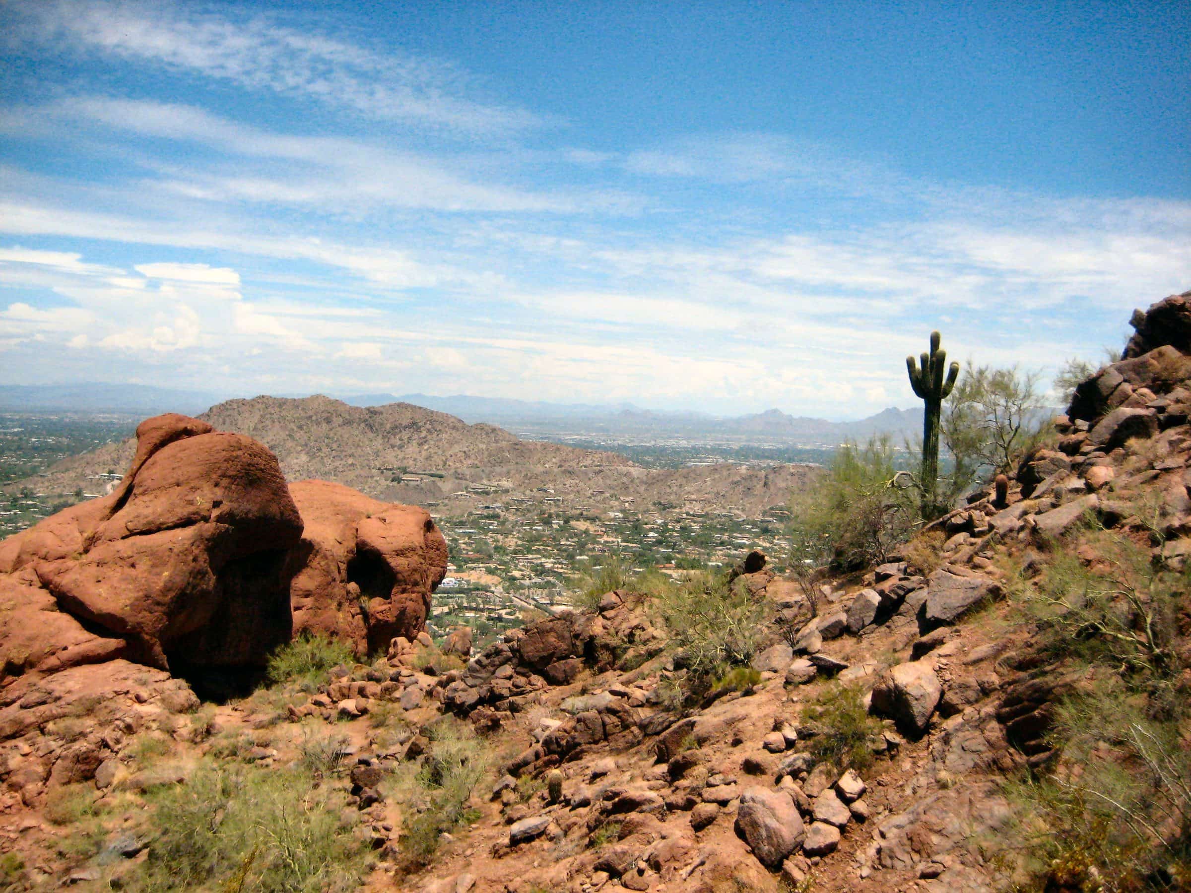
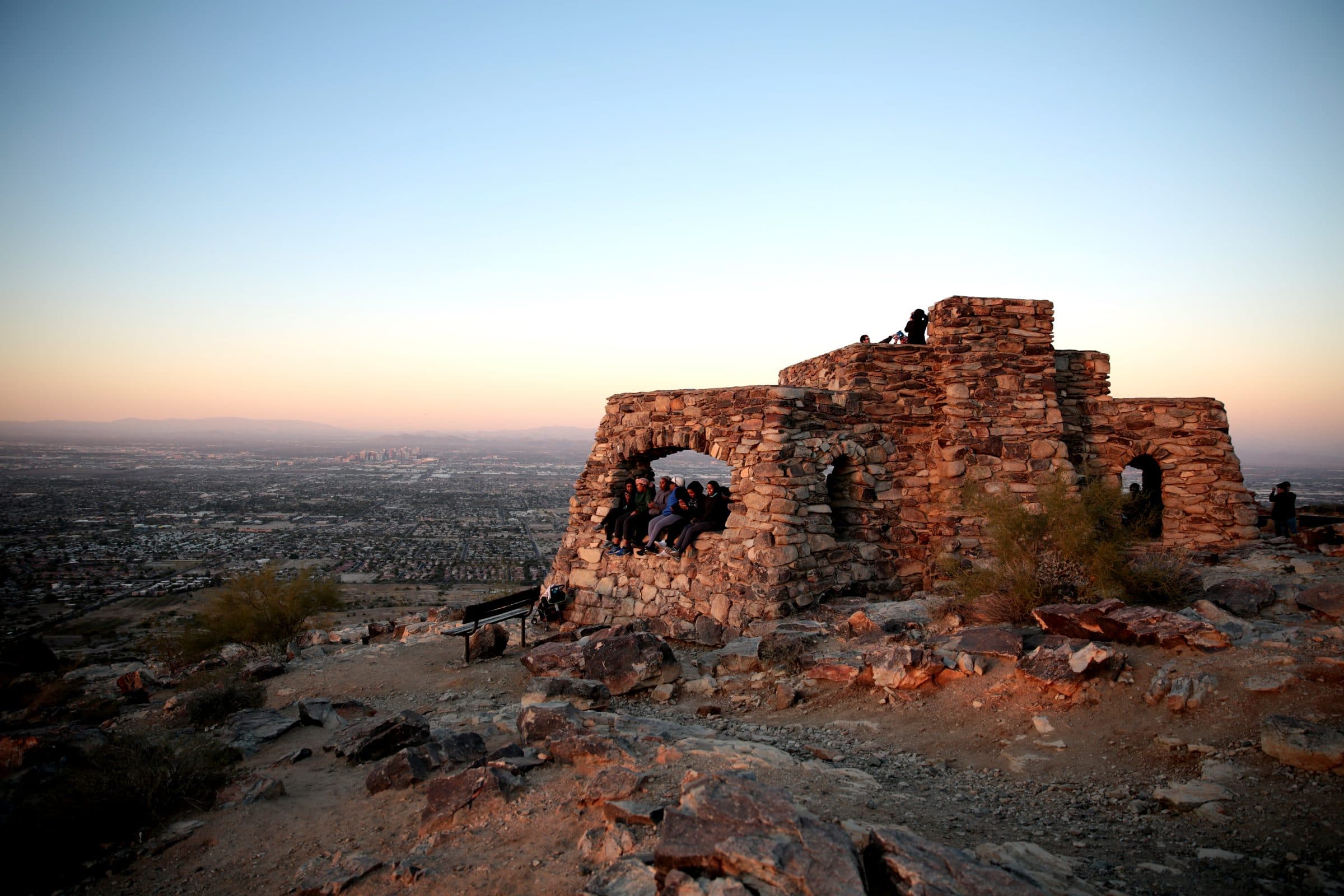
A steady, unshaded climb on the Holbert Trail to Dobbins Lookout, the highest point open to the public in South Mountain Park, with a view across the whole Valley.
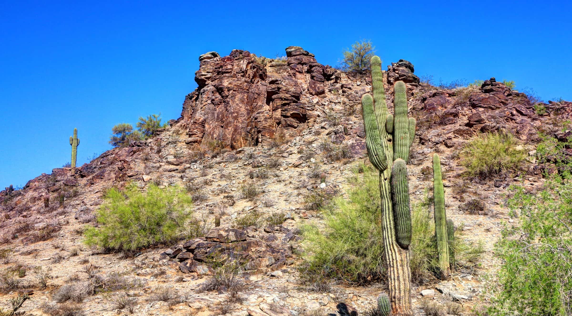
At 2,330 feet, Dobbins Lookout is the highest point the public can reach in South Mountain Park/Preserve. The Holbert Trail starts flat near the visitor center, crosses a wash, then climbs steady switchbacks with no shade. At the top, an old stone shelter looks out over all of Phoenix and the mountains around it. Summit Road also reaches the lookout, so you'll meet people who drove up. Petroglyphs can be seen along the trail.
- Parking
Trailhead lot at the end of the road past the visitor center; the park road is usually open 5am to 7pm.
Trailhead: Holbert Trailhead.
- Fee
Free
- Dogs
- Dogs on leash
- Shade
- None
- Hazards
- The City of Phoenix closes this trail 8a–5p on Extreme Heat Warning days.
- No dogs on City trails when it’s above 100°F.
- Best months
October to April, when the average high in Phoenix is under 90°F.
- Sources
7 sources · last verified Sep 24, 2026. Report a change
Photo: Gage Skidmore · CC BY-SA 3.0
Where each fact comes from
- South Mountain Park/Preserve trail map — City of Phoenix (PDF) checked 2026-09-27
- South Mountain Park/Preserve — City of Phoenix Parks and Recreation checked 2026-09-24
- South Mountain Trails — City of Phoenix Parks and Recreation checked 2026-09-24
- Hiking and Trails (leash and heat rules) — City of Phoenix checked 2026-09-24
- Free: the City lists hours and rules for South Mountain but no fee checked 2026-09-24
- Dobbins Lookout via Holbert Trail — 10Adventures (updated 2026-09-01) checked 2026-09-24
- Best months: normal high under 90°F, Phoenix Sky Harbor 1991–2020 (NOAA NCEI) checked 2026-09-24
Low heat risk · now
75°F now · high 86°
Sunset 5:50p · ~2h hike
As of Today 9:12a · NWS forecast · NWS alerts · NWS HeatRisk
Next 6 days · high / low · NWS HeatRisk today 1 of 4
- Tomorrow89° / 69°
- Wed84° / 74°Rain 76% 6:12a–5:47p
- Thu78° / 68°Rain 61% 6:13a–5p
- Fri75° / 61°
- Sat76° / 59°
- Sun80° / 59°
From the trail
Field notes
Not field-tested yet. This hike is researched from 7 sources, listed above. When Owen hikes it, his notes go here with the route and month.
Nearby
Phoenix