Picketpost Mountain
Picketpost Mountain Trail · Picket Post Trailhead (Forest Road 310, off US 60)
Photo: Kevin Dooley · CC BY 2.0- Distance
- 4.4 mimi
- Climb
- 1,998 ftft
- Est. time
- about 2 hours 30 minutes
- Difficulty
- Hard
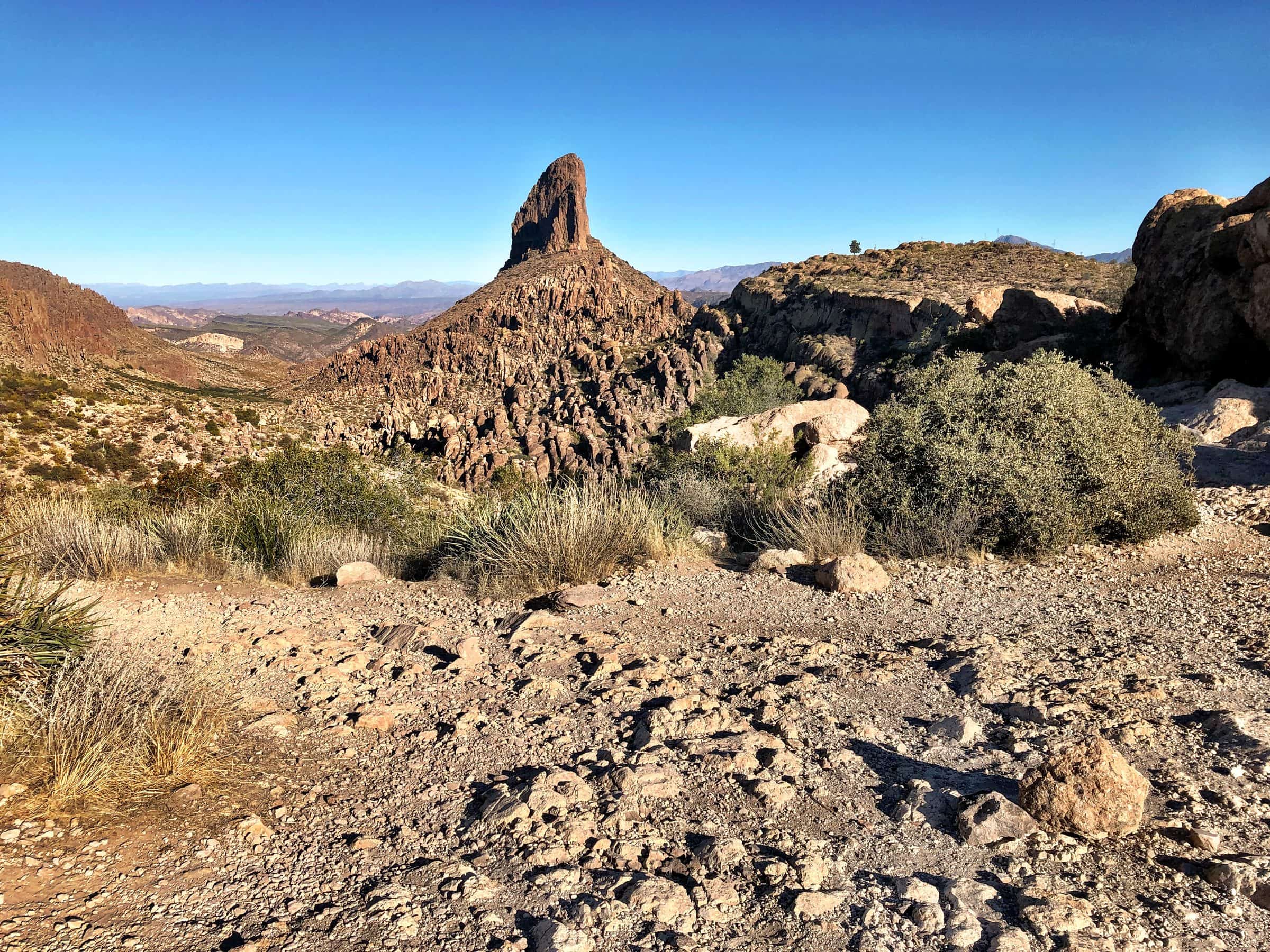
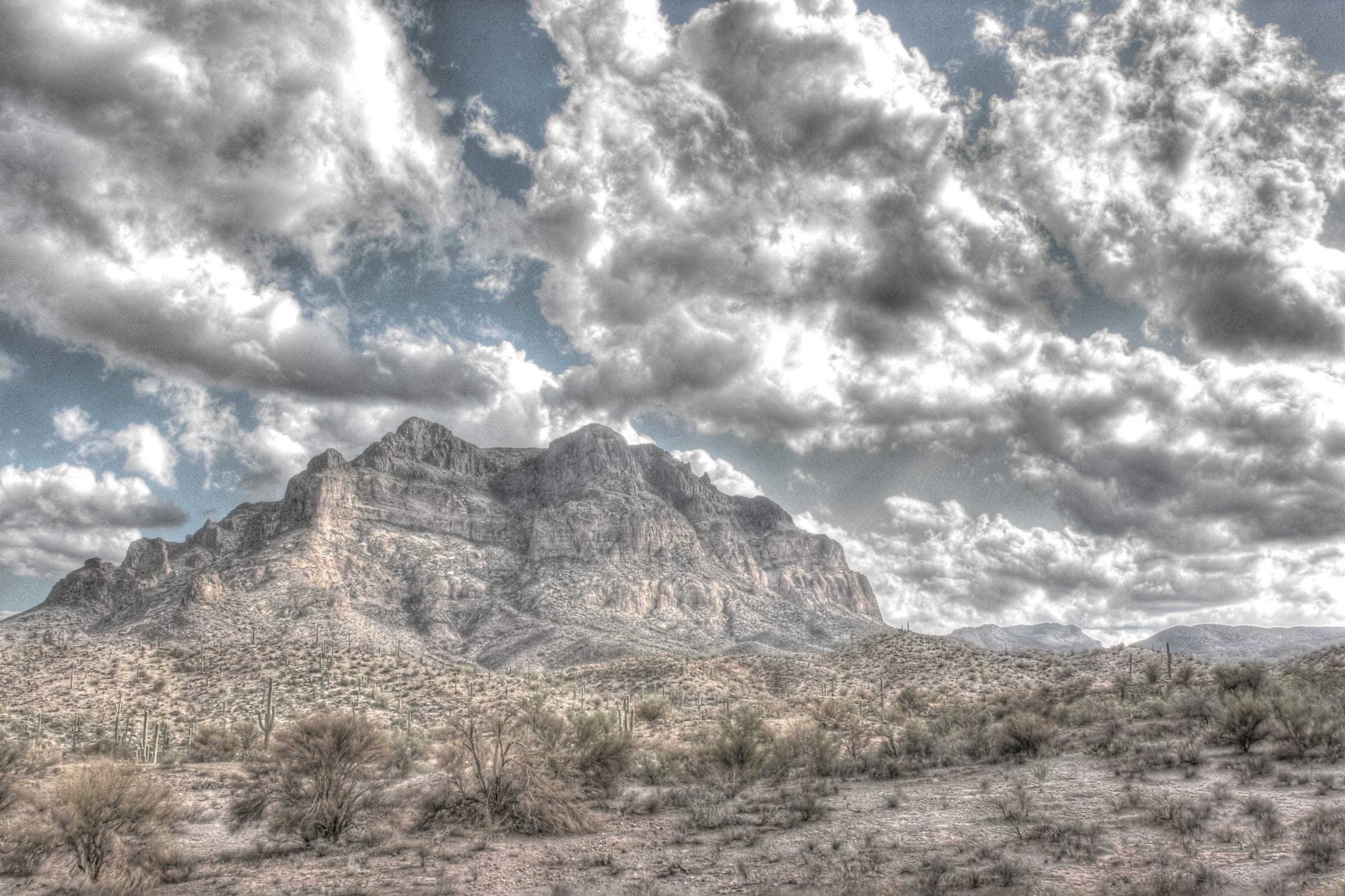
A short, steep climb up a rocky gully to the flat top of Picketpost Mountain near Superior, with Class 3 scrambling on the way up.
Picketpost Mountain is a cliff-sided butte just off US 60 near Superior. The route leaves the Picket Post Trailhead on the Arizona Trail, then turns up a steep, rocky gully where hands are needed in several places. Above the gully the top is a broad plateau, and a red mailbox at the high point holds notes left by other hikers. The trailhead has a toilet but no water, and there's no fee.
- Parking
The trailhead lot fills on weekends; overflow parking is along the forest road.
Trailhead: Picket Post Trailhead (Forest Road 310, off US 60).
- Fee
Free
- Dogs
- Dogs on leash
- Shade
- Not confirmed yet
- Hazards
- Class 3 scrambling up a steep gully; the route there is marked by painted arrows rather than a clear trail.
- No drinking water at the trailhead.
- Best months
October to April, when the average high in Phoenix is under 90°F.
- Trail map
- None found
- Sources
8 sources · last verified Oct 2, 2026. Report a change
Photo: Kevin Dooley · CC BY 2.0
Where each fact comes from
- Picket Post Trailhead — Tonto National Forest checked 2026-10-02
- Tonto National Forest — FAQs ("Pets are welcome, but must be kept on a leash") checked 2026-10-02
- OpenStreetMap — parking beside the Arizona Trail at the Picket Post Trailhead checked 2026-10-02
- Hike Picketpost Mountain — Stav is Lost (Jan 2023) checked 2026-10-02
- Picketpost Mountain Trail — 10Adventures (updated 2026-08-24) checked 2026-10-02
- Picketpost Mountain Hike — The AZ Hikeaholics (undated) checked 2026-10-02
- Picketpost Mountain Loop Hike in Arizona — Must Bring Snacks (Jan 2026) checked 2026-10-02
- Best months: normal high under 90°F, Phoenix Sky Harbor 1991–2020 (NOAA NCEI) checked 2026-10-02
Low heat risk · now
73°F now · high 83°
Sunset 5:46p · ~2h 30m hike
As of Today 9:42a · NWS forecast · NWS alerts · NWS HeatRisk · Tonto National Forest
Next 6 days · high / low · NWS HeatRisk today 1 of 4
- Tomorrow86° / 65°
- Wed84° / 68°Rain 78% 6:09a–5:44p
- Thu74° / 63°Rain 93% 6:09a–5:43p
- Fri71° / 58°
- Sat74° / 54°
- Sun77° / 56°
From the trail
Field notes
Not field-tested yet. This hike is researched from 8 sources, listed above. When Owen hikes it, his notes go here with the route and month.
Nearby
East Valley & Superstitions