Go John Trail
Go John Trail · Go John Trailhead, Cave Creek Regional Park
- Distance
- 5.9 mimi
- Climb
- 856 ftft
- Est. time
- about 2 hours 25 minutes
- Difficulty
- Moderate
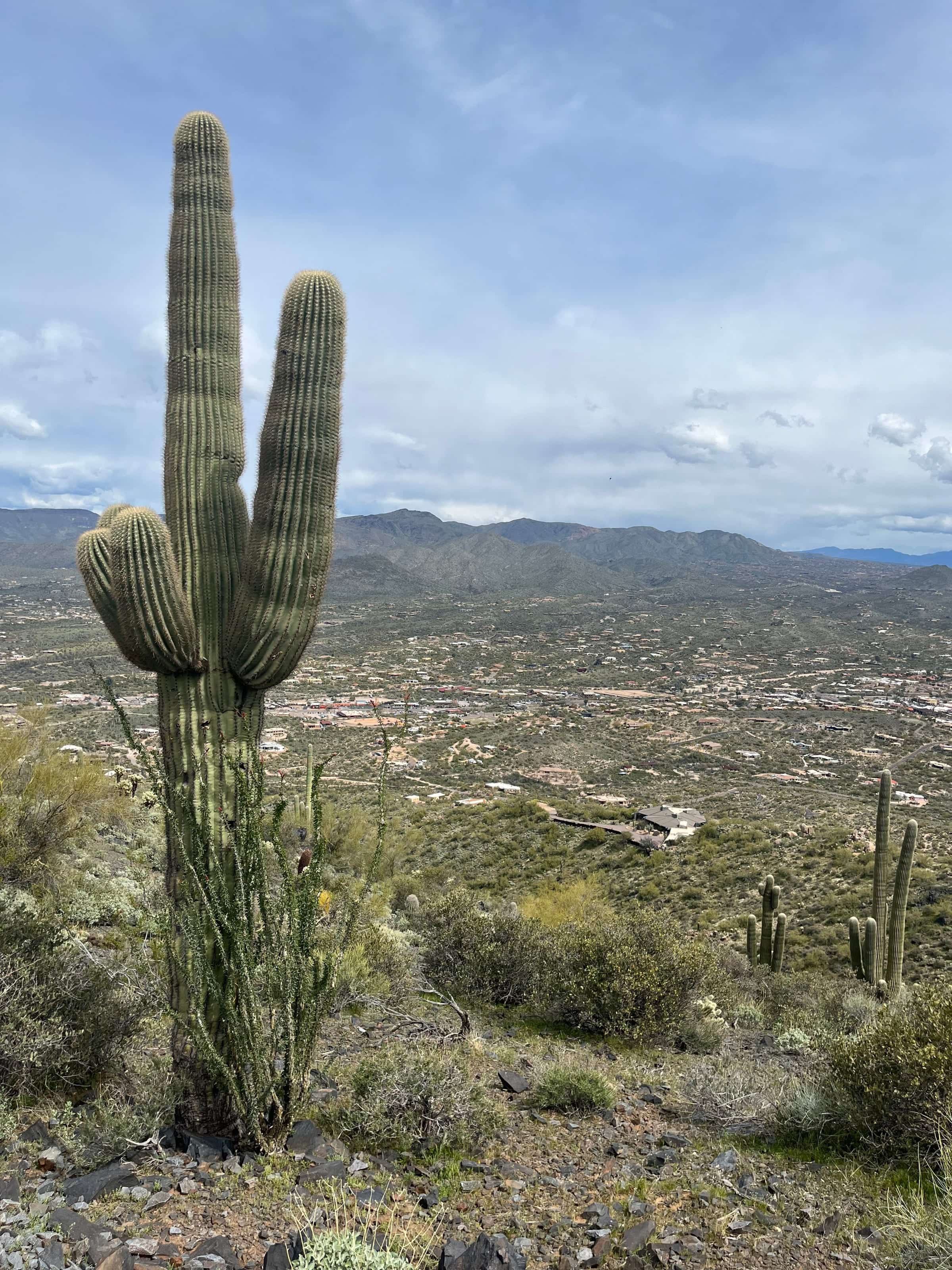
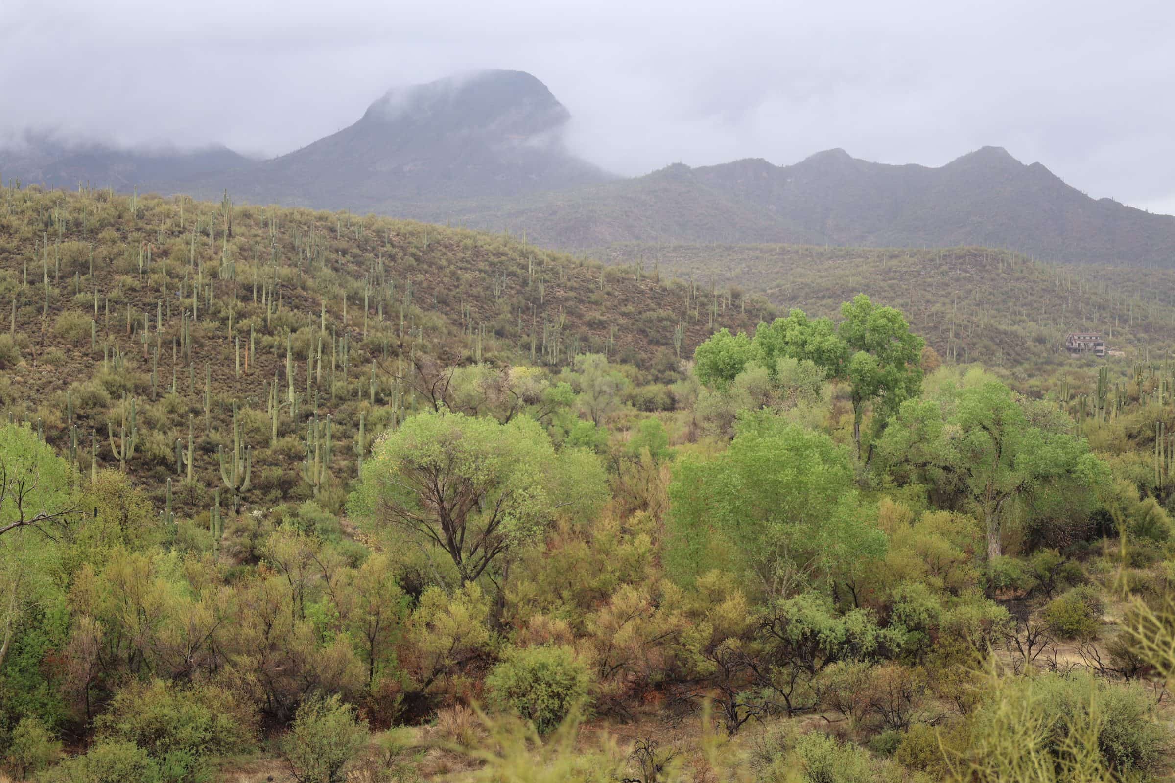
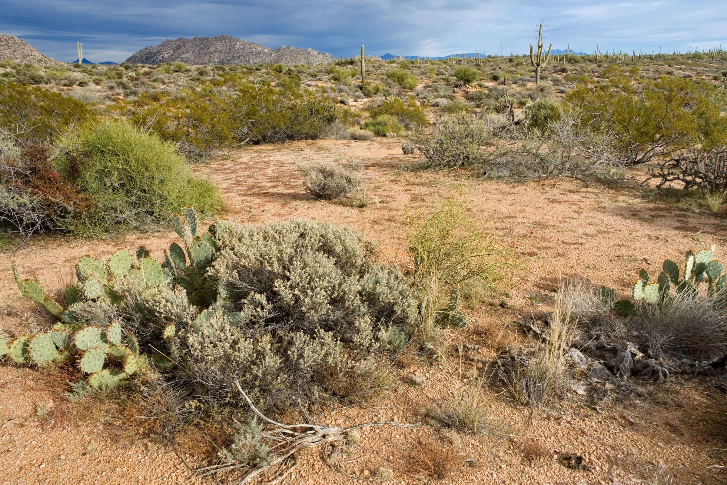
A long loop around a mountain in Cave Creek Regional Park, on uneven, rocky trail through hills once worked by gold prospectors.
The Go John Trail circles a mountain in Cave Creek Regional Park, and the county says it gives "the illusion of being miles away from civilization." Prospectors worked these hills in the 1870s, and the footing is uneven dirt, rock and ruts.
- Parking
No parking details yet.
Trailhead: Go John Trailhead, Cave Creek Regional Park.
- Fee
$10/vehicle
$5 per person walking, biking or riding in
- Dogs
- Dogs on leash
- Shade
- Not confirmed yet
- Hazards
- No specific hazards recorded beyond desert heat.
- Best months
October to April, when the average high in Phoenix is under 90°F.
- Sources
8 sources · last verified Sep 24, 2026. Report a change
Where each fact comes from
- Cave Creek Regional Park map — Maricopa County Parks (PDF) checked 2026-09-27
- Trails — Cave Creek Regional Park, Maricopa County Parks checked 2026-09-24
- Park Fees — Maricopa County Parks and Recreation checked 2026-09-24
- Park Rules — Maricopa County Parks checked 2026-09-24
- Loop: the county lists Go John as one 5.8 mi trail that returns to its trailhead, matching the 5.9 mi loop in the route stats checked 2026-09-24
- OpenStreetMap — parking lot about 110 m from the start of the Go John Trail, Cave Creek Regional Park checked 2026-09-24
- Best months: normal high under 90°F, Phoenix Sky Harbor 1991–2020 (NOAA NCEI) checked 2026-09-24
- Cave Creek Regional Park — Maricopa County Parks checked 2026-10-02
Low heat risk · now
69°F now
First light Tomorrow 6:11a · ~2h 25m hike
- Not updating right now: NWS HeatRisk.
As of Today 9:09p · NWS forecast · NWS alerts · NWS HeatRisk
Next 6 days · high / low
- Tomorrow81° / 64°
- Tue83° / 66°
- Wed79° / 68°Rain 71% 6:12a–5:46p
- Thu72° / 61°Rain 83% 6:13a–5:45p
- Fri69° / 59°
- Sat73° / 57°
From the trail
Field notes
Not field-tested yet. This hike is researched from 8 sources, listed above. When Owen hikes it, his notes go here with the route and month.
Nearby
North Scottsdale & Cave Creek