Sunrise Peak
Sunrise Trail · Sunrise Trailhead (12101 N. 145th Way)
- Distance
- 3.9 mimi
- Climb
- 1,141 ftft
- Est. time
- about 1 hours 50 minutes
- Difficulty
- Hard
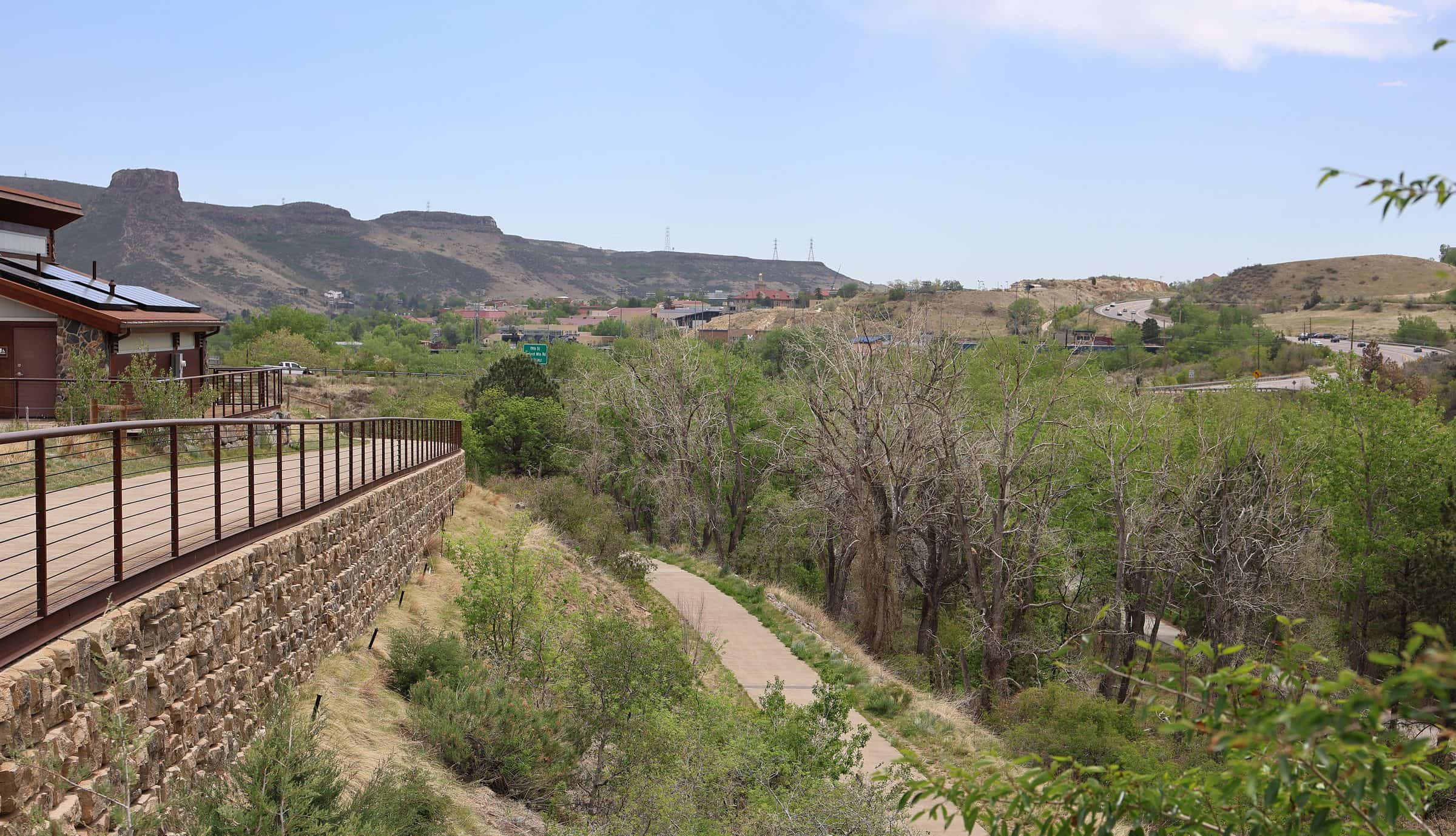
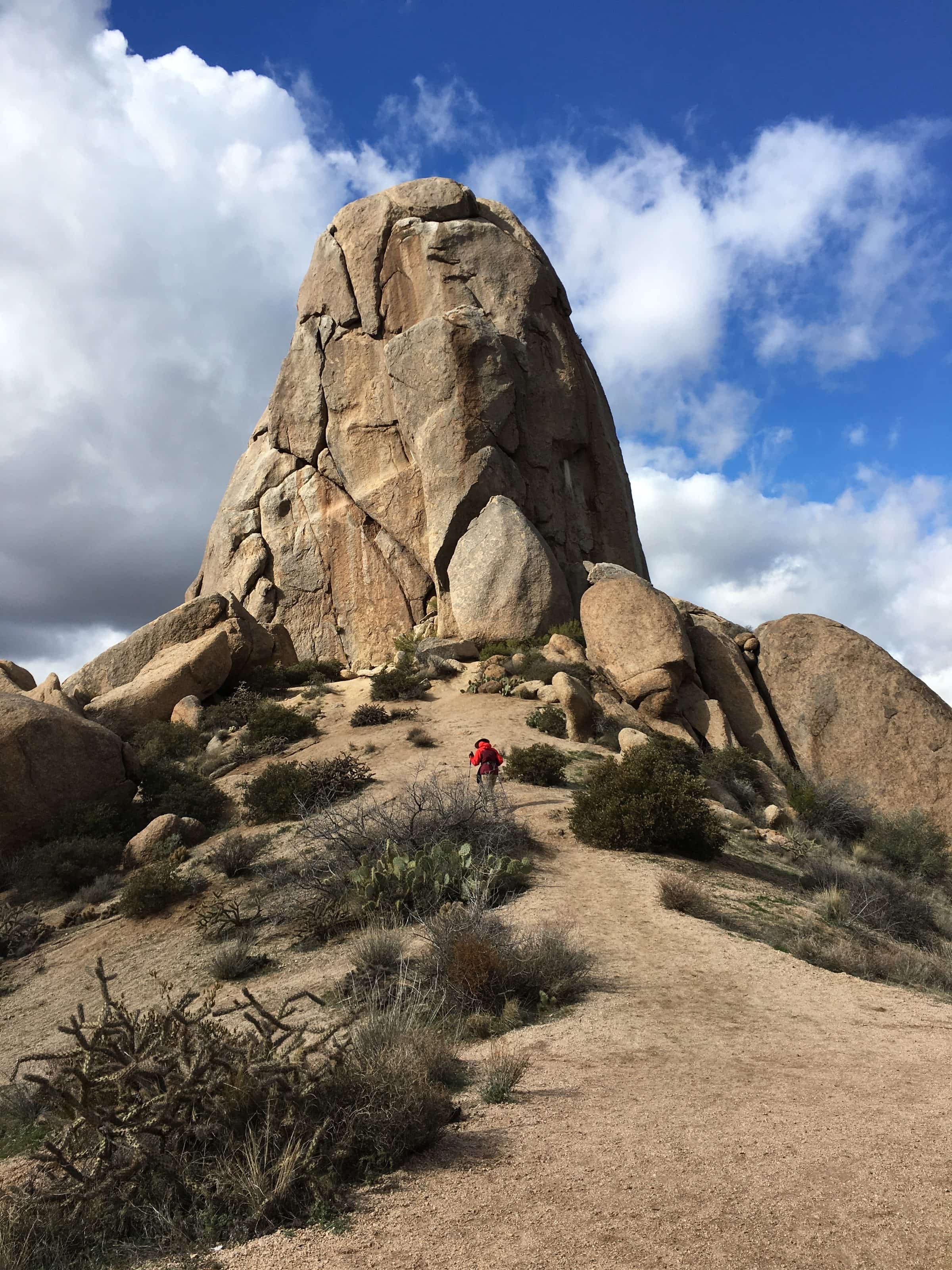
A climb on long switchbacks from the Sunrise Trailhead to a rocky summit at the south end of the McDowell Mountains, with views over Fountain Hills and the Valley.
The Sunrise Trail climbs from the east edge of the McDowell Sonoran Preserve on long, steady switchbacks, past an old barbed-wire fence, to the Sunrise Scenic View, a wayside looking west over metro Phoenix. From there it's 0.8 miles more to the summit, where the trail gets rockier among big boulders. The top has a 360-degree view.
- Parking
A trailhead lot with drinking water and limited horse-trailer parking.
Trailhead: Sunrise Trailhead (12101 N. 145th Way).
- Fee
Free
- Dogs
- Dogs on leash
- Shade
- Not confirmed yet
- Hazards
- The last stretch to the summit is rockier, among large boulders.
- Best months
October to April, when the average high in Phoenix is under 90°F.
- Sources
4 sources · last verified Oct 16, 2026. Report a change
Where each fact comes from
- McDowell Sonoran Preserve south area trail map — City of Scottsdale (PDF) checked 2026-10-16
- McDowell Sonoran Preserve — City of Scottsdale checked 2026-10-16
- Sunrise Trail — Arizona Highways (Hike of the Month) checked 2026-10-16
- Best months: normal high under 90°F, Phoenix Sky Harbor 1991–2020 (NOAA NCEI) checked 2026-10-16
Low heat risk · now
70°F now
First light Tomorrow 6:10a · ~1h 50m hike
- Not updating right now: NWS HeatRisk.
As of Today 9:09p · NWS forecast · NWS alerts · NWS HeatRisk
Next 6 days · high / low
- Tomorrow83° / 65°
- Tue85° / 66°
- Wed81° / 69°Rain 65% 6:11a–5:46p
- Thu74° / 63°Rain 82% 6:12a–5:45p
- Fri71° / 59°
- Sat75° / 58°
From the trail
Field notes
Not field-tested yet. This hike is researched from 4 sources, listed above. When Owen hikes it, his notes go here with the route and month.
Nearby
North Scottsdale & Cave Creek